
Severe thunderstorm warning issued for SW Queensland
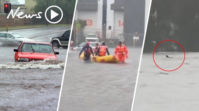
Severe thunderstorm alerts are active for much of Queensland today with the Bureau of Meteorology warning of giant hailstones, destructive winds and intense rainfall that could spark flash flooding. There are already reports of flooding in parts after a 50mm deluge.
QLD News
Don't miss out on the headlines from QLD News. Followed categories will be added to My News.
New thunderstorm warnings have been issued for much of inland Queensland.
The Bureau of Meteorology have updated their earlier warning for the southwest to now include the Channel Country, North West, Central West, Gulf Country, North Goldfields, Central Highlands, Maranoa, Warrego and parts of the Darling Downs.
They have also advised that “supercell thunderstorms” with the risk of destructive winds, giant hailstones, and intense rainfall are possible in the Central West.
This includes regional townships such as Longreach, Isisford, Barcaldine, Tambo, Blackall, Stonehenge, Ilfracombe, Aramac and Brighton Downs.
Locals have been reporting massive rainfalls in and around Longreach and Barcaldine, with many taking to social media to share their totals.
“77mm at Noonbah Station, 130km SW of Longreach” one user posted
“25ml in our gauge in Barcaldine” another posted just after 2pm Saturday afternoon
Hannah Hahn from the “Who Got The Rain?” group on Facebook also shared a lovely photo of daughter Brydie enjoying the 51mm that had fallen at Burkobulla Station, North of Eromanga.
“(The rain) will do wonders for the country this time of year!” she commented with the photo.
â›ˆï¸ Qld thunderstorm forecast â›ˆï¸ for today:
— Bureau of Meteorology, Queensland (@BOM_Qld) September 19, 2020
Storms are possible across much of inland #Qld. Severe storms are currently occurring in the central west and more are expected in the southwest. Severe storms may have damaging winds, heavy rain & large hail. https://t.co/FBmpsInT9o pic.twitter.com/IwZYsHCc1o
Minor flooding has been reported in the Bulloo River at Quilpie, with 30-50mm falling in the area overnight.
âš ï¸ Initial minor #Flood Warning issued for Bulloo River at #Quilpie. 30-50mm has fallen over parts of the catchment overnight, with more showers & storms likely this weekend. Details & updates: https://t.co/FBmpsInT9o Follow the advice of @QldFES & remember… pic.twitter.com/TaRwHX7QFF
— Bureau of Meteorology, Queensland (@BOM_Qld) September 18, 2020
The thunderstorm trough is associated with a cut-off low pressure system over South Australia.
The warning comes as the region soaked up over 200mm of rain at the start of the year, causing a drought-breaking flood that led to the Diamantina River, Georgina River and Eyre Creek to break their banks.
Meanwhile, the rest of the state will be facing average or near average maximum temperatures today, with Brisbane, Caloundra, and the Gold Coast all forecast to hit 25C, with the majority of north Queensland staying in the mid 30s.
Kowanyama is forecasted to swelter as the hottest place in Queensland today, hitting a max of 37C.
In stark contrast, it will be rather cooler for the second day of the Toowoomba Carnival of Flowers, with the region set for a maximum of 22C.
Originally published as Severe thunderstorm warning issued for SW Queensland