
Wild weather change forecast to hit NSW
Meteorologists are warning of extreme weather conditions to hit NSW over the next 48 hours as two contrasting systems are set to collide.
NSW
Don't miss out on the headlines from NSW. Followed categories will be added to My News.
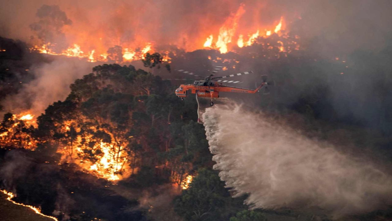
An emergency-level bushfire in northern NSW formed its own thunderstorm as another warm, windy day created “challenging” conditions, with more than 60 fires burning overnight.
Firefighters were faced with strong winds, dry lightning and faster-spreading fire conditions when a ‘pyrocumulonimbus’ storm cloud formed over the Glens Creek Rd fire at Nymboida, 30km southwest of Grafton on Wednesday afternoon.
RFS spokeswoman Emilie Koek said the fire-generated weather was creating “very dangerous conditions” for dozens of firefighters battling the blaze on the ground.
“The fire will spread a lot quicker, in different directions,” Ms Koek said.
“Our crew’s first priority is to slow the spread... but to have somewhere to pull back to if it becomes unsafe.”
Ms Koek said more than a dozen fire trucks were on the scene battling the blaze with the help of six firefighting aircraft across a 3007-hectare fire ground, and that it was unclear if any properties had been damaged or lost yet.
The storm formed less than an hour after residents of Nymboida and Blaxlands Flat were warned to shelter in place as the fire roared back to emergency level for the third time in three days.
There were 19 fires still to be contained as of Wednesday evening, and Thursday is expected to be another challenging day for firefighters as they work to identify containment lines.
A weather system is forecast to bring only showers, not the heavy rain firies are looking for, and windy conditions are expected. Fire danger ratings from the Bureau of Meteorology for Thursday are high for much of the state, including in Sydney, the Illawarra, and the New England and Northern Slopes regions.
There are no regions rated ‘extreme’ for Thursday, after three areas were given the designation on Wednesday. Total fire bans are in place on Thursday for the North Western and Northern Slopes regions.
A strong cold front making its way up the southern coast of Australia over the coming days will push against a much warmer air mass across NSW and Queensland, and experts are saying it could cause “volatile” conditions.
“The interaction between these contrasting air masses will create a mix of volatile weather, which will feature elevated fire danger ratings, heavy rain, damaging wind gusts and snow,” website Weatherzone reported earlier.
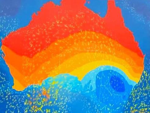
According to the Bureau of Meteorology, Sydney temperatures will dramatically drop to lows of 12C and highs of 19C on Thursday.
Conditions will intensify with at least 5mm of rainfall forecast and southerly gale-forced winds at 30 to 45km/h set to lash the suburbs.
Tasmanian snow fields are also set to endure an unseasonable downfall of snow.
Kunayi/Mount Wellington, above Hobart, will bottom out at 0C on Wednesday and as low as -2C on Friday.

Tanker falls on teen in eastern suburbs workplace accident
A man in his late teens has been rushed to hospital after a large tanker fell on him during a workplace accident in Sydney’s east.

Huge food and grog splurge from council seeking 40% rate hike
The huge amount Northern Beaches Council spends on catering at its council meetings has been revealed, after it hiked rates by 39.6%.