
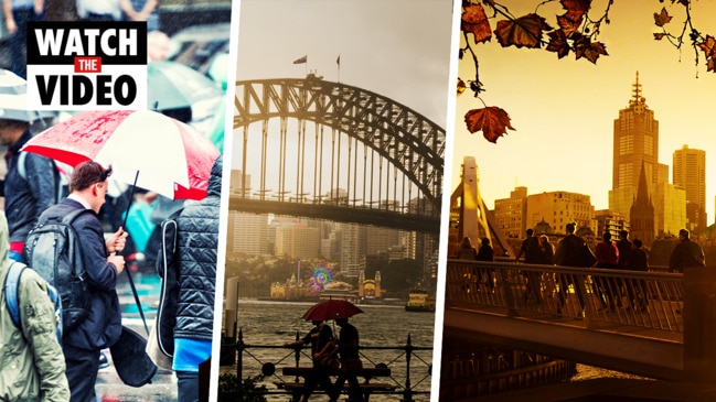
NSW weather: Severe storm moving across Sydney’s west towards city
Both Sydney’s west and east are on alert this evening with a severe storm tracking across the western suburbs headed for Sydney’s CBD and suburbs.

NSW
Don't miss out on the headlines from NSW. Followed categories will be added to My News.
Severe thunderstorms which swept across Sydney and the Hunter region mark the start of several days of stormy weather, according to experts.
Sydneysiders braced for a severe thunderstorm moving across the western suburbs towards the city centre on Monday afternoon after the Bureau of Meteorology issued a warning for a cell which hit Penrith.
The cell brought 78km/h winds and 18mm of rain before it moved east over much of western Sydney, with Liverpool, Parramatta, Sydney Airport and the Sydney CBD in the firing line, but weakened as it continued towards the coast.
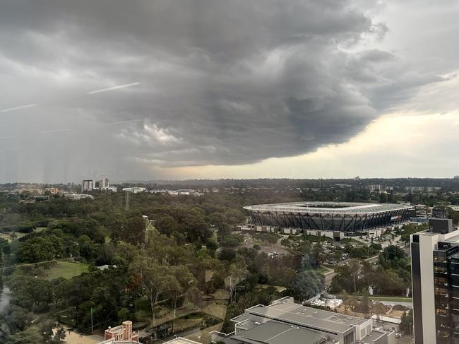
It comes as a severe storm also lashed the Hunter region earlier this evening, with reports of power lines and trees down in certain areas.
BOM forecaster Jake Phillips said Singleton and Maitland had been hit hard by the wild weather, with 94km/h wind gusts and “torrential” rain bursts.
“We’ve had reports of pea-sized hail in the Hunter, and lots of branches and power lines down, particularly around Singleton,” Mr Phillips said.
“A lot of trees are down overall, we recorded gusts of 94km/h in Maitland… quite a lot of locations around the Hunter and northern tablelands had heavy downpours, about 20 to 30ml falling in half an hour.”
Cell based severe thunderstorm warning issued for Sydney. Gusts of 78 km/h and reports of fallen trees around Penrith. pic.twitter.com/jY9ZIofTiX
— Bureau of Meteorology, New South Wales (@BOM_NSW) March 8, 2021
A severe storm warning was active for the Hunter, Metropolitan, North West Slopes and Plains and parts of Mid North Coast, Illawarra, Central Tablelands and Northern Tablelands before being cancelled about 7pm.
Taree, Gosford, Sydney, Armidale, Tamworth and Moree all recorded storm activity this evening.
Mr Phillips said the next few days of “unsettled” weather could bring more storms to the state’s northeast and Sydney.
“The humid air from the tropics is moving into NSW and interacting with a low pressure trough, which is creating more showers and storms,” he said.
“We’ll be in an unsettled phase of weather which will last several days, the rain will vary from place to place but there will be showers and thunderstorms.”
Tuesday will see warm temperatures before a cool change on Wednesday.
More Coverage


Losing use of my legs 6 weeks ago won’t stop me starring on stage
Polly Mok lost use of her legs six weeks ago – but she has set herself the goal to be back on her feet next month to perform.

Sussan Ley’s mother dies days after her historic win as Liberal leader
Newly minted opposition leader Sussan Ley has tragically lost her mother Angela just days after her historic win as the first female Liberal leader.