
Sydney wakes to morning fog as snow hits regional NSW | Photos
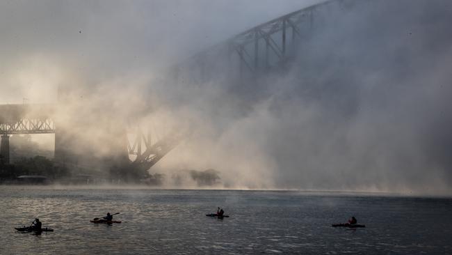
Fog rolled through the Harbour City early on Friday morning as a cold snap transformed other parts of the state into a winter wonderland.
NSW
Don't miss out on the headlines from NSW. Followed categories will be added to My News.
Ferry services were cancelled and the Harbour Bridge shrouded after a thick layer of fog settled on the city Friday morning.
The fog set in at about 5am with visibility down to 200m at Camden and Richmond, while Sydney Airport and parts of the city were at 2km.
Bureau of Meteorology forecaster David Wilke said the fog started inland and then drifted towards the coast via a westerly wind.
“While fog normally forms near water, the main source of moisture for Friday’s event was recent rains,” he said.
“Fog forms when there is low level cloud and then the moisture in the air condenses as the temperature drops.
“We may see some fog in parts of western Sydney Saturday but it is much less likely along the coast.”
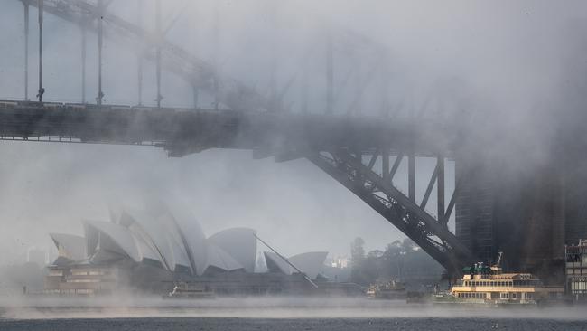
Ferries operating between Circular Quay and Pyrmont and Drummoyne and Parramatta were cancelled due to poor visibility, with services resuming about 8am.
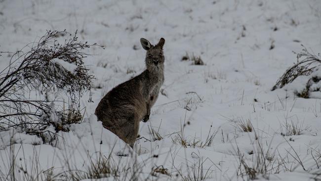
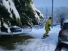
On Friday snow and ice forced road closures at Guyra and Armidale, while the road around Fitzgeralds Mount near Bathurst reopened early Friday morning.
The state’s coldest day in 37 years Thursday saw snow and ice in Oberon, Lithgow, Orange and across the alpine regions.
The clear skies and low winds this weekend mean those falls are finished for now.
Sunny skies are also expected to make perfect conditions for those heading to the ski fields this long weekend.
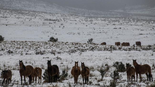
The recent weather event has dumped 70cm of snow on Perisher.
NSW Police Deputy Commissioner Gary Worboys said “we have already seen heavy snow falls in the area, so remember to act responsibly and make smart decisions behind the wheel”.
“Keep a safe distance between your vehicle and others, take regular breaks and fix snow chains to your tyres in slippery conditions,” he said.
The next dumping of snow is expected on Wednesday when a new low pressure trough moves in.
Around the state the cold snap is set to continue on Saturday, Sunday and Monday.
In Sydney overnight temperatures will remain between 8C and 9C, before reaching a maximum of 18-19C.
More Coverage

Two fight for life as mini bus rolls 100m in horror wedding crash
A mini bus carrying six people has crashed and reportedly rolled about 100 metres down an embankment while on the way to a wedding in the Hunter Valley.

By-election brawl brews as Nationals eye Kiama seat
With disgraced NSW MP Gareth Ward facing expulsion from the parliament next week, a political war is brewing between Coalition partners as Nationals eye off the former Liberal seat of Kiama.