
Sydney rain set to continue as ‘atmospheric river’ keeps dumping rain
The weather patterns creating the great big wet of 2022 are not going away any time soon. Here’s your forecast for the days ahead.


NSW
Don't miss out on the headlines from NSW. Followed categories will be added to My News.
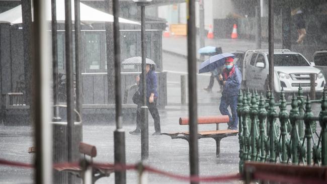
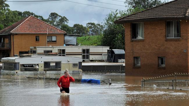
While Sydney might have escaped the worst of the flooding so far, the weather patterns creating the great big wet of 2022 are not going away any time soon.
Weather forecasters say there’s no sign of sunshine in the days ahead, with wet conditions forecast for most of next week – including a possible new front coming up from the south on the weekend bringing more heavy rain.
And we’ve just broken a record in Sydney for the most number of continuous days of more than 13mm of rain – nine days. That’s the longest stretch since weather records began over 160 years ago.
The previous record rainy spell was eight days – recorded in 1964 and 1916, Weatherzone’s meteorologist Ben Domensino has calculated.
“We’ve never got to nine days in a row before, over 13mm,” Mr Domensino said.
“It is unusual. The old record was eight days.”
Sydney’s last glimpse of proper sun with no rain was on Monday, February 21. February normally has an average nine rainy days and March, the wettest month of the year, usually has 9.9 days.
Mr Domensino says being a La Nina year has increased the chance of more rainfall in summer – but the current huge rain event is the result of a massive “atmospheric river” spanning several thousand kilometres off the NSW coast.
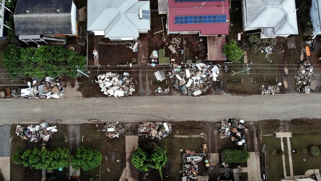
It is the same system that caused the Queensland and Lismore flooding events.
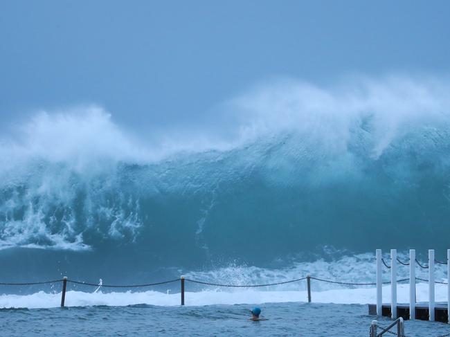

“It’s an atmospheric river, which is just a very long stream of moisture in the atmosphere that’s flowing like a river, and it extends several thousand kilometres across the ocean,” he said.
“And that atmospheric river just basically transports moisture over the ocean and when it runs into Eastern Australia, it was converted into rainfall.”
Within the river system were low pressure troughs and low pressure systems that caused specific areas of heavy rain, including the low pressure trough over Queensland sparking the floods, as well as those off Lismore.
The Bureau of Meteorology’s Hugh McDowell said there’s another cold front coming from south eastern Australia, with the potential for more heavy rain.
An upper level pool of cold air is moving across south eastern Australia and if it hits the atmospheric river, it could result in another low-pressure system developing off the NSW coast next week.
Friday’s top temperature is expected to reach 27C during the day with an 80 per cent chance of showers, and a top of 28C on Saturday.
Long term forecasters say La Nina is past its peak, but we should expect a potentially wetter autumn.
An east coast low is a strong low pressure system that develops on or near the east coast of Australia and they often linger along the coast, causing long periods of rain and wind.
More Coverage


‘I don’t care’: Nats hopeful’s telling take on next Liberal leader
The Nationals will vote on their next leader today as Queensland Senator Matt Canavan challenges David Littleproud — while the Liberal Party has had a new contender enter the race to replace Peter Dutton.

Drug and drink driving crackdown as NSW road deaths spike
NSW Police have launched a major crackdown on impaired driving after a spike in road deaths, with 131 lives lost so far in 2025, 19 more than this time last year.