
South West Slopes, South East, ranges and ACT in firing line for storms and large hail
Parts of NSW including Greater Sydney are bracing for severe thunderstorms and possible hailstones on Tuesday. Here’s where the predicted sudden weather change will hit.
NSW
Don't miss out on the headlines from NSW. Followed categories will be added to My News.
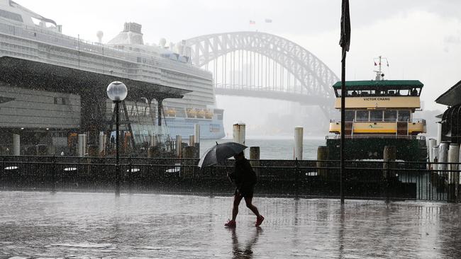
‘Nasty’ thunderstorms are expected to roll into NSW on Tuesday afternoon bringing with them a severe threat of large hailstones across the state, including parts of Greater Sydney.
Communities in the South West Slopes, South East and Tablelands, and Central Ranges are likely to experience heavy rainfall and damaging winds, the Bureau of Meteorology (BOM) has warned.
The ACT is also in the firing line while areas close to the Western Plains and Blue Mountains are on high alert as a trough moves in from the west.
Warm, humid and stormy conditions on Mon through SE Aus - #storms already developing⛈ï¸
— Bureau of Meteorology, Australia (@BOM_au) January 1, 2023
âš ï¸Severe Thunderstorms could produce flash flooding, damaging winds and large to giant hail.#Melbourne and #Hobart may be impacted.
Latest warnings, if required: https://t.co/LzIFIUGewJpic.twitter.com/lZynwr1e9A
“We are expecting thunderstorms throughout NSW and there is potential for severe weather,” BOM meteorologist Helen Reid said.
“All the humidity and a trough coming through from the west (makes) a good opportunity for thunderstorms to develop.
“It could be anywhere from the Lower Western, South West districts, South East, eastern parts of Riverina, South West Slopes and Tablelands and ACT.
“That’s where we’re more likely to see some nasty thunderstorms throughout the day.”
The changes are anticipated to occur from midafternoon on Tuesday as the trough jumps over the Victorian border.
Although most of the east coast from Sydney to the north remains safe, residents in the Blue Mountains are “likely” to cop the brunt of the storms, including “large hail”, as they potentially “drift to the western suburbs”.
Ms Reid said the Bureau was “paying most attention” to the regions, but predictions could change as the day continues to heat up.
“There’s been large hail reported in north westerns Melbourne and Tasmania (and) we’ve got the same sort of atmosphere above us, so we can expect those same conditions,” she said.
“We need the heat of the daytime to get these storms developing.”
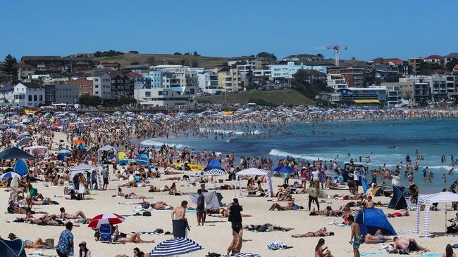
The significant shift in weather will bring slightly cooler temperatures in the low 20s across the state, including Sydney, from Wednesday and Thursday.


‘Now’s the time’: Barnaby goes on attack over net zero
Barnaby Joyce has come out in full-throated defence of his move to break with the Coalition’s platform and push to discuss dumping net zero targets, saying now is the time for the “vitally important” debate.

‘Going to get a knife’: Man’s alleged threats towards cops
Police allege a Mid-North Coast man with epilepsy and a psychotic disorder threatened to get a knife and hovered near an axe in a display a magistrate described as “siege mentality”.