
NSW weather: Sydney’s coldest day in 37 years with snow across state
Parts of Sydney have been blanketed in snow as a blast of polar air delivered icy temperatures across NSW - with more to come.
NSW
Don't miss out on the headlines from NSW. Followed categories will be added to My News.
Sydney has shivered through its coldest day in 37 years, with bitter temperatures and widespread snowfall across the state on Thursday.
The blustery Antarctic blast hit the whole state, with Sydney reaching a maximum of just 10.3C — its coldest day on record since July 1984 — and Orange failing to rise above 1.2C all day.
Penrith Lakes had it’s coldest day in 12 years with a maximum of 8.3C, the previous record being 11.2C in July 2009 and Tamworth reached a maximum of 6.9C, the coldest day on record since June 1998.

Parts of NSW’s central west including Bathurst, Orange and Oberon woke to a blanket of snow on Thursday morning as a blast of polar air delivered bracing temperatures.
Big beautiful flakes coming down in Katoomba x#katoomba#snow#bluemountainspic.twitter.com/zyVyOMCMNJ
— Bonnie Wildie (@BonnieWildie) June 9, 2021

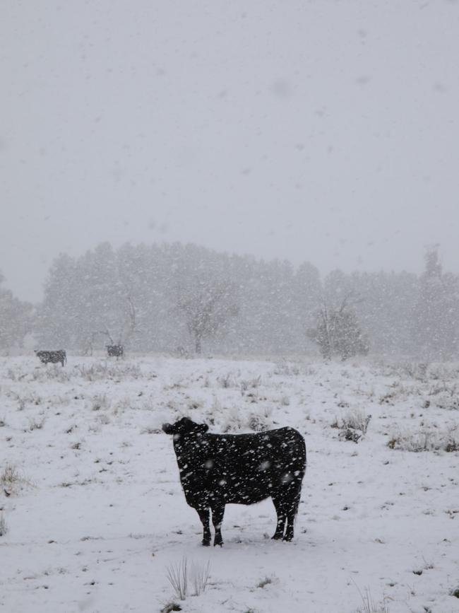
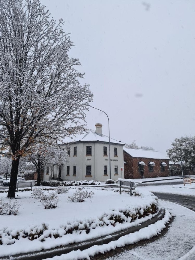
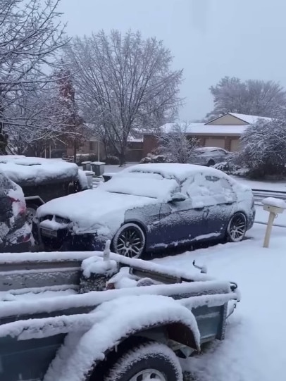
In the past 24 hours, snow has also fallen in Bombala, Nimmitabel, Cooma, Jindabyne, Millthorpe, Lithgow, Katoomba, Blackheath, Glen Innes and Guyra.
“Recorded at 8am today, Orange had received 1cm of snow and there was even snow on roofs at Inverell,” BOM forecaster Abrar Shabren.
“Also this morning Perisher recorded 50cm of snow.”
â„ï¸ðŸ¥¶ Temperatures in many places in NSW & Qld were 4-8 °C below average overnight and widespread #snow has been observed in the NSW Ranges including #Bathurst, #OrangeNSW, #Blayney, #Oberon, and #Blackheath. For the latest weather warnings: https://t.co/dpDEpxHJ1npic.twitter.com/u5e8nZ7XHs
— Bureau of Meteorology, Australia (@BOM_au) June 10, 2021
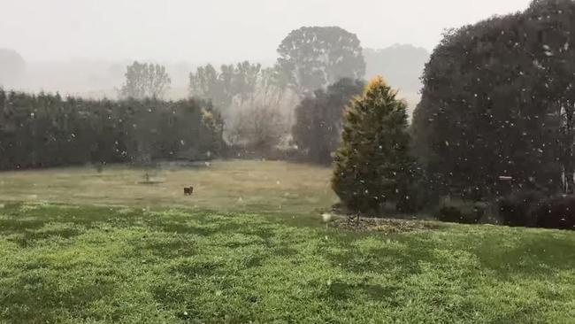
Sky News Weather said snow was expected to increase across northern NSW on Thursday and continue on the central ranges until early Friday.
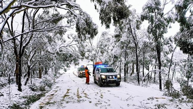
Motorists are urged to check road closures on Live Traffic NSW and drive appropriately for the conditions, with ice and poor visibility affecting roads, especially in the central west and alpine regions, which received more than a half a metre dumping of snow overnight.
The Bureau of Meteorology has warned the cold temperatures, showers and strong south-westerly winds will continue on Friday.
The cold snap is due to a pool of cold air direct from Antarctica.
NSW and the ACT are expected to experience a significant drop in temperatures over several days, with some areas expected to be more than 10C below average.
Up to 20mm of snow was predicted to fall over areas that may only get a dusting once every few years.
The cold front stretches north beyond the state border, meaning Queensland too will shiver through a series of cold mornings.
More Coverage
Join the conversation

INXS crowned with hottest Aussie song of all time
INXS’ Never Tear Us Apart has been voted the hottest Australian song ever by Triple J listeners, topping a special Hottest 100 that spanned five decades of homegrown hits - from Cold Chisel, The Veronicas and Kylie to Gang of Youths and Gotye.
Read more

‘We want answers’: Young dancer dies hours after hospital release
Layla-Maria Grubb’s devastated family are trying to piece together exactly what happened in the last few hours of her life, after she was tragically found unresponsive at home last Saturday afternoon.
Read more