
NSW map pinpoints confirmed COVID-19 cases
As the NSW coronavirus cases continue to rise, a heat map has been created to pinpoint exactly what suburbs sick residents reside.
NSW
Don't miss out on the headlines from NSW. Followed categories will be added to My News.
As the NSW coronavirus cases continue to rise, a heat map has been created to pinpoint exactly what suburbs sick residents reside.
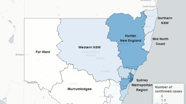
South Eastern Sydney has the most confirmed cases of COVID-19 between 161-320, followed by between 161-320 cases in South Eastern Sydney, and between 81-160 cases in Northern Sydney.
Both Western, South Western Sydney and the Hunter New England region have between 41-80 cases each.
The latest data dump comes as NSW Health and the Australian Border Force point fingers about who is responsible for why the Ruby Princess cruise ship was allowed to unload passengers earlier this week.
About 2,700 passengers walked freely off the ship before around 100 people from the boat tested positive to the deadly virus.
The latest figures, provided by NSW Health, show that there are now more than 1,000 cases of coronavirus across the state.
COVID-19 HIBERNATION: CLICK HERE FOR THE ULTIMATE GUIDE TO DAILY LIFE
The majority of these cases are concentrated in metropolitan areas before the numbers sharply decline in regional locations.
In the Illawarra Shoalhaven region, the Nepean and Blue Mountains region and the Central Coast there are between 21-40 confirmed cases.
While in Mid North Coast, northern NSW and Western NSW cases drop between 21-40.