
Coffs Harbour’s flood warning system to be upgraded
New warning gear will be installed across Coffs Harbour to help safeguard the city after record floods smashed northern NSW last year. Here’s what we know.

Coffs Harbour
Don't miss out on the headlines from Coffs Harbour. Followed categories will be added to My News.
New flood level and rainfall gauges will be installed across Coffs Harbour to help safeguard the city after record floods smashed northern NSW last year.
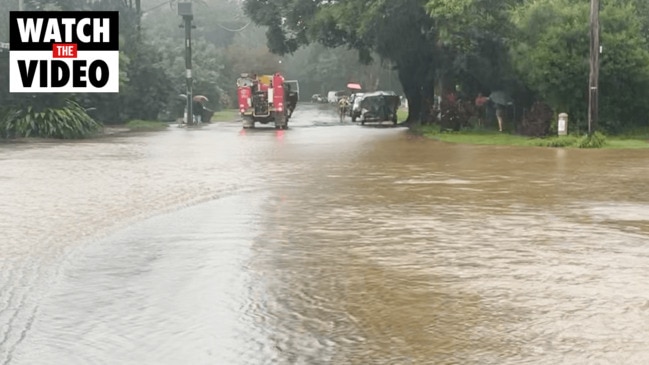
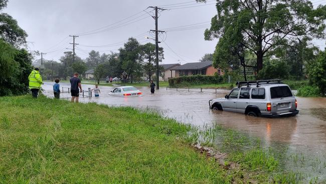
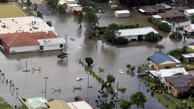
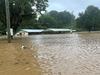
Many cities and towns across northern NSW were underprepared for last year’s crippling natural disasters
Coffs Harbour City Council will increase flood warning capability in the area by way of the $177,150 project rolling out as part of the NSW government’s Disaster Risk Reduction Fund.
Emergency Services Minister Stephanie Cooke said: “The data collected by these gauges will alert council, our emergency services organisations and the wider community to rain-related risks.”
Coffs Harbour MP Gurmesh Singh said reducing the risk posed by natural disasters, including flooding, was a shared responsibility.
“The installation of flood level and rainfall gauges across Coffs Harbour will build on the existing flood warning system to keep our community safer and stronger into the future,’ he said.
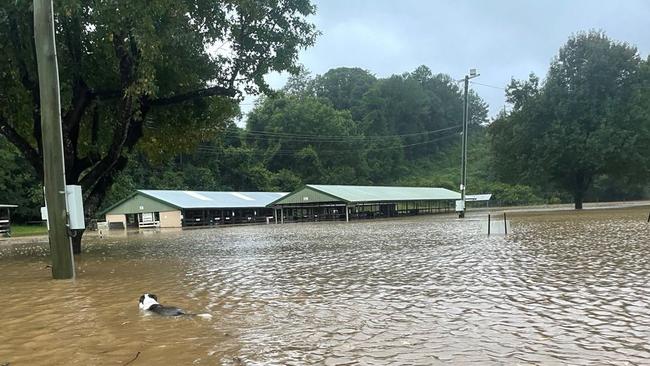
Last March, Coffs Harbour recorded a remarkable 729.8mm of rain according to the Bureau of Meteorology (BOM).
Coffs Harbour and Dorrigo were focus points as rain hammered the region.
Major flooding occurred along the Bellinger River at Thora and Bellingen with minor flooding at Repton and Urunga.
Multiple evacuation warnings and orders were issued by the State Emergency Service including for parts of Yellow Rock, North Macksville, North Bellingen, East Bellingen, Urunga, Newry Island, Lower Macleay, Mylestom, Sawtell and the Bellinger River Tourist Park.
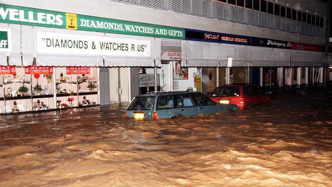
Coffs Harbour has a long history of flooding – with significant events occurring in 1917, 1938, 1950, 1963, 1974, 1977, 1989, 1991, 1996 and 2009.
In 1996, the town was declared a natural disaster when it experienced major flash flooding.
The flood caused about 300 people to evacuate the area as 250 residential properties and 210 commercial or public properties were affected.
In 2009, a storm saw Coffs Creek peak at 5.14m resulting in flash flooding in the Coffs Harbour CBD and surrounding streets.
About 800 people evacuated the town and the disaster caused more than $40 million in damage, according to The Insurance Council of Australia.
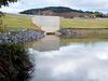
The Flood Mitigation program was created, which included four basins to funnel water away from the town and creeks. It was constructed between 2010 and 2018.
An initial flood warning system – directly linked to the Bureau of Meteorology and the SES was also developed for early flood warning and prevention.
Last February, heading into the flood disasters, the NSW Government announced the council had been successful in winning another $2 million of further funding.
The funding includes a new basin at North Boambee Valley, a flood study into Moonee Creek and an upgrade to the existing flood warning system.

Conflicting claims after ex-corrections officer allegedly stabs man
A magistrate has heard a former corrections officer told cops she intended to “kill” a man by allegedly stabbing him in the neck, but the alleged victim claims he “tripped and fell” onto the blade.

Women at centre of home birth death case front court
Two allegedly unqualified ‘birthkeepers’ charged with manslaughter after the death of a baby boy on the Mid-North Coast after a breech delivery went horrifically wrong have fronted court.