Cold snap: Icy blast dumps snow in Central Tablelands, Blue Mountains
Ten days out from spring and NSW is shivering through an icy weekend, with a cold front bringing wind storms, heavy rain and a dumping of snow on Saturday — tipped to be the coldest day of the year.

NSW
Don't miss out on the headlines from NSW. Followed categories will be added to My News.
- Teens praised for disarming ‘gun-wielding’ man at pizza shop
- Judges cover up to hide from COVID threat
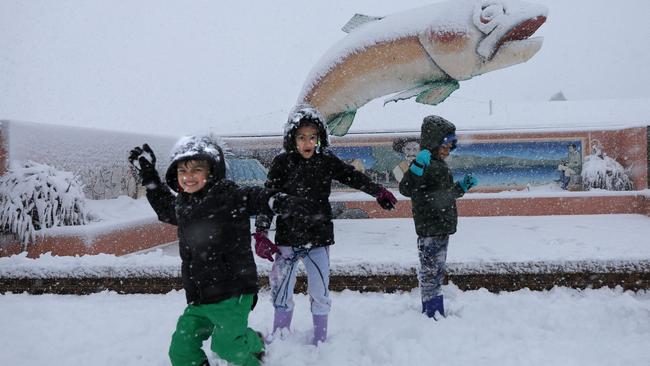
Snow and strong winds have lashed parts of the state and Sydney’s frigid weather will stick around for the rest of the weekend.
A vigorous cold front moving across the state this weekend saw the mercury plunge to 2.4C at Campbelltown in Sydney’s southwest on Friday night, while the city registered 9.5C.
Stiff winds and dry air are making conditions feel colder than the thermometer suggests, which is unlikely to change before late Sunday.
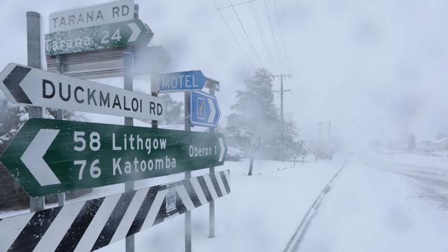
Snow and ice caused road closures and traffic delays on the Great Western Hwy west of in Bathurst and in the Blue Mountains, with dangerous conditions leading authorities to urge motorists to avoid non-essential travel.
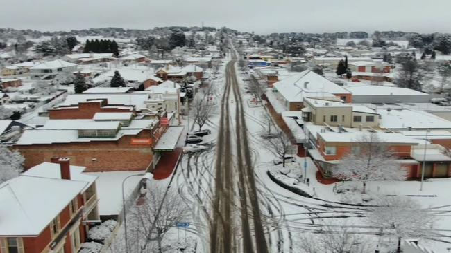

Towns in southern and central NSW had dustings of snow, including Orange, Oberon, Blackheath, Lithgow, Guyra, Walcha and the higher suburbs of Canberra.
Ski field Perisher picked up 30cm of snow on Friday night, on top of a metre that fell steadily all week.
🚨Dump Alert🚨 Another 25cm of fresh snow & our storm total has measured in this morning at a whopping 66cm. â„ï¸ Further blizzard conditions are expected today 🌨💨 pic.twitter.com/cYWFTqj61p
— Perisher (@PerisherResort) August 21, 2020
“The wind will persist into (Sunday) morning and the wind-chill factor will be significant,” Bureau of Meteorology meteorologist Rebecca Boettger said.
“Sydney won’t see anything in the way of the rain this weekend but the air mass is really dry, which makes it feel colder than it actually is.”

It will be a cold and windy weekend for many parts of NSW. Some winds could be strong enough to bring down trees and powerlines. Watch our video to see how your area could be impacted by #snow and winds as a cold front moves through NSW. #NSWweather @NSWSES pic.twitter.com/CxybszBwc6
— Bureau of Meteorology, New South Wales (@BOM_NSW) August 21, 2020
From Monday a high pressure system will bring dry and clear days. Daytime temperatures will slowly climb but the system will also bring cooler nights.
Sydney’s forecast maximum temperatures for next week are 17C on Sunday, 18C on Monday, 17C on Tuesday, 17C on Wednesday, 19C on Thursday and 22C on Friday.