
Rain clearing but more flood warnings across NSW as cold Spring continues
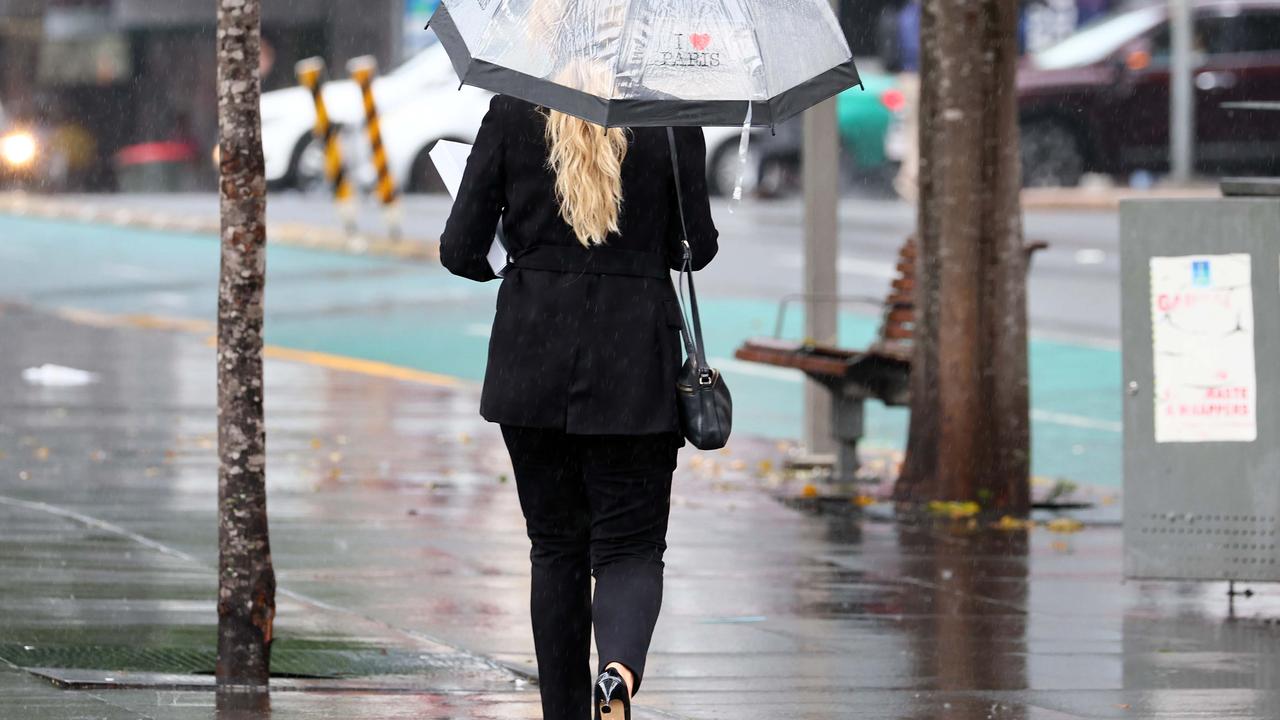
Easing rain is forecast for the coming week, but further flood warnings are expected as saturated areas deal with the aftermath of rapid rainfall.
Weather
Don't miss out on the headlines from Weather. Followed categories will be added to My News.
Despite forecasts of clearing rain over the next week, residents in flooded areas are urged to stay vigilant among increasing flood warnings.
Here’s what the nation can expect weather-wise over the coming days.
NSW
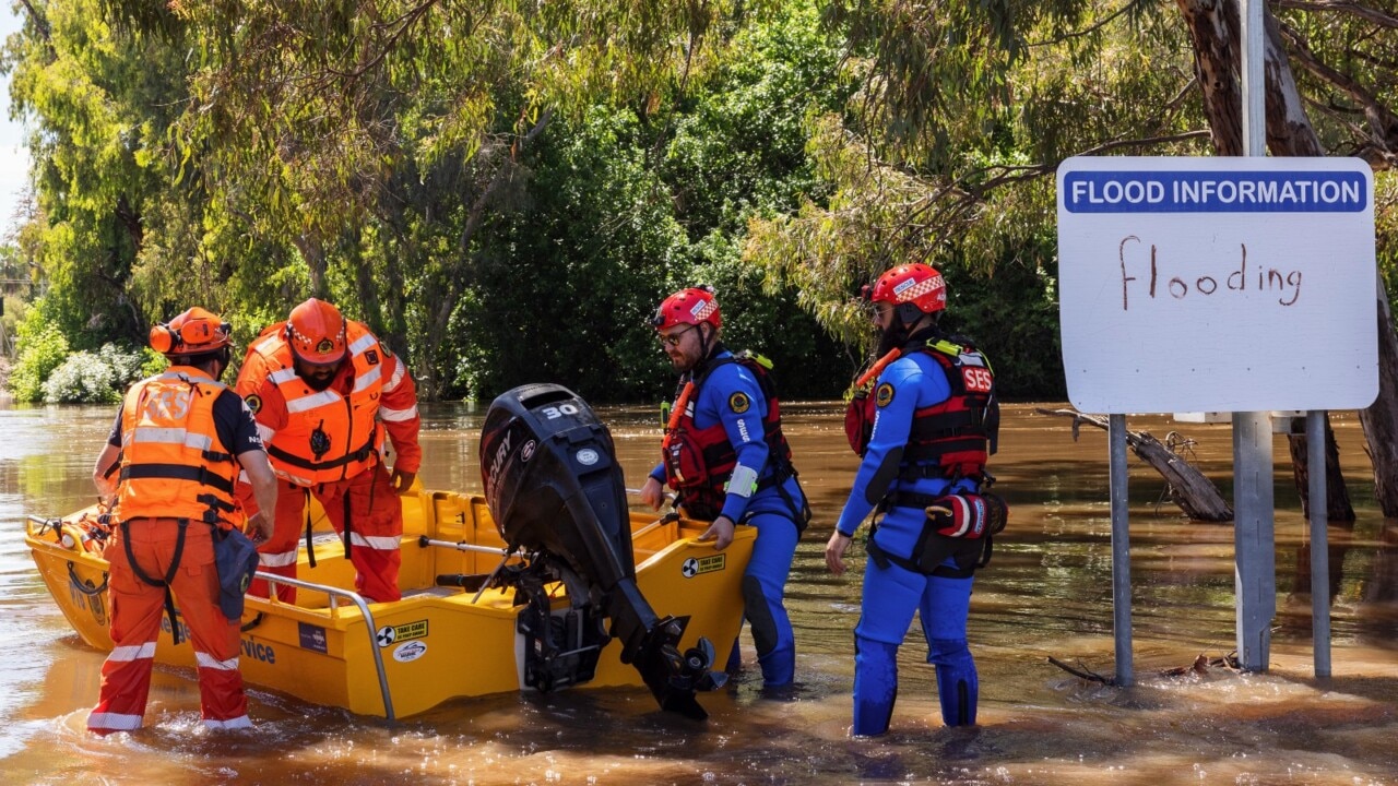
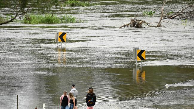
On Thursday, the Bureau of Meteorology issued a major flood warning for the Murrumbidgee region, and possible major flooding in Wagga Wagga overnight going into Friday.
As moderate flooding continues along the Tumut River, it has combined with spills from the Burrinjuck Dam, causing major flooding at Gundagai.
The river level has now peaked higher than the floods of April 1989.
âš ï¸UPDATE: MAJOR #Flood Warning for the #Murrumbidgee, with MAJOR FLOODING possible at #WaggaWagga overnight Thursday into Friday.
— Bureau of Meteorology, New South Wales (@BOM_NSW) November 3, 2022
See https://t.co/vNN29dDFQT for details and updates; follow advice from @NSWSES#NSWFloodspic.twitter.com/38ZxvQ8Vms
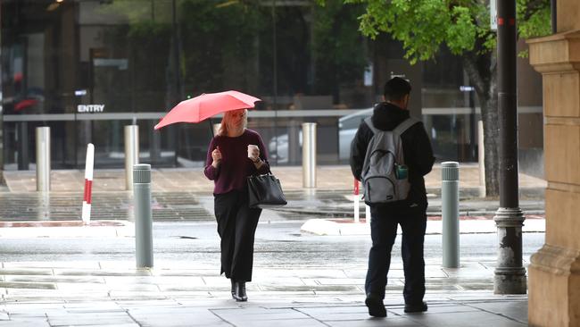
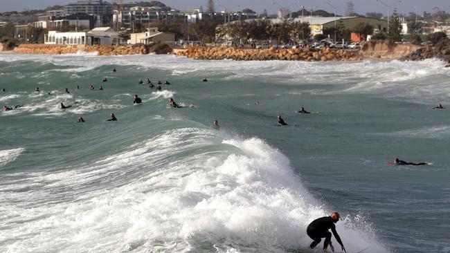
In Sydney, showers are clearing up until Sunday, with an average maximum temperature of 23.
However, there is a small chance up to 0.4mm could fall on Monday and Tuesday next week.
On Saturday, there’s a chance of thunderstorms along the northern ranges going into Sunday around the central and northern inland.
The Bureau continues to update flood warnings, and those in the flood lines can find out more here.
Victoria
On Tuesday, Melbourne reached a maximum temperature of 13.3 degrees, making it the second coldest Melbourne Cup day on record, with 2.4mm of rain.
But a much-needed break from the rain is coming for the Victorian capital, with only a slight chance of rainfall from Sunday to Wednesday.
The week’s maximum temperatures are nestled in the comfortable 22-29 degree range.
There is a 50 per cent chance of up to 3mm of rain on Thursday, as winds pick up bringing a cooler maximum temperature of 26.
There’ll likely still be patchy morning fog across the south east all week.
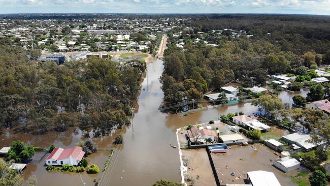
The Bureau has warned of major flooding similar to the 1975 flood level at Swan Hill, which could possibly exceed historic levels at Barham, Wakool Junction, Boundary Bend, Mildura and Wentworth.
Moderate flooding in Tocumwal can be expected as flows from the Kiewa River cause flooding in Yarrawonga.
Flooding in Echuca and Moama are expected to continue into next week.
Queensland
Brisbane could see small amounts of rain going into next week, as the week’s temperature stays consistent around the 25 degree mark.
Saturday will see a 60 per cent chance of up to 1mm, a pattern which will continue through to Wednesday next week.
Isolated showers and thunderstorms are expected over the Cape York Peninsula and the Gulf Country across the week.
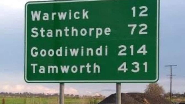
Another major flood warning was issued at Goondiwindi for Thursday evening, with up to 9m likely to flow.
As heavy rainfall continued into Monday and Tuesday earlier this week, river levels have risen along the Dumaresq and Upper Macintyre rivers, pushing floodwaters through lower reaches of the Weir River catchment where flooding is occurring.
South Australia
As rain eases throughout the week for Adelaide, along with the rest of the country, the southern state is in for a treat this coming week.
The chance of rain will drop from 5 per cent down to 0 on Saturday, only reaching a maximum 30 per cent chance of up to 0.4mm on Tuesday next week.
The weekend will bring some much needed warmth before reaching a maximum 31 degrees next Tuesday.
Southern agricultural regions could experience rain on Monday.
The short drought, however, will likely break on Wednesday, with 70 per cent chance of up to 5mm falling and the chance of a thunderstorm later in the day.
Western Australia
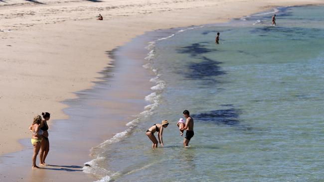
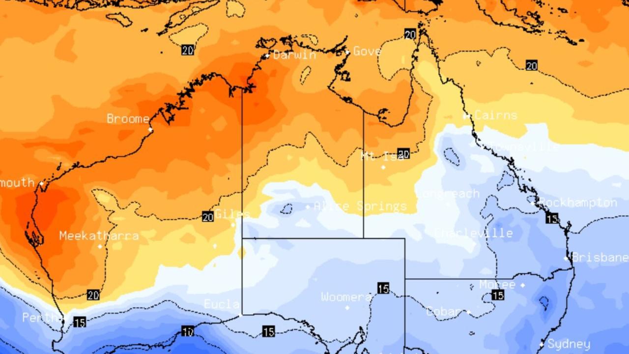
Unlike the rest of the country, Perth’s already higher temperatures will take a dip earlier than other major cities.
After a spike from 24 degrees up to 28 degrees on the weekend, next week will start at a comfortable 22 degrees, only increasing to 23 degrees on Wednesday.
Friday will likely see evening thunderstorms across eastern parts of the South East coastal district and southern Goldfields.
There’ll likely be no rain across the WA capital over the weekend, but chances will increase as early as Monday, with a 20 per cent chance of rain.
However, the north and east Kimberley will see showers and thunderstorms over the weekend.
Originally published as Rain clearing but more flood warnings across NSW as cold Spring continues
Week-long rain bomb to unleash on state
Aussies in one state are being warned to brace for up to a week of wet and gloomy weather.
East coast to cop more showers
With winter just weeks away Aussies are still basking in warm and sunny conditions, unless you are on the east coast.