
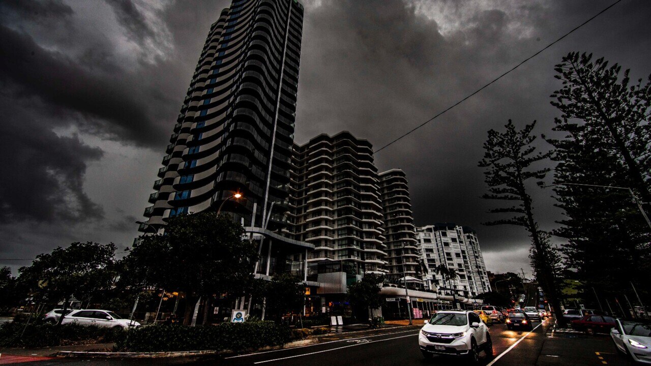
Fears more heavy rain could cause renewed flooding in parts of Queensland
Already saturated parts of Queensland have been warned to brace for more potential flooding as a ‘rare’ weather event approaches.
Weather
Don't miss out on the headlines from Weather. Followed categories will be added to My News.
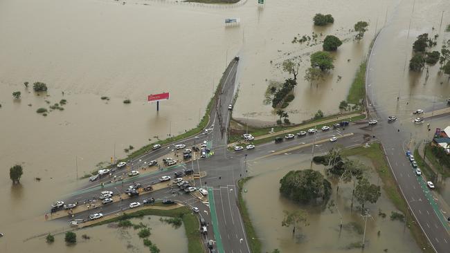
There are fears already soaked parts of Queensland could be hit with more damaging flooding as a rare rain event threatens communities in the state’s far north and outback.
The Bureau of Meteorology has forecasted up to 250mm could fall on parts of north Queensland over the next five days, prompting Premier Annastacia Palaszczuk to warn communities to prepare.
“It is very unusual to see this type of situation occurring in far north Queensland, especially this time of year which is usually near the end of the season and we are expecting higher rainfall totals than we’ve seen in May before,” she said.
“We do not expect this severe weather to be as intense in south east Queensland so that is a relief, however we will be monitoring it very carefully.”
Townsville, Ingham, Longreach, Winton, Windhora, Rockhampton, Yeppoon and Gladstone could be the worst hit, Ms Palaszczuk said.
Meteorologist David Grant said the worst of the falls will come early next week, with Tuesday expected to receive the heaviest rain.
“This rain event is going to impact many areas of Queensland that received recent rainfall across northern and western Queensland,” he said.
“Localised flash flooding will become a risk.
“A flood watch will be considered for numerous catchments.”
Mr Grant said heavy May rain such as that forecast was not unheard of, but it was rare.
“For a lot of locations in the western and northern parts of the state, the average rainfall for May is around 10 to 20mm,” he said.
“So to receive a 100 to 200mm rainfall event in May is not unheard of, but it is very rare for a lot of these locations.”
Off the back of the La Niña and a potentially negative Indian Ocean Dipole, Mr Grant said higher than normal rainfall was expected across Australia in winter and spring.
Heavy #rainfall is forecast from Tuesday over widespread areas of northern and eastern #Queensland. Daily rainfall totals of 50-100mm are forecast; some isolated higher falls possible with #thunderstorms.
— Bureau of Meteorology, Australia (@BOM_au) May 6, 2022
Latest forecasts: https://t.co/7tIvWAMn7gpic.twitter.com/08eezXThKu
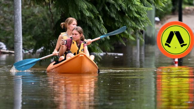
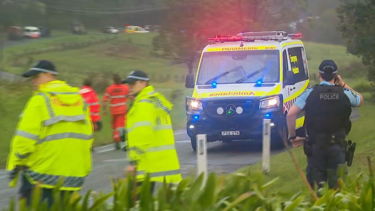
Queensland Police Commissioner Katarina Carroll said 14 people lost their lives during the state’s previous weather event.
“A lot of that was people driving through flood waters or being caught in flood waters obviously rising,” she said.
“So I ask that you prepare now, that you plan your trip and as you’ve already heard, I’ll reiterate that message, please do not drive through floodwaters.”
Authorities have already had to rescue a man who drove through floodwaters in the Sunshine Coast hinterland.
He was trapped in a car near Cookes Rd Bridge about 7pm Friday after a storm dumped 35mm on nearby Conondale and almost 80mm on Maleny.
The bridge was under water, however emergency services were able to rescue the man about 10pm. He required no medical attention.
Originally published as Fears more heavy rain could cause renewed flooding in parts of Queensland

‘Insane’ footage of Qantas landing
Wild footage was captured about 12 hours after Tropical Cyclone Alfred was downgraded to a tropical low.
‘Heroes’: Details emerge about ADF crash
One truck rolled several times into a paddock and another tipped onto its side, attempting to avoid the first vehicle.