
First satellite images reveal Mallacoota bushfire devastation
Never-before-seen satellite photos of Mallacoota and East Gippsland show the full extent of devastation after the New Year bushfires.
National
Don't miss out on the headlines from National. Followed categories will be added to My News.
The true scale of devastation around Mallacoota in East Gippsland can be seen for the first time in never-before-seen satellite images taken just six months apart.
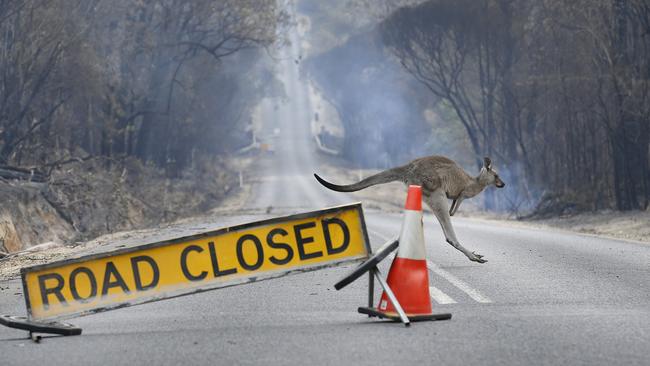
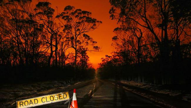
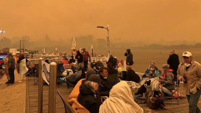
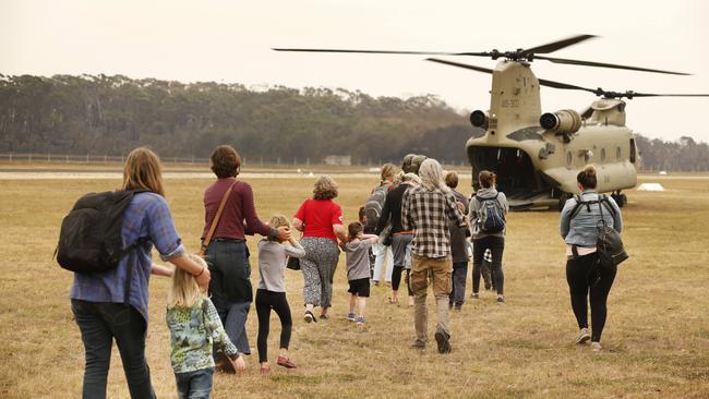
Mallacoota, 520km east of Melbourne near the NSW border, was the scene of a mass evacuation of locals and holiday-makers when the town was surrounded by bushfires in early January.
Hundreds of people sheltered near the water’s edge before being rescued by navy ships and helicopters when the road out was closed to traffic.
These images of Mallacoota were captured by Landsat satellites and exported using Google Earth Engine.
The first image was taken between August 20 and 25. The second between January 24 and 28.
These are among the first satellite images taken of the region that show the full scale of the bushfire disaster.
Google News Lab trends data curator Anna Freeland said: “Many of the images taken of Mallacoota and the broader East Gippsland region in recent months have been obscured by smoke or cloud cover.”
Landsat satellites are jointly administered by NASA and government agency the United States Geological Survey.
The entire surface of the planet is imaged almost every fortnight.
Separate atellite images of the region around Orbost, 372km east of Melbourne, tell the same bleak story.
These pictures cover 2040 square kilometres, from Simpsons Creek in the west to Bemm River in the east and from the coast to 10km north of Club Terrace.
It includes parts of the Snowy River and Errinundra National Parks, as well as the Brodribb and Cabbage Tree Creek Nature Conservation Reserves.
Orbost is the biggest town in the area captured.
These shots were captured by the Sentinel-2 satellite managed by the Copernicus Program, a partnership between the European Commission and the European Space Agency.
Bushfires across Australia’s east coast burned more than 180,000 square kilometres, killed more than 30 people and devastated millions of native animals.
FURTHER READING:
ANDREW RULE SPECIAL REPORT: HOW INFERNO BROUGHT OUT BEST IN MALLACOOTA
Originally published as First satellite images reveal Mallacoota bushfire devastation