State‘s extreme fire risk as cold front bears down
One state has been put on alert for “extreme” fire danger, as a cold front threatens wild storms and damaging winds.

Environment
Don't miss out on the headlines from Environment. Followed categories will be added to My News.
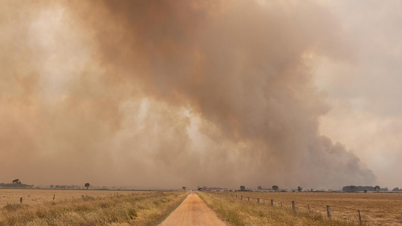
Millions of Australians are being warned to brace for “extreme” bushfire conditions despite a cold front threatening to bring powerful winds and thunderstorms.
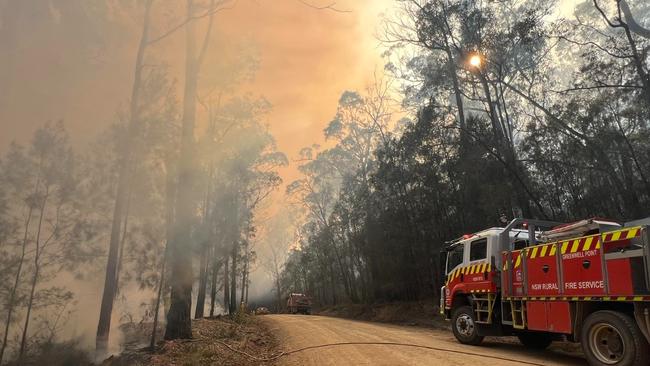
A total fire ban was put in place on Thursday across much of central and eastern NSW, including in the Sydney, Greater Hunter, Central and Western Plains regions.
There are currently about 30 fires burning throughout NSW, with more than 20 spread out across the coastline north of Sydney and as far as Murwillumbah.
NSW RFS co-ordinator Steve McKinnon said the total fire ban was a reminder for residents to remain “vigilant”, and to take necessary precautions.
“It’s a shared responsibility to protect out communities. During total fire bans, its everyone’s responsibility to do their part in preventing fires,” Mr McKinnon said.

A Total Fire Ban will be in place tomorrow for the Greater Hunter, Greater Sydney, Lower Central West Plains, North Western, Northern Slopes & Upper Central West Plains. With hot, dry & windy conditions, high to extreme fire danger is forecast for several areas across the state. pic.twitter.com/o0YnnXUPj6
— NSW RFS (@NSWRFS) October 11, 2023
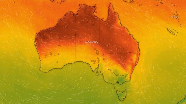
Sydney is forecast to reach a maximum temperature of 32C on Thursday, according to the Bureau of Meteorology, while the state’s south braces for storm conditions.
A cold front sweeping across a number of states could result in “damaging winds” with peak gusts of up to 100km forecast for the Snowy Mountains and surrounds.
The cold front, connected with a low pressure system crossing the Great Australian Bight, also sparked warnings for larges swathes of Victoria, Tasmania, and the ACT.
Elevated areas of Victoria’s Gippsland region were being warned to brace for wind gusts of up to 100km on Thursday morning, including at Mt Hotham resort.
The warnings come as BOM revealed the positive Ocean Dipole continued to strengthen amid “firm indications” of an El Nino state was here to stay.

“Climate models indicate this El Nino is likely to persist until at least the end of February,” The Buyreau of Meterology said in a statement on Tuesday.
“El Nino typically leads to reduced spring and early summer rainfall for eastern Australia, and warmer days for the southern two-thirds of the country.”
Melbourne is forecast reach 18C over the weekend, with conditions easing on Friday in Sydney where the mercury could reach a maximum of 28C on Saturday.
Brisbane is forecast to hit a possible high of 31C on Sunday, while Adelaide is forecast to potentially hit 19C, Hobart a high of 17C, and Canberra a high of 20C.
Perth is also forecast to break the 30C mark with a potential maximum of 33C, while Darwin is forecast to swelter through a maximum of 37C on Saturday.
Originally published as State‘s extreme fire risk as cold front bears down


