
Aeiral images of NQ and FNQ show damage of 2025 flooding event
High-resolution images of flood-ravaged North Queensland show just how devastating the natural disaster was. SEE THE PHOTOS.

Townsville
Don't miss out on the headlines from Townsville. Followed categories will be added to My News.
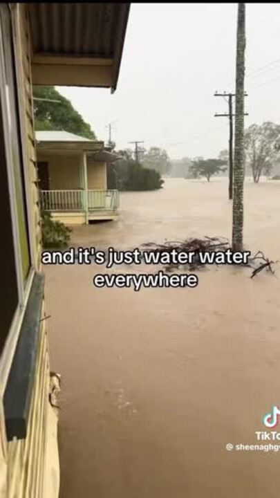
High-resolution images of flood-ravaged North Queensland show just how devastating the natural disaster was.
The images, provided by Nearmap – an Australian location intelligence firm, show areas in the North and Far North Queensland flooded.
Two images, which show Macknade eight months apart, depict water down the streets of the small town in the Hinchinbrook.
Another comparison, from Morleys Rd, Macknade, shows waters circling a house and flooding agricultural paddocks.
The images were captured by an aerial camera system attached to planes that are designed to capture location images.
More Coverage
Originally published as Aeiral images of NQ and FNQ show damage of 2025 flooding event
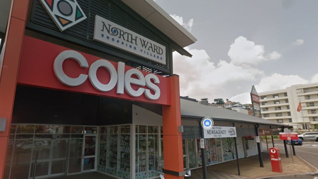
Girl in court after terrifying Coles carjackings
A 16-year-old girl who was trying to steal cars with other juveniles that resulted in a supermarket staff member being stabbed with scissors has been sentenced for the brazen carjacking attempts.
Announce it, and they will come: Mount Isa’s plan to expand
Mount Isa City Council is on a mission to secure their population for another hundred years, and renewables, acid, tourism, ‘Green Gravity’ and prisoners are on their wishlist. FULL REPORT.