
Widespread showers and clouds continue to loom over SEQ
Brisbane and southeast Queensland is copping ‘Melbourne’ weather with a mixed bag of conditions proving annoying. FULL EXPLAINER
QLD weather news
Don't miss out on the headlines from QLD weather news. Followed categories will be added to My News.
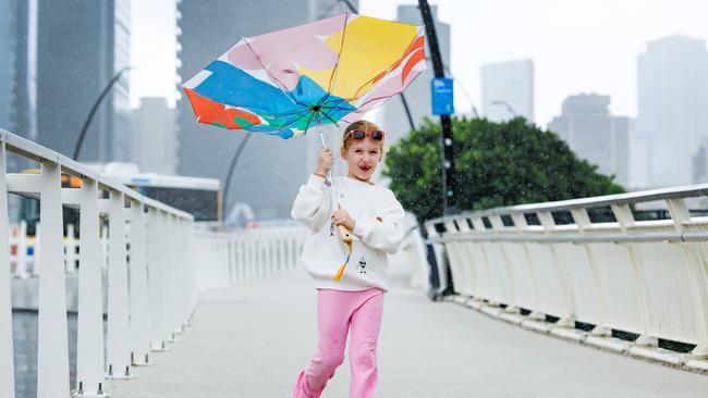
A delayed start to autumn has led to bizarre weather across parts of South East Queensland, with isolated showers set to continue.
The usual cool, dry autumn shift is yet to take place, with widespread showers expected to continue for much of this week and the rain set to peak on Thursday.
A high-pressure system over the Tasman Sea is maintaining a ridge over eastern Queensland, while a trough developing over the central interior on Tuesday is forecast to extend into the southern inland areas by Wednesday.
Brisbane is forecast to reach a high of 25C on Monday – three degrees warmer than Sunday. Warmer conditions are expected again on Tuesday and Wednesday, with temperatures likely to exceed Monday’s maximum.
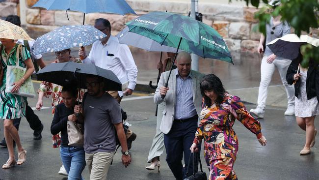
Rain is expected to continue, with parts of southeast Queensland recording between 10mm and 20mm in the past 24 hours, and some areas on the Sunshine Coast notching up to 30mm.
Weather bureau meteorologist Helen Reed said it was unusual to see rain continue after Queensland’s wet season has ended.
“It’s because the ridge of high pressure is still sitting a little bit further south and hasn’t drifted further north to give us the clearer skies and have those winds turn into more of south easterly and those showers to stay off shore,” she said.
“We have seen some shower activity over the last few days, not much into lots of rain gauges.”
The wet season, where parts of the sunshine state experience heavy rainfalls and tropical storms, generally runs from November to March.
Ms Reed said Queensland hasn’t quite shifted into autumn, with the consistency of rainfall and cloud cover continuing.
“We haven’t quite seen the full shift of those autumn systems coming through across the southern part of the continent, which means the ridge of high pressure hasn’t yet shifted north,” she said.

“We might even get 10mm to 15mm (of rain) again on Thursday and then Friday and into the weekend, still just occasional showers coming through. So we are in a fairly stable sort of weather situation with that rainfall just keeping on coming each day.”
SEQ weather forecasts
■ Tuesday, May 13: Partly cloudy. Late shower. SW/SE winds Min - 16. Max - 26.
■ Wednesday, May 14: Mostly sunny. SW/SE winds Min - 16. Max - 26.
■ Thursday, May 15: Mostly cloudy. Possible shower. S’ly winds Min - 16. Max - 25.
■ Friday, May 16: Mostly cloudy. SW/SE winds Min - 15. Max - 25.
■ Saturday, May 17: Partly cloudy. Possible shower. SW/SE winds Min - 16. Max - 24.
■ Sunday, May 18: Mostly cloudy. Showers, mostly later. SW/SE winds Min - 16. Max - 24.
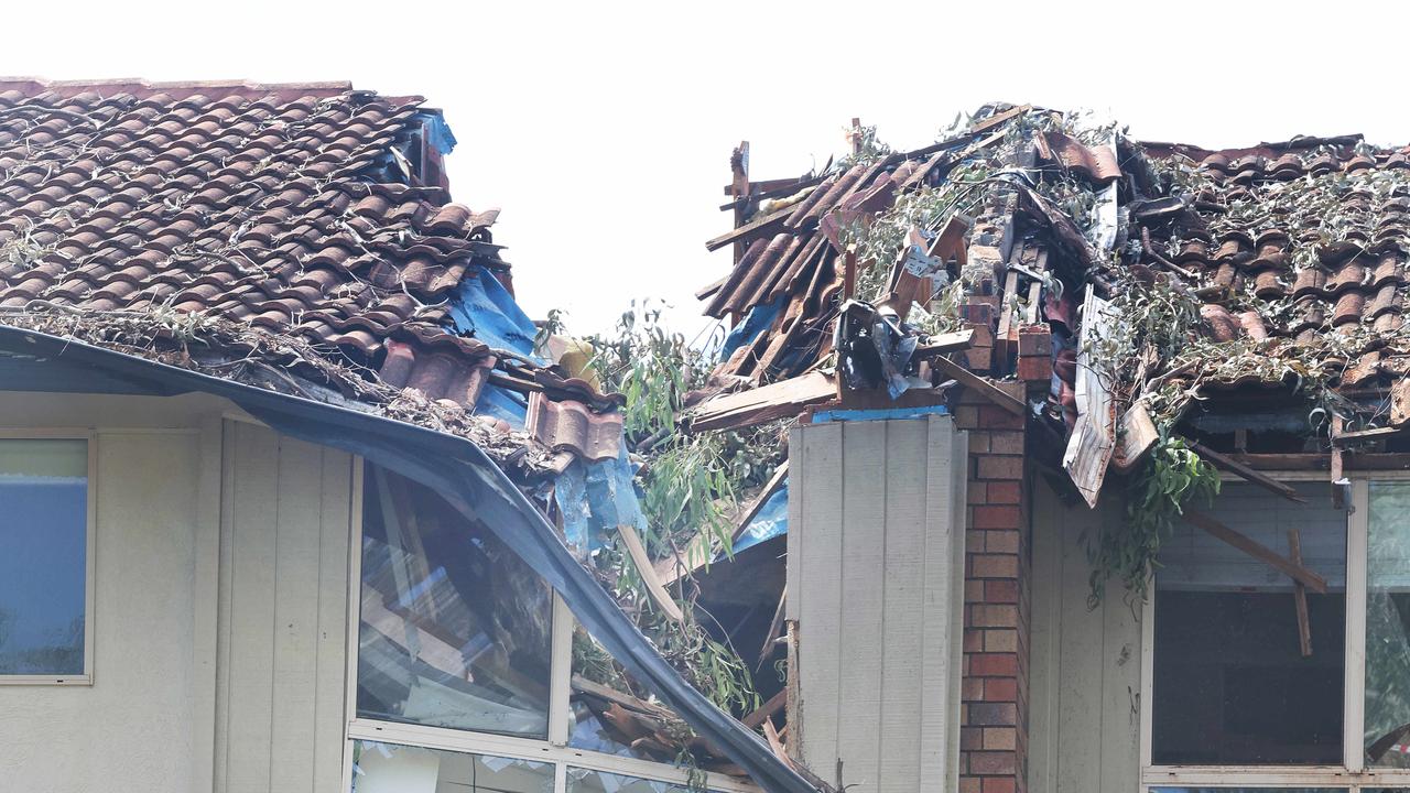
Eye-watering insurance bill after Qld smashed by cyclone, floods
Insured losses have soared to $1.5bn from almost 130,000 claims after Queensland was battered by two major weather events this year.

80kmh gusts: Strong wind warning for southeast
Parts of South East Queensland are being warned to expect strong winds, with gust up to 80km/h possible, as temperatures are set to drop.