
Weather: Temps to drop after ‘warm blanket’ sees mercury spike
While the overnight temperature might have been above average for this time of year don’t expect the balmy weather to last.
QLD weather news
Don't miss out on the headlines from QLD weather news. Followed categories will be added to My News.
South East Queensland temperatures are set to dip again overnight.
According to Bureau of Meteorology forecaster Helen Kirkup Friday night’s cloud cover acted as a “warm blanket” keeping minimums above average but without that cloud cover tonight temperatures are likely to drop.
Brisbane Airport recorded a low of 16.6C overnight, which is about 6C above the June average.
“Today’s forecast across Brisbane is a maximum of 21C, mostly cloudy with a few showers, but should clear off this afternoon,” Ms Kirkup said.
“The showers are due to a trough which will be slowly moving away.
“The daytime temperatures will sort of slowly decline for Sunday and Monday, but other than a few showers forecast Sunday is looking like a reasonably nice and sunny day”.
Brisbane’s low is likely to drop to 10C on Sunday morning, while on the Sunshine Coast it will be just 9C and on the Gold Coast 11C.
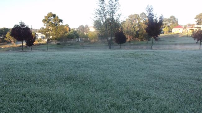
Toowoomba will start off at a freezing 5C on Sunday, while Stanthorpe’s minimum will drop to just 3C.
Ms Kirkup said a wind warning was valid for the coastal waters, however this was mainly for boaties rather than people on the beach.
“Gold Coast Seaway is currently 10km/hour and in the bay is about 25km/hour,” she said.
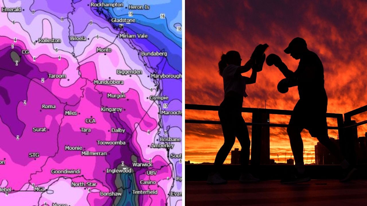
With a cold blast coming through next week Ms Kirkup said snow for Stanthorpe and the Granite Belt isn’t out of the question, however it was highly unlikely.
“It usually takes a particular weather system where you’ve got the rainfall, and really cold air,” she said.

City’s coldest June start in 16 years, feels like MINUS 9.8C out west
Southeast Queensland is shivering through its coldest morning in more than 15 years but feels-like temperatures have dropped to insane levels in the southern inland.
Feels like MINUS 6.5C out west as Brisbane faces brutally cold, windy 24 hours
Residents in parts of southern Queensland have woken to their coldest morning of the year, with temperature dropping below zero in a number of places.