
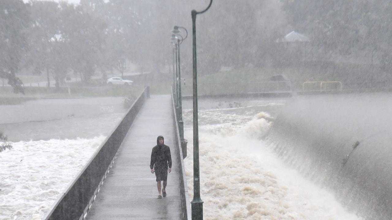
Southeast switches out wet weather for sunshine as storms move to smash other parts of the state
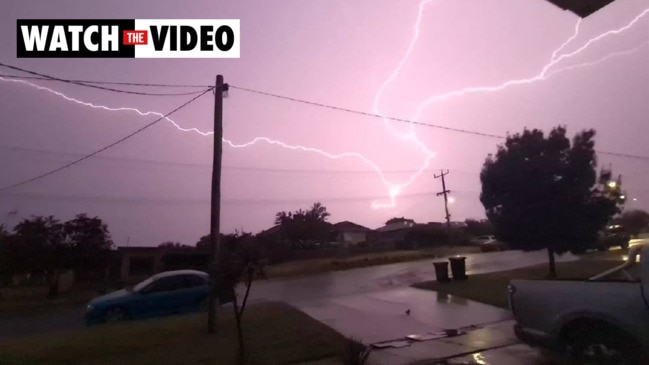
Storms and wet weather are being forecast for large parts of Queensland in coming days, but southeast is expected to catch a break from the worst of it, forecasters say.
QLD weather news
Don't miss out on the headlines from QLD weather news. Followed categories will be added to My News.
The southeast is expected to catch a break from wet weather in the coming days as storms hit elsewhere in the state.
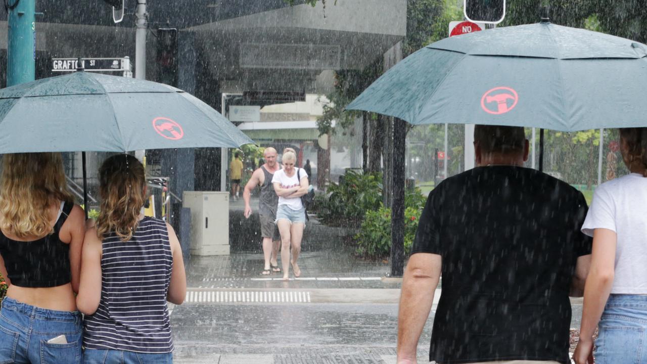
Meteorologists have forecast sunshine into the weekend for the southern corner while showers and thunderstorms move through the state’s north.
Meteorologist Helen Reid said the wet weather could reach as south as Mackay and across to the Gulf Country on Thursday.
“We do have a trough moving in through the west of the state on Friday, so we will pick up a few showers and thunderstorms in the interior,” Ms Reid said.
The areas expected to be impacted include the Central West, Maranoa, Warrego, and Darling Downs regions as well as parts of the Central Highlands and Coalfields.
Ms Reid said Friday was looking clear for the southeast with the exception of some slight fog in the morning.
A late shower could impact parts of the region on Saturday before the chance of showers and storms picks up again on Sunday and into next week.
Dryer air dropped night-time temperatures for the south coast over the past few days and Ms Reid said temperatures would pick up again on Friday.
Temperatures are expected to return to average for February by early next week.
More Coverage


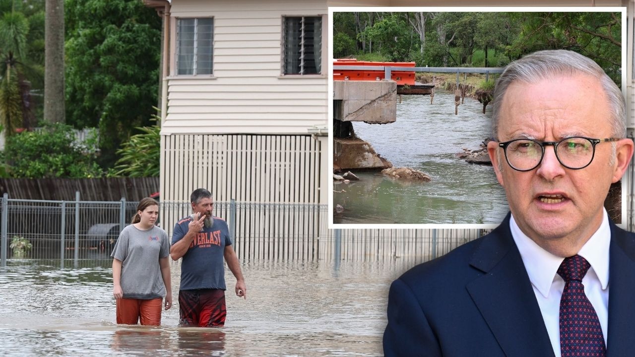
PM slams Bruce Hwy, as military might unleashed on flood clean-up
The Prime Minister hasn’t pulled any punches in his assessment of a critical part of the Bruce Highway as he visits flood-ragaved North Queensland, vowing to provide “whatever support is necessary”.
‘Big impacts’: New 300mm rain bomb, cyclone threat for NQ
Flood-soaked NQ communities have been warned of more heavy rain that could lead to life-threatening flash flooding in coming days – and even the slight chance of a tropical cyclone developing off the coast.