
Showers could dampen Easter plans as wet weather returns to southeast
Showers are expected to return to the southeast on Friday, and meteorologists say the Easter long weekend could see similar wet weather.
QLD weather news
Don't miss out on the headlines from QLD weather news. Followed categories will be added to My News.
Showers are expected to return to South East Queensland on Friday, and forecasters say the Easter long weekend could see similar wet weather.
The Bureau of Meteorology has forecast daily rainfall totals of up to 20mm for the Sunshine Coast, Gold Coast and Brisbane from tomorrow through to Sunday.
The rain should ease early next week but meteorologist Shane Kennedy said the following Easter long weekend might bring a repeat of the wet weather.
“We can just see to that Saturday and at this stage it looks like a similar pattern so we could get some coastal showers around the southeast,” he said.
“It’s not looking like significant rainfall at this stage so it could be pretty similar for the coming Sunday where we see 2mm to 10mm overall.
“It’s a week-and-a-half away still so we will get a better idea as that we get closer.”
Looking at this weekend, Mr Kennedy said showers were expected to come in off the Coast on Friday with a 60 per cent chance of rain in Brisbane, 90 per cent on the Sunshine Coast and 80 per cent on Gold Coast.
There’s similar chances of rain on Saturday with possible storms for the Gold Coast and Sunshine Coast.
“We’re less likely to see storms around the city,” Mr Kennedy said.
“In terms of rainfall, we could see 5mm to 20mm around the Sunshine Coast tomorrow but more likely to be in that 2mm to 10mm range for Brisbane and the Gold Coast.
“It’s a similar story on Saturday as well, it could be quite showery but we’re not expecting any significant rain with more of a focus on the Sunshine Coast.”
Showers and storms have continued to impact the interior south of Longreach and Mr Kennedy said that could continue into the weekend.
Wet weather is also expected to return to the central coast around Mackay on Friday and most of the east coast, down to NSW, could receive 5mm to 15mm on Saturday.
“That’s all being caused by onshore flow increasing due to the Tropical Cyclone Fili combining with quite a strong high-pressure system in the Tasman Sea,” Mr Kennedy said.
“Those combined are really enhancing those winds along the coast.”
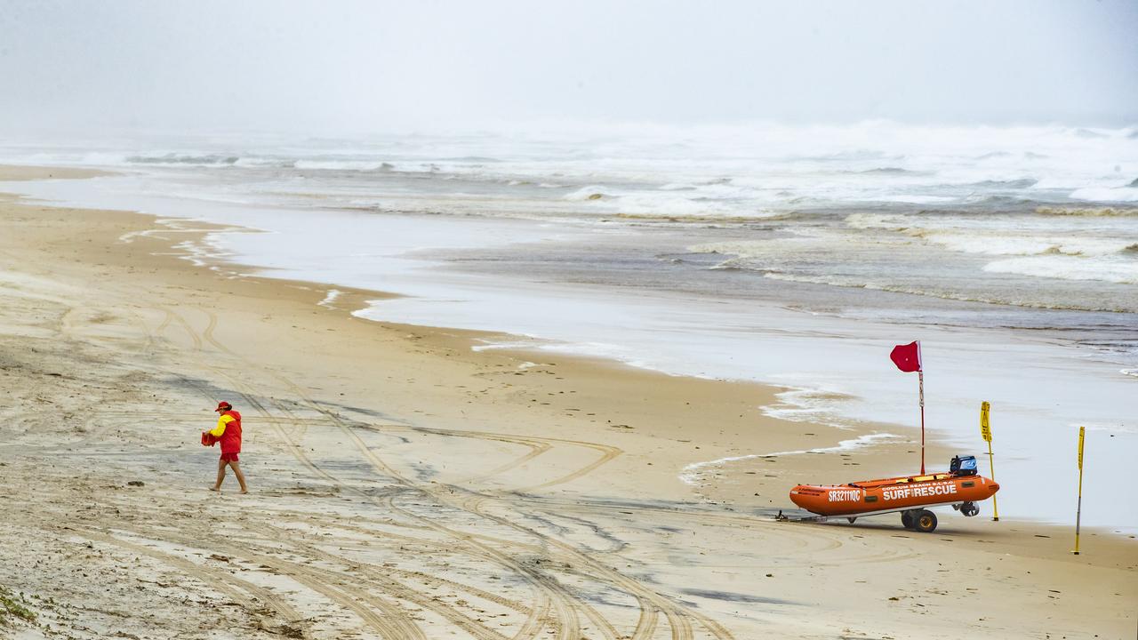
The cyclone is also expected to contribute to rough swell over the weekend with some beach closures on the Sunshine Coast and Stradbroke Island beginning on Thursday.
A hazardous surf warning was issued on Thursday morning for waters along the Sunshine Coast and Gold Coast until midnight Friday.
Surf Life Saving Queensland advised that people should consider staying out of the water and avoid walking near surf-exposed areas.
Mr Kennedy said surf warning could extend to Kgari from Saturday and was likely to continue to Monday.
The long period swell could reach 3m.
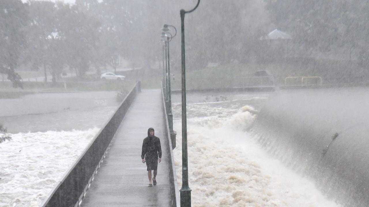
Flood warnings are ongoing for parts of southern Queensland, particularly along the Condamine River, as water makes its way downstream.

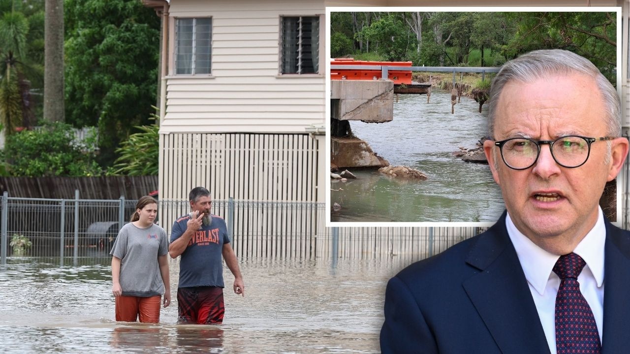
PM slams Bruce Hwy, as military might unleashed on flood clean-up
The Prime Minister hasn’t pulled any punches in his assessment of a critical part of the Bruce Highway as he visits flood-ragaved North Queensland, vowing to provide “whatever support is necessary”.
‘Big impacts’: New 300mm rain bomb, cyclone threat for NQ
Flood-soaked NQ communities have been warned of more heavy rain that could lead to life-threatening flash flooding in coming days – and even the slight chance of a tropical cyclone developing off the coast.