
Severe weather warning: Residents urged to move cars as storms move east
The Bureau of Meteorology has issued a severe thunderstorm warning for parts of Queensland as a band of activity rolling east is likely to bring damaging winds and large hailstones, with the state’s southeast still in the firing line.

QLD weather news
Don't miss out on the headlines from QLD weather news. Followed categories will be added to My News.
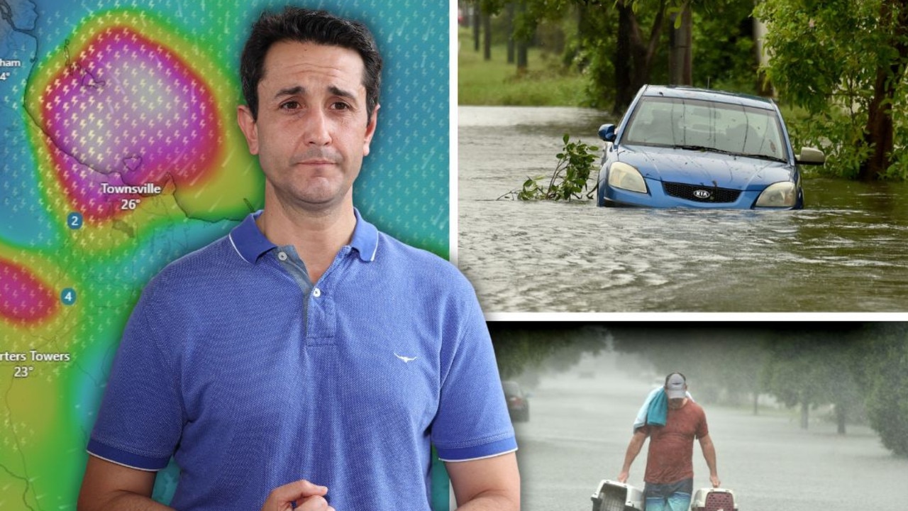
Parts of Queensland are bracing for a drenching as dangerous “supercell” thunderstorms begin to make their way into the nation’s eastern states.
The storm season is set to arrive along Australia’s eastern seaboard from Wednesday, with “giant hail” and destructive wind gusts expected to wreak havoc in northern NSW and southeast Queensland.
It’s expected to be the biggest September rain event in five years with up to 50mm forecast to fall across Tasmania, Victoria, inland NSW and southern Queensland from now until Friday.
The Bureau of Meteorology on Wednesday issued a warning for parts of Queensland as potentially severe thunderstorms rolling east are likely to bring damaging winds and large hailstones.
The bureau warned people in St George, Bollon, Dirranbandi, Hebel and Mungindi should move their cars away from trees and secure loose items as they are likely to be hit hardest by storms stretching from Longreach down to the New South Wales border.
Thunderstorms developed early on Wednesday morning in a moist and unstable airmass east of a surface trough over southern Queensland, with the assistance of an amplifying upper trough.
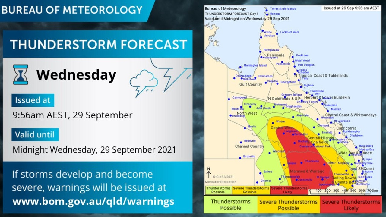
BOM released a map of the waring area on Wednesday morning with meteorologist Helen Reid warning thunderstorms could hit anywhere from Longreach to Goondiwindi.
“The red area of the map could see troubles such as heavy rain but there’s also the potential for damaging wind gusts and large hail,” Ms Reid said.
The weather system is expected to keep moving east, on Thursday reaching South East Queensland where the worst of the weather is expected on Friday.
Up to 40mm of rain could fall on parts of the state across the next few days.
Sky News meteorologist Rob Sharpe said the worst storms would occur in the upper western and the western part of the northwest slopes and plains in NSW, and the Maranoa and Warrego districts in Queensland.
“That’s where we are going to see some of our most dangerous thunderstorms, where we could see a couple of supercell thunderstorms develop which could produce destructive wind gusts and giant hail,” he said on Wednesday morning.
He said there would be the triple threat of damaging winds, heavy rain and large hail all the way down into far southern parts of NSW and the Riverina.
Mr Sharpe said shower and thunderstorm activity would continue across the eastern states on Thursday before more supercell storms hit on Friday.
He said it would be “quite wet” through Victoria and northeast Tasmania on Thursday before southeast Queensland became the “target zone” on Friday.
“On Friday, the rain will pick up especially for the east coast of Tasmania, shower and thunderstorm activity continuing across mainland Australia, especially in southeast Queensland which is looking to be a target zone,” Mr Sharpe said.
“We are likely to see some further supercell thunderstorms developing with destructive gusts and giant hail.”
He said the weather event was likely to be on par with 2016 when there was also an exceptionally wet September across the eastern states.
A warm and sunny weekend is on the cards once the storms move offshore.
Queensland Fire and Emergency Services advises that people should:
* Move your car under cover or away from trees.
* Secure loose outdoor items.
* Seek shelter, preferably indoors and never under trees.
* Avoid using the telephone during a thunderstorm.
* Beware of fallen trees and powerlines.

‘Testing NQ’s resilience’: Life-threatening flood warning, 250mm weekend forecast
Extra swiftwater rescue crews, police and boats are being sent north from SEQ ahead of what the Premier has warned will be another severe weekend of devastation for an already-saturated and “hurting” region.
Airport ‘evacuated’ and shut down amid fresh flood fears
A North Queensland airport has been closed with reports waiting passengers were being evacuated from the building amid flooding concerns as the region is battered by rain.