
Rainfall totals of 400mm+ on cards as severe weather system intensifies
Queenslanders have been warned of potentially “life-threatening” flash flooding, as a severe weather system could potentially dump more than 400mm of rain on some areas, with parts of the southeast recording more than 100mm overnight. FULL FORECAST
QLD weather news
Don't miss out on the headlines from QLD weather news. Followed categories will be added to My News.
Meteorologists say a severe weather system developing along the Queensland coastline has the potential to dump more than 400mm on some areas.
Showers and storms hanging around central and eastern Queensland on Sunday, from the tropical north to the southern border, were just a taste of what’s to come midweek.
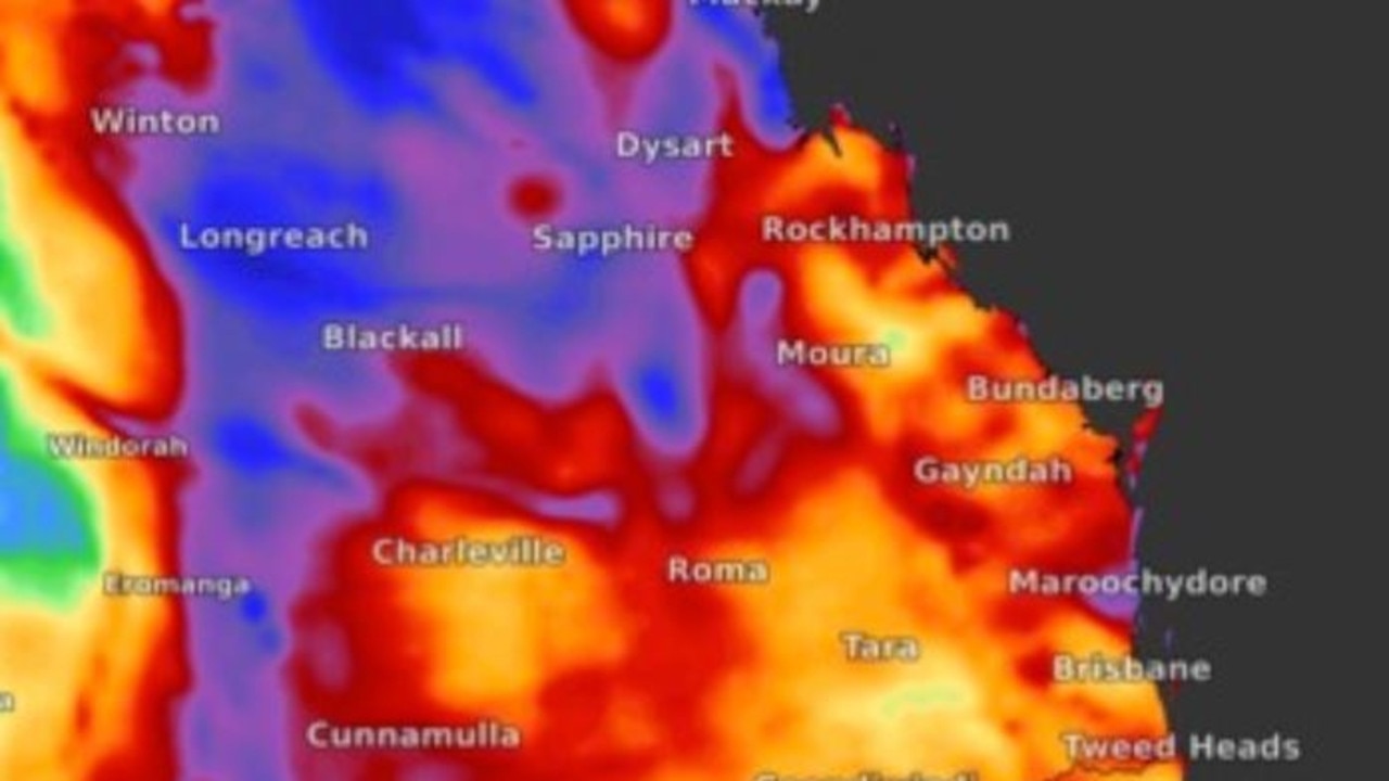
Felim Hanniffy, from the Bureau of Meteorology, said Queenslanders would see the heaviest falls from Tuesday to Thursday with the greatest risk for North Queensland.
“It’s beginning to pick up broadly across the eastern half of the state, particularly up over parts of the central coast and northern interior where we have some storms ongoing so that’s a sign of that moisture beginning to build and filter inland,” Mr Hanniffy said.
“The trough pushes inland on Monday and begins to deepen so it looks like from Tuesday to Thursday for the risk of that very heavy to locally-intense rainfall as well.”
Fellow meteorologist Livio Regano on Monday morning said the “main wave” of rain will hit the southeast between Wednesday and Friday.
“There will be some steady rain from Wednesday with typical daily rainfalls of about 50mm,” he said.
Mr Regano said it is likely there will be several flood warnings issued over the next 48 hours.
He said the highest overnight rainfall “by far” has been Coolum West which received 108mm.
“There is a big cluster around the Sunshine Coast – Brisbane and the Gold Coast have had almost nothing so far but there is still some uncertainty over the next couple of days,” he said.
A major flood warning is in place for the Cooper Creek in Windorah, with possible heavy rainfall from Tuesday potentially leading to renewed river level rises.
Moderate flood warnings are in place for the Thomson River at Camoola Park and the Eyre Creek in Bedourie, while there are minor flood warnings for the Barcoo River in Retreat and the Georgina River in the Marion Downs area.
There are also initial warnings for minor flooding along the Bremer River in Rosewood and the Warrill Creek in Amberley.
Sky News meteorologist Rob Sharpe said the predicted torrential rain could be “life threatening”.
“Some of the worst flooding is going to be in the outback parts of Queensland, but even closer to the coastline we could see some torrential rain at times with life-threatening flash flooding with this event,” he said.
“For Queensland as a whole, I’m thinking it will probably be one of the wettest Mays on record, probably in the top three.”
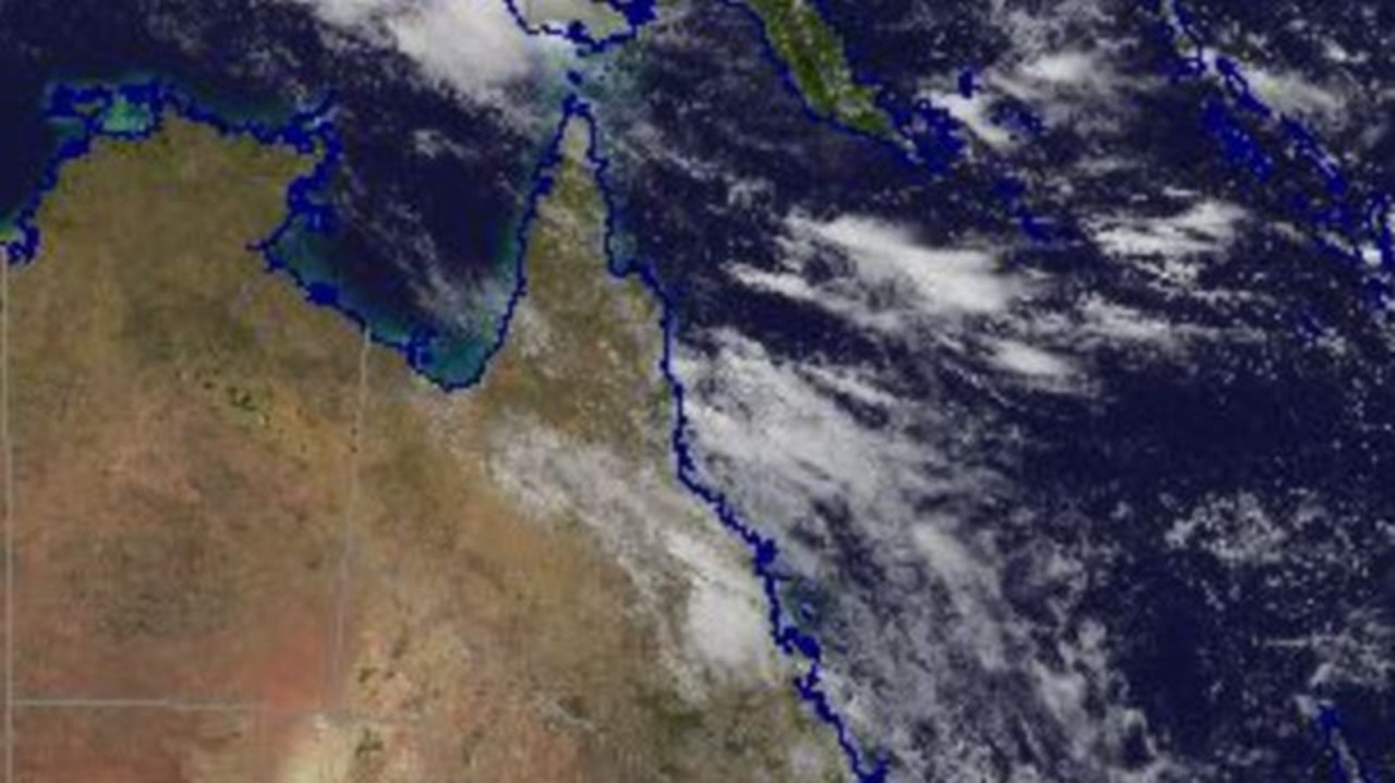
The weather is fuelled by a coastal trough forming around the North Tropical Coast and an inland trough through the interior.
Mr Hanniffy said the system could bring 200-400mm for coastal areas, and potentially more depending on how active the coastal trough becomes.
He said the focus of the activity would be on central parts of the state with a risk of very heavy falls on Tuesday.
Overnight Tuesday and into Wednesday the focus should shift to the Herbert and Lower Burdekin, including Townsville, before moving further south on Wednesday and into Thursday.
The heavy rain is expected to ease on Friday with uncertainty as to how much the system will impact the Wide Bay and southeast Queensland as it moves south.
“Even though the focal point of the heavier rainfall will be further north, it’s likely to be pretty wet across the South East especially up the Sunshine Coast on Monday and Tuesday and then broadly on Wednesday as that system to the north shifts south,” Mr Hanniffy said.
Parts of the South East received falls of up to 60mm on Saturday prompting an initial flood warning for the Logan River and Teviot Brook.
Mr Hanniffy said the minor flooding should ease throughout Sunday.
Queenslanders are in for a wetter-than-average May with showers expected to stick around for a few weeks.
Five-day rainfall forecast
Townsville 171mm-310mm
Hamilton Island 168mm-295mm
Mackay 146mm-320mm
Ingham 177mm-300mm
Barcaldine 90mm-194mm


Monster weather system brings storm, heavy rain to Qld
Brisbane and surrounding parts of the southeast have been hit by storms and heavy rainfall this afternoon as a 3000km-long monster low moves across the state.

Wild storms, polar blast as 3000km monster low barrels towards Qld
The system, which stretches 3000km from north to south and encompasses 30 per cent of Australia, is forecast to pack a punch when it hits Queensland.