Queensland weather outlook: 40C heatwave, more rainfall for SEQ
Part of South East Queensland set for over 20mm of rain while northern Queensland to swelter through a “severe heatwave.”

QLD weather news
Don't miss out on the headlines from QLD weather news. Followed categories will be added to My News.
Parts of Queensland is set to sweat through a severe heatwave of near-40C temperatures in coming days while more rain is on the cards for the southeast.
The weather bureau has warned of possible severe storms in the state’s north west and Channel Country with the risk of locally heavy rainfall, damaging winds and large hail.
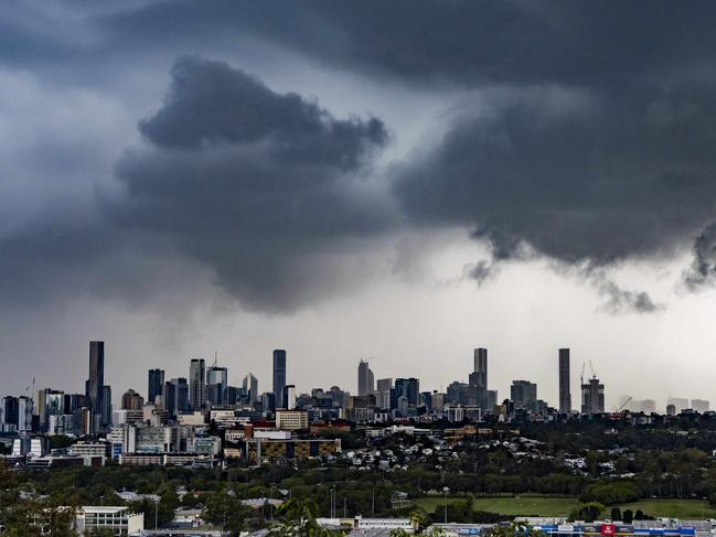
Wet weather is set to continue and move towards SEQ with predictions of 20mm of rain for Saturday.
Bureau of Meteorology’s Morgan Pumpa said there was a 40 per cent chance of showers for the southeast today which was expected to change into the weekend as a low pressure trough moves eastwards.
“By Saturday with some northerly winds we start to see increase in chance of showers and also the amount of possible, 0-15mm on Saturday, and 1-20mm on Sunday for Brisbane,” Ms Pumpa said.
“With scattered to widespread showers with patchy rain and isolated thunderstorms in the north, central and southern interior on Saturday and thunderstorms may be severe in the northern, with locally heavy rainfall possible.

“As a whole for SEQ when looking at some of the amounts as we head towards Gatton we have 1-20mm for Saturday and Sunday. In Maroochydore 0-10mm Saturday and 0-15mm on Sunday,” she said.
The heaviest falls are expected around the Scenic Rim and Darling Downs with the potential for storm activity.
“We do have a chance of thunderstorms on the southeast on Sunday widespread, even on the Saturday as the system starts to move eastwards into parts of the western downs,” Ms Pumpa said.
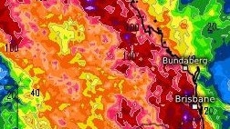
Meanwhile, amateur weather chasers have forecast rainfall totals of up to 175mm to fall in the southeast over the next 14 days,
“The Australian monsoon will develop and along with it, one or maybe two tropical low-pressure systems and an increase in tropical moisture almost throughout the country,” Tim’s Severe Weather predicted.
Parts of northern Queensland are set to swelter with “severe heatwave” conditions of nearly 40C expected from Friday for parts of northern Queensland.
Outback towns of Longreach, Hughenden and Kowanyama have reached 38C today.
Severe heatwave conditions persisting in parts of the Peninsula while easing from the North Tropical Coast and Tablelands on Saturday.
“We have the onshore airflow and are making things not as hot here in south east. We do have severe heatwave conditions for peninsula district and north tropical coast and tablelands that are starting to see severe heatwave conditions,” Ms Pumpa said.


