Queensland weather: Central Qld facing 200mm deluge after flash flooding in southwest
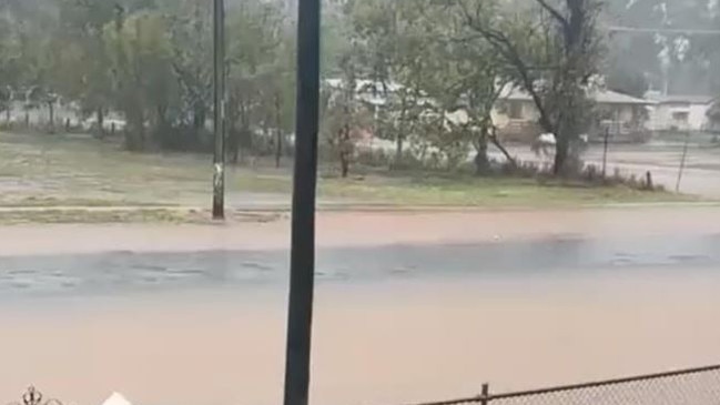
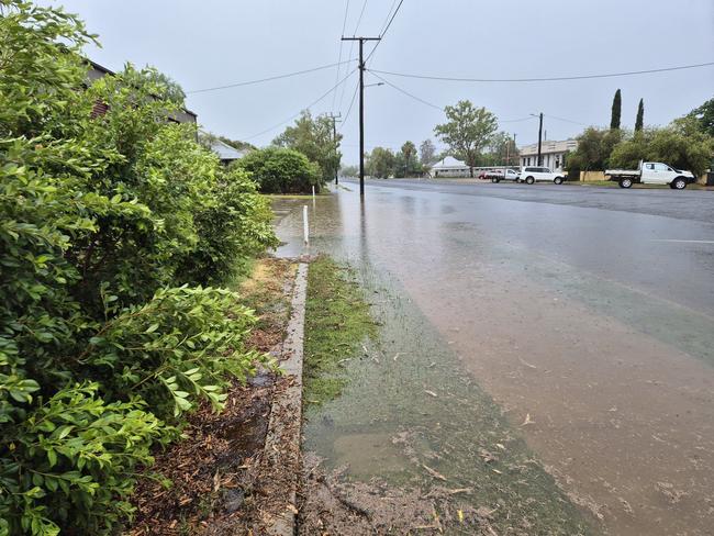
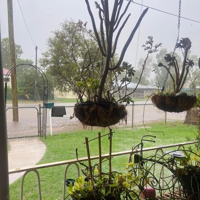
Shocked locals have described a torrential downpour that flooded outback Queensland as the “whole of November’s rainfall in just one hour”.
QLD weather news
Don't miss out on the headlines from QLD weather news. Followed categories will be added to My News.
Shocked locals have described a torrential downpour that flooded outback Queensland as the “whole of November’s rainfall in just one hour”.
Many regional areas were hit with unprecedented rain, with floodwaters cutting off towns, farms and roads.
Charleville is reeling after being hit with 153mm in just two hours, with it being described as a “one-in-50-year” flooding event.
Brian McLean, who has lived in the town for three years, said he was stunned by the downpour.
“Because it hasn’t rained for so long here, all of the gutters were clogged with debris, so automatically all the roads just went under,” he said.
“When I stepped out past the gutter out the front of my house, the water came up to my knees.
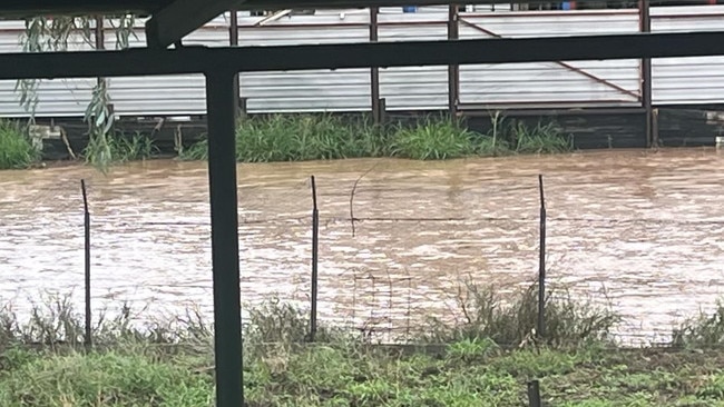
“It’s usually bone dry – we hardly ever get rain, but when I looked out my window it was like I had riverfront views.
“The amount of water was staggering. It was the whole of November’s water in an hour.”
The Bureau of Meteorology had warned parts of Queensland to brace for isolated totals of up to 200mm possible.
Flash flooding occurred in Charleville, and surrounding areas were drenched by rainfall on Wednesday, as a trough system intensified over the upper Warrego catchment, resulting in moderate to isolated intense heavy rainfall more than 150mm recorded up to 6pm on Wednesday.
At one point, up to 68mm of rain fell in one hour on Wednesday afternoon.
The highest rainfall totals in the area was recorded at Lesdale with 184mm, Oakwood with 144mm, Dresnmaine with 120mm, Barradeen with 110mm, and the 27 Mile Garden with 100mm, with Charleville recording 91mm.
At 2.19pm the weather bureau issued a severe thunderstorm warning for Lower Burdekin, the North Tropical Coast and the Tablelands.
According to the Balonne Shire Council, the Moonie Highway is closed to the west of Dalby due to flooding.
“There are numerous other areas along the highway that currently have significant water across the road,” the statement read.
“Road conditions of other sections of the highway are subject to change at any time without notice.
“Please choose an alternative route.”
Murweh Shire Council chief executive Bruce Scott said it had been described as a “one in 50-year event”.
Mr Scott said the council was monitoring the automatic flood gauges in the Bradley’s Gully catchment to ensure Charleville was safe.
“Bradley’s Gully peaked at the Lower Bradley’s Gully gauge at 2.1m at 11.38pm last night, and we are now seeing the peak passing through just above Charleville down the Bradley’s Gully Diversion and across the Wellwater Road into the Warrego River,” Mr Scott said.
“This is a major test for the Bradley’s Gully Diversion and the highest flow on record since construction, and Council is very pleased to advise that the diversion is working perfectly and is keeping the Charleville community residents and infrastructure safe from flooding.
“Council is very aware that the Charleville town drainage systems could not manage the intensity of yesterday’s rain and did cause inconvenience to some residents. The town drainage system was never designed to manage an event of this magnitude which is considered by the Bureau of Meteorology as a probability of a one in 50-year event.
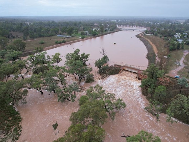
The significant downpour resulted in flooding with a flood warning issued for the Warrego River basin.
Meteorologist Helen Reid said Thursday was set to be a wet day for much of the state, with showers and possible thunderstorms and rain areas forecast across most districts.
“Significantly, the coastal trough is expected to deepen off the central Queensland coast, enhancing shower and thunderstorm activity around the east coast,” Ms Reid said.
■ GALLERY: Qld’s wet and wild November
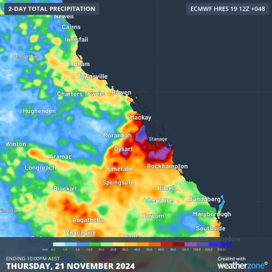
Ms Reid said Queensland’s Central Coast and Capricornia were likely to bear the brunt of stormy weather and may even be at risk of flash flooding.
“Persistent falls are expected throughout the day. Widespread totals of 30-60mm are expected throughout these areas and across parts of the Central Highlands and Coalfields,” she said.
“Higher totals are expected along the coast, with 100-200mm possible, especially around Mackay.”
On Wednesday evening, the Bureau of Meteorology issued an Initial Minor Flood Warning for the Warrego River advising of minor flooding at Charleville overnight and into this morning.
The intense downpour resulted in isolated sharp water level rises and major flooding has been recorded at Raceview along the Bradleys Gully.
The floodwaters from the storms may cause minor flooding at Charleville and downstream.
Weatherzone’s Ben Domensino said a brief burst of heavy rain was likely to cause flash flooding along Queensland’s central coast and adjacent inland today.
“A coastal trough being fed by a deep layer of moisture-laden winds coming off the Coral Sea will cause heavy rain over Queensland’s central coast and adjacent inland on Wednesday night into Thursday,” he said.
“There also signs that a small low pressure system could form near the coast, which would further enhance rainfall in the region if it forms.
“The rain from this system is expected to be brief but intense, likely brining 100-200mm between Wednesday afternoon and Thursday night, with isolated falls possibly exceeding 300mm.
“If this much rain does fall, it would easily be enough to cause localised flash flooding.”
Mr Domensino said there was uncertainty regarding the event.
“It’s clear that a period of heavy rain will develop during Wednesday night and on Thursday,” he said.
“However, it’s uncertain exactly where and how much rain will fall, so be sure to keep up to date with the latest forecasts and warnings during the next 48 hours. In addition to the rain that’s about to soak Queensland’s central coast, areas of rain and thunderstorms will also impact other parts of the state on Wednesday and Thursday.”
Meteorologist Kimba Wong said communities in central Queensland, particularly those along the coast, should brace for heavy fails and potential localised flash flooding.
But the drenching was likely to end by Friday.
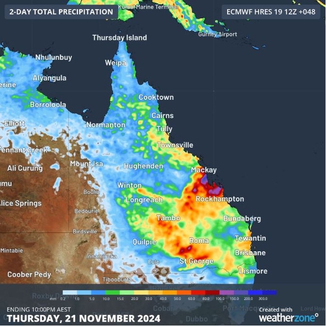
There had also been pockets of heavy rain in some parts of the southeast including 100mm in just 24 hours in places like Caboolture and on the Sunshine Coast.
And the wet end to spring mean rivers, creeks and streams would be already saturated by the time summer rains arrive.
“In terms of the season ahead, we are expecting average to above average rainfall expected across much of the state,” Ms Wong said.
“Unfortunately, alongside this, there’s an increased risk of unusually high temperatures and heatwave conditions as well.”
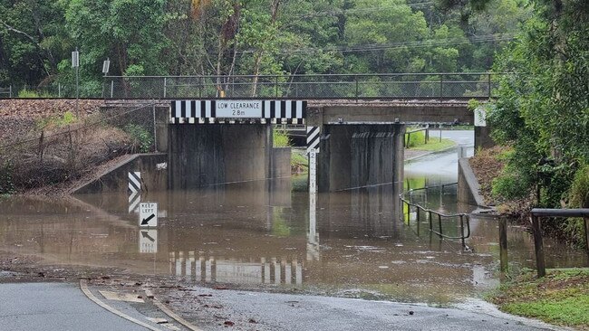
State Disaster Coordinator Shane Chelepy said emergency services, including Queensland Police, Fire Department, State Emergency Service and Marine Rescue were “prepared as best we can” for the year.
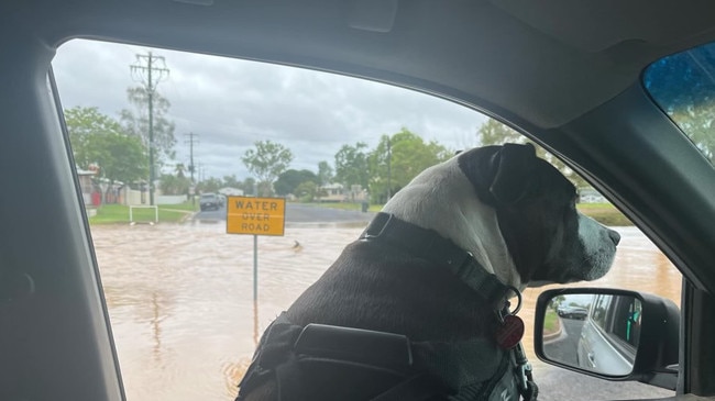
“But what we are seeing is still already some reckless behaviour, and we’re seeing our Queensland Fire Department swift water rescue crews already having to rescue drivers who have chosen to drive through floodwater,” he said.
“(People) who are putting themselves their families and our emergency service and volunteers at risk. So can I please ask early in the season, we lose more lives during a disaster season by reckless behaviour of driving through water than we do from the disaster.”
Premier David Crisafulli, Police Minister Dan Purdie, and Disaster Recovery and Fire Minister Ann Leahy on Wednesday visited the state’s Disaster Management Centre in Kedron to be briefed on the season ahead.
Mr Crisafulli vowed to provide Queenslanders with clear and concise messaging through the disaster season.


