
Queensland weather: -4.4C this morning as Far North Qld records coldest July day in 125 years
A brutal cold blast has intensified, smashing a century-old record and leaving parts of Queensland shivering in -4.4C temperatures this morning. Here’s what to expect this week

QLD weather news
Don't miss out on the headlines from QLD weather news. Followed categories will be added to My News.
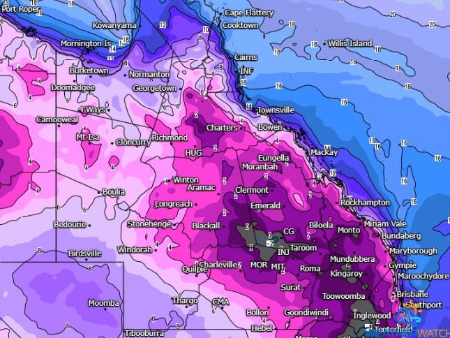
Southern Queensland is again shivering through subzero temperatures this morning while the state’s far north has seen a century-old record smashed.
Oakey recorded its coldest morning since May last year, dropping to -4.4C at 6.30am, with an apparent temperature of -8.2C at 6.20am.
Amberley near Ipswich (-1.2C) and Applethorpe (-3.8C) have both had their coldest mornings of this year while in Warwick, its -3.5C minimum at 6.30am was the lowest since 2019.
Brisbane is enduring one of its coldest mornings so far this year, with 6.3C recorded at the airport at 5.30am. Meanwhile, the Sunshine Coast Airport got down to 3.8C at 6.30am.
It comes after Palmerville in the Cape York broke a 125-year-old record, recording its coldest July day since 1899 on Thursday.
It was also the coldest morning since 1913, dropping to 0.5C.
The Bureau of Meteorology’s Harry Clark said relief from the cold snap was expected by the middle of this week.
“It’s been a fairly extensive cold snap for the state, with the inland areas a bit more notable with the chilly temperatures on Monday,” Mr Clark said.
“We will finally see an end to this cold weather over the next few days, it will still be another cold morning tomorrow particularly in the southern and central interiors with some frost possible in those areas.”
Winton Airport recorded -0.6C on Saturday – its lowest recorded temperature in 22 years.
“As we move deeper into the week the winds begin turning more onshore which means we get moisture returning and as a consequence we will see those temperatures increase,” Mr Clark said.
“We’ll be back to average by Wednesday and above average for most of the state by Thursday.”
The cold snap could end with a brief heatwave, with parts of central Queensland including Longreach and Mt Isa forecast to reach 30C by Friday, which Mr Clark says is well above average but not unheard of.
Brisbane will see temperatures increase to 23C by Wednesday and 25C in the weekend.

‘Can’t be ruled out’: Potential for freak Qld snowfall this week
Queensland could see snow this week with weather models predicting up to 14cm falling on the Granite Belt.

Monster weather system brings storm, heavy rain to Qld
Brisbane and surrounding parts of the southeast have been hit by storms and heavy rainfall this afternoon as a 3000km-long monster low moves across the state.