
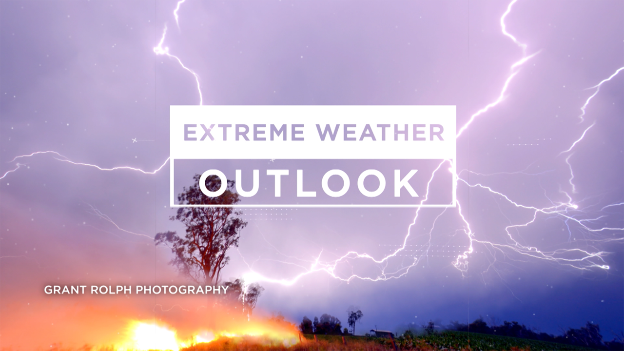
Queensland weather 2020: Erratic conditions forecast
Queenslanders thinking the weather in 2019 was bad are in for little reprieve as forecasts for the beginning of the new decade predict more-intense heatwaves, catastrophic fire conditions, droughts and cyclones all possible in what will be an erratic 2020.
QLD weather news
Don't miss out on the headlines from QLD weather news. Followed categories will be added to My News.
QUEENSLAND weather will remain unpredictable in 2020 with intense heatwaves, catastrophic fire conditions, droughts and cyclones all possible in what will be an erratic year.
Bureau of Meteorology weather experts say dry conditions and heat will mark the beginning of 2020.
Scott Morrison rules out changes to government’s climate change policies amid bushfire crisis
How much climate change has wiped off farm profits
Queensland weather: Drought declarations coming as heatwave persists
Temperatures up to 7C above average are expected across the state in the first weeks of January, while hotter than usual days and nights are expected until the end of March.
Meteorologist Jess Gardner said forecasters were keeping a close eye on Cyclone Sarai off the Fiji coast.
“The average is four tropical cyclones in the eastern region and any cyclone has a one in four chance of crossing the coast,” Ms Gardener said. “Cyclone Sarai is heading eastwards away from us … There’s always a chance (it could turn around) … but it could generate some easterly swells we could see in the next few days.”
The forecast follows a tumultuous year of devastating droughts, flooding rains, raging fires and the effects of ex-tropical Cyclone Trevor.
Queensland’s hottest day so far for 2019 was on Christmas Eve when the mercury skyrocketed to 49.3C in Birdsville – the hottest recorded since Christmas Eve 1972, when it hit 49.5C in the same location.
The state also recorded its fourth driest spring, Brisbane recorded its hottest day since 1981 with a high of 41.2C on December 16 and Townsville recorded its highest rainfall of 1259.8mm in a 10-day period in February, since 925.5mm was recorded in January 1953.

The incredible rainfall came from a monsoon trough and slow-moving low pressure system over the northern tropics from late January into early February.
Paluma, Woolshed and Bluewater in the Townsville region all reported 12-day accumulated totals of more than 2000mm.
Record rainfall was also recorded in previously drought-affected regions of Julia Creek and Richmond in the Gulf Country and North West Queensland.
Several homes and hundreds of thousands of hectares were destroyed in bushfires in Yeppoon, while southeast Queensland firefighters battled devastating blazes that tore through iconic landmarks such as the Binna Burra Lodge in the Gold Coast Hinterland.
University of Southern Queensland disaster behaviour expert Dr Barbara Ryan predicted Queenslanders would continue to be unprepared for bushfires.
“We haven’t ever had weather conditions like we had since the Rockhampton fires in 2018 – that was the first time we’d ever had a catastrophic fire day and that sort of weather we’re really not prepared for,” Dr Ryan said. “That’s the case across Queensland now – we’re starting to get extreme and catastrophic fire weather and once it gets to catastrophic, the fire services can’t combat the fire – all they can try to do is save houses.”
KEY FIGURES FROM 2019:
Birdsville records hottest day in 2019 with 49.3C on Christmas Eve.
Queensland’s fourth driest spring on record.
Townsville smashes rainfall records with 1259.8mm in 10 days in February.
Brisbane equals hottest ever recorded day with 41.2C on December 16 (last recorded in 1981.)
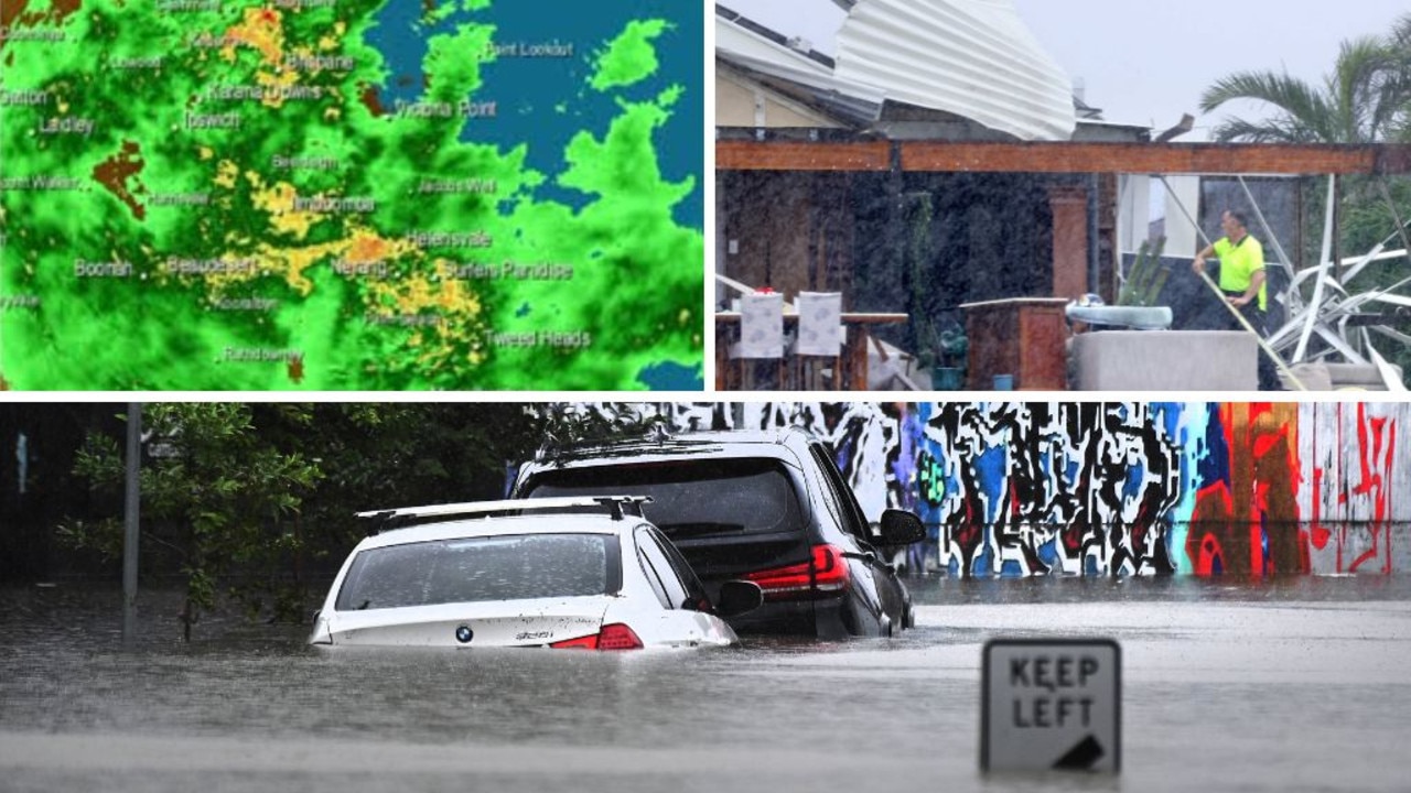
Move to higher ground: Brisbane emergency alert, dangerous storm incoming, 145mm in 3 hours
Residents in one part of Brisbane have been told to prepare to move to higher ground as the dangerous aftermath of ex-tropical cyclone Alfred continues, with emergency alerts issued, major flood warnings in place and a severe storm warning current. LATEST
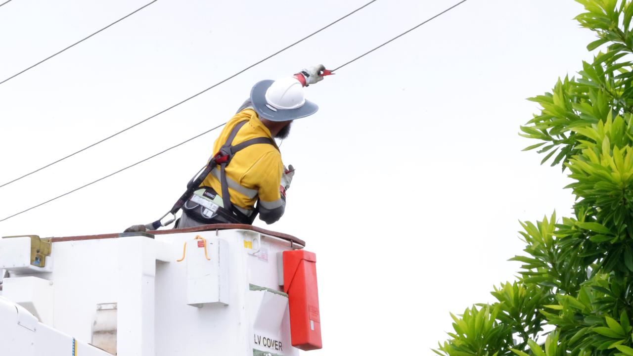
Total blackout: More than 206k SEQ properties still without power
More than 206,000 homes and businesses across South East Queensland remain without power, and it could take a fortnight to restore the hardest hit areas.