Qld weather: Records in sight as 38.4C scorcher rocks state
Queensland is set for a sweltering week of potentially record-breaking temperatures of up to 15C above the August average, with Brisbane tracking towards a brutal 34C.

QLD weather news
Don't miss out on the headlines from QLD weather news. Followed categories will be added to My News.
More August records could be broken across Queensland as some temperatures get up to 15C above the August average.
It comes after Birdsville broke a “preliminary” August record on Sunday, with temperatures reaching as high as 38.4C, compared to its previous high of 37.7C.
Bureau of Meteorology meteorologist Pieter Claassen said there were a number of other locations through western and south western Queensland that had their warmest August day since 2009.
“A number of locations this week through the interior of the state and south eastern Queensland will see the warmest August temperatures since 2009,” Mr Claassen said.
“There is the odd chance of a record here and there as well.
“Even for Brisbane the forecast is up to 34C by next Saturday, 11C above August averages.
“The August record for us is 35.4C, we are about a degree off that record in 2009 at the moment, there’s obviously a chance of setting that record.”
This week there is expected to be a string of hot days right through to Sunday with a bit of reprieve on Tuesday. The hot weather will impact Gold Coast, Brisbane, Sunshine Coast, central Queensland and western Queensland.

“It is quite unusual in August that we see such a long run of these temperatures,” he said.
“There will be very warm, well above average August temperatures, I think, particularly in the south and southern interior, getting up to 15C above average by next weekend.”
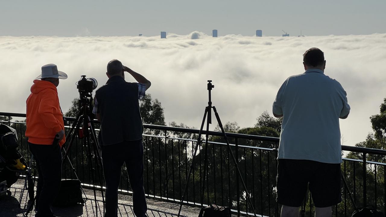
On Monday, residents across Queensland woke up to large blankets of fog.
“There was quite extensive fog across the Brisbane region this morning, stretching all the way to Redcliffe in the north, down across the airport and the city, and blanketing western suburbs of the city as well,” he said.
The fog had pretty much cleared by 9am. The impacts across Brisbane Airport were over with planes landing by 8.30am.
Mr Claassen said the fog was caused by the low level moisture in the air.
“There’s a little bit of humidity at the surface, and then above that, clear skies and dry air, and light winds as well, which really let the temperatures cool down and lets that air to condense,” he said.


