‘Perfect conditions’ in Coral Sea could lead to cyclone forming off north Queensland
The monsoon trough that has flooded north and western Queensland could become a cyclone as it hovers over the Coral Sea, where conditions that would allow the system to intensify are “perfect”, forecasters say.

QLD weather news
Don't miss out on the headlines from QLD weather news. Followed categories will be added to My News.
THE monsoon trough that has flooded north and western Queensland could become a cyclone as it hovers over the Coral Sea, forecasters say.
The Bureau of Meteorology says conditions are perfect for the system to gain strength offshore, and potentially head back toward the east coast.
Shocking photos reveal mass cow deaths after floodwaters
Queensland railway line swallowed by flood caught on camera
Premier deflects question over flood water release to Townsville City Council
State Government orders review
“We don’t want to alarm people yet because it is not certain, but we can’t completely rule it out,” forecaster David Crock said on Friday.
Flood-hit Townsville copped another 170mm of rain in the past 24 hours but the trough is weakening.
A few showers are expected on Friday as the system peters out and moves offshore.
Mr Crock says computer models suggest the trough could interact with a broad low-pressure system way out in the Coral Sea near New Caledonia and Vanuatu.

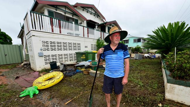
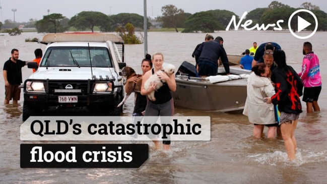
Any more rain in already sodden catchments in the state’s north and west would be deeply unwelcome,as communities there recover from record flooding.
“That would be obviously the worst case scenario and there is no indication yet. Fingers crossed that does not happen,” Mr Crock said.
“Once it is out over the sea, it is a very different system. The ocean is warm and it is the right time of year for cyclones to form, so there is a lot in its favour to form into a cyclone.”


