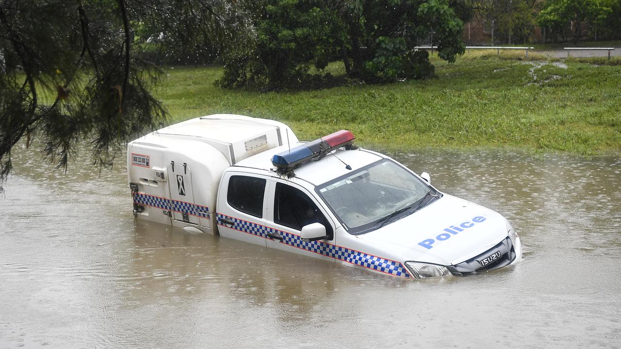
Huge 400mm deluge dumped on Townsville, more to come
MORE than 1700mm of rain has been dumped on parts of far north Queensland since the monster deluge began - flooding major parts of Townsville and beyond. SEE THE PICTURES
QLD weather news
Don't miss out on the headlines from QLD weather news. Followed categories will be added to My News.
MORE than 1700mm of rain has been dumped on parts of far north Queensland since the monster deluge began - flooding major parts of Townsville and beyond.
Woolshed has recorded 1750mm of rain since January 26 when the system began with Mount Stuart recording 1258.6mm, Ingham 1039.4mm, Townsville 1134.4mm and Ayr 476mm.
The Ross River Dam peaked at 247.6 per cent capacity today filled with 577,262 megalitres of water.
There are major flood warnings for Flinders, Cloncurry and Leichhardt Rivers, Haughton River, Ross River and Upper Burdekin River and Moderate Flood Warnings for the Lower Burdekin River below Burdekin Falls Dam
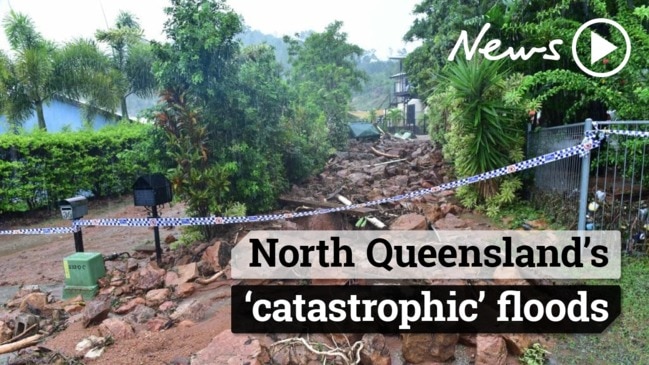
Overnight a monster deluge of more than 400mm of rain fell in the state’s north as Townsville endures its worst flood on record, with more falls expected today.
The Woodlands catchment recorded a massive 401mm of rainfall from 9am Sunday until about 7am today, followed by Annandale at 266mm, the Bureau of Meteorology said.
RESIDENTS ON ROOFS AS FLOODING HITS
The Rooney Bridge catchment recorded falls of up to 238mm of rainfall and the Rollingstone catchment recorded 233mm of rain.
More heavy rain - up to 300mm - and destructive winds are expected today.
The rainfall adds to the crisis situation after the gates of the Ross River Dam automatically tripped open last night after the dam reached about 250 per cent capacity.
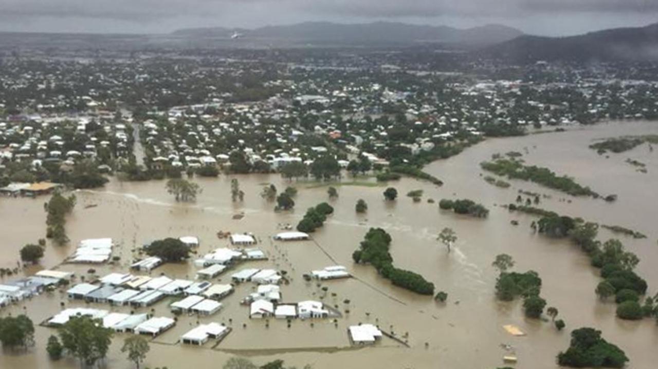
Residents of at least 20 suburbs have been told to evacuate as up to 20,000 homes are feared to be at risk.
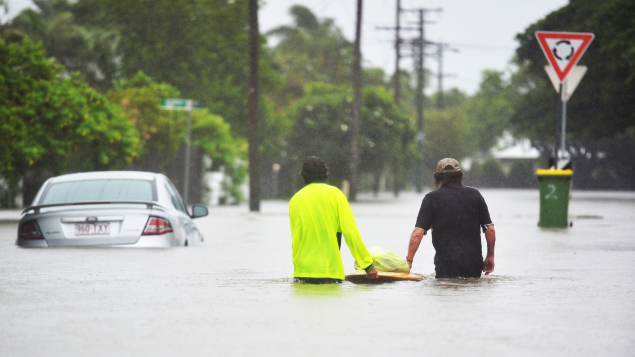
About 850 SES calls were made in the 24 hours leading up to 5am today and almost 20 people were rescued overnight by swiftwater rescue crews.
BoM forecaster Jess Gardner said some drought-ravaged areas in northwest Queensland have recorded welcomed totals.
In the last four days, Mount Isa has recorded 232mm of rainfall, and Cloncurry has had 388mm.
Ms Gardner said the Gereta Station catchment, on the Leichhardt River, has recorded 529mm of rainfall in the last four days, with 232mm in a single day.
WHAT WE KNOW SO FAR
• Between 400 and 500 homes inundated in Townsville
• Fears up to 2000 may have been affected by water in some way
• Almost 1000 people in Townsville evacuation centres
• Choppers and boats being used to get more people out of their homes
• More than 1,000 calls for help to the SES and Queensland Fire and Emergency Services in the 24 hours to 10am, most in Townsville
Flooding in Townsville & North Queensland:
— BigData Earth (@BigDataEarth) February 1, 2019
Animated view: Low-lying areas of the lower reaches of the Ross River#Townsville #BigWet @TCC_News @QldFES pic.twitter.com/zXuSLIEaAh
• 21 suburbs warned of flooding amid unprecedented water releases from the Ross River Dam • Almost 2000 cubic metres per second is charging out of the dam into the Ross River, which snakes through Townsville
• Dam expected to peak at 11am on Monday and remain at that level until at least midnight
• The monsoon trough dumping the rain could become a cyclone if it moves offshore
• Communities from Ingham south to Mackay and west to Mt Isa are under a severe weather warning
• Intense rain with significant flash flooding forecast for communities from Ingham to Bowen and possibly as far south as Mackay
• Flash flooding also possible in Queensland’s northwestern interior, possibly as far west as Mt Isa
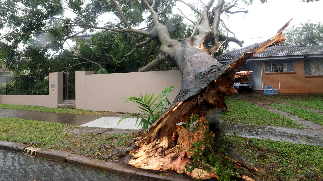
• Warnings remain for damaging winds, including the possibility of tornadoes, in coastal areas
• Damaging winds and abnormally high tides forecast for parts of the Peninsula and Gulf Country districts
• The monsoon trough could become a cyclone if it moves offshore

