How supercell storm behind Brisbane mini-tornado formed
The destructive storm that hit Brisbane on Friday, triggering giant hail and a mini-tornado, was the result of a supercell splitting hundreds of kilometres away hours earlier.
QLD weather news
Don't miss out on the headlines from QLD weather news. Followed categories will be added to My News.
A wild supercell storm that pummelled Brisbane city with giant hail and damaging winds, and spawned a mini-tornado on the river, was caused after a supercell split into two hundreds of kilometres away hours earlier.
The storm slammed into the city on Friday afternoon with multiple warnings issued, baseball-sized hail falling and trees brought down by destructive wind gusts. It also triggered a gustnado on Brisbane River at Kangaroo Point.
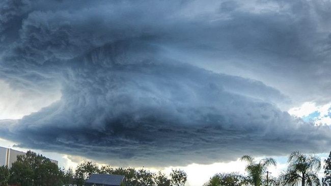
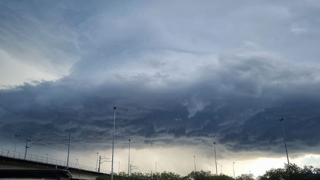
Weatherzone meteorologist Maryam Al-Ansari said the system started with a light shower over the town of Killarney on the Queensland border with New South Wales around 1pm.
“Little did I know that it would evolve into a weather spectacle observed by thousands of people,” she said.
Ms Al-Ansari said the storm started to develop hallmarks of a destructive system when it intensified around 1.30pm.
“The atmosphere was relatively humid at the surface to feed the storm with moisture; it was hot enough to keep the storm active; and the upper atmosphere looked prime to help any storm which developed to continue,” Ms Al-Ansari said.
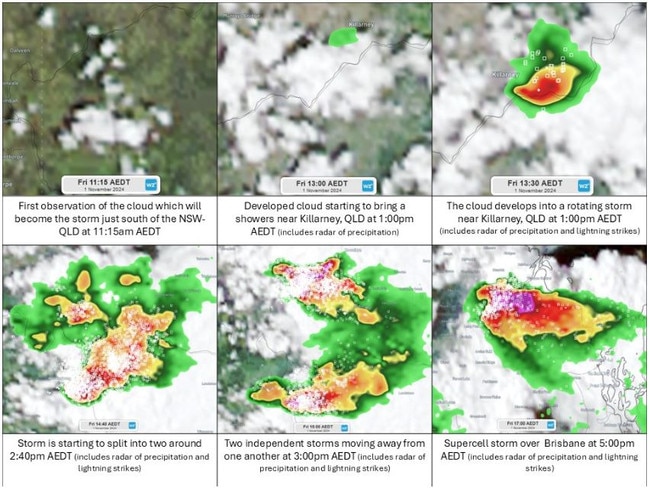
Around 1.46pm, the supercell split into two systems, with one moving south into NSW and the other north into Queensland.
“These types of storms are called splitting supercells, and in the southern hemisphere, the split cell which moves to the left of the “split zone”, in this case it would be the one moving north, tends to become stronger than its sibling to the right,” Ms Al-Ansari said.
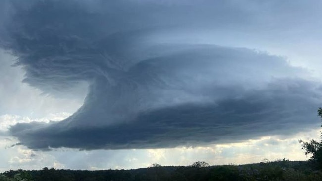
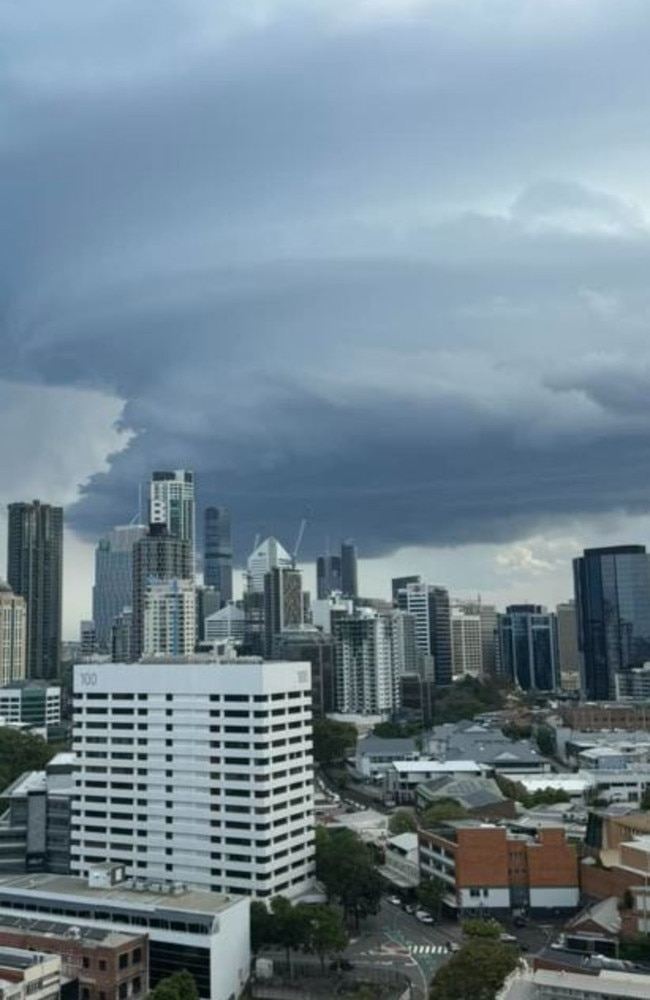
“This was exactly what was seen, the storm in Queensland made a beeline for Brisbane, reaching the state capital in a matter of two hours and growing into a formidable supercell during that time.
“Compared to the sunny morning over the state capital, this storm seemed to come out of nowhere. But like all major thunderstorms, they must come from somewhere.”
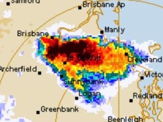
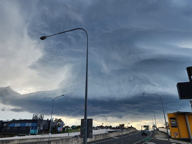
The supercell storm reached Brisbane around 3.50pm, dumping almost 100mm of rain and giant hail, and triggering destructive winds that brought down trees.
During the storm, footage captured a “mini tornado” on the Brisbane River at Kangaroo Point, which meteorologists later described as a “gustnado”.


