
Higgins Storm Chasing prediction: ‘Like nothing that has ever been experienced in this state’
THE Bureau of Meteorology is forecasting more than 400mm of rain to fall on western Queensland over the next week, prompting warnings of potential major flooding that some say “could rival anything during the past 44 years”.
QLD weather news
Don't miss out on the headlines from QLD weather news. Followed categories will be added to My News.
THE weather bureau is forecasting more than 400mm of rain to fall on western Queensland over the next week, prompting warnings of potential major flooding out west.
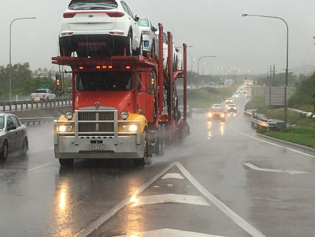
A deep low pressure system to the west of Charters Towers continues to dump heavy rain across Townsville and surrounding areas and is expected to gradually move west in the coming days.
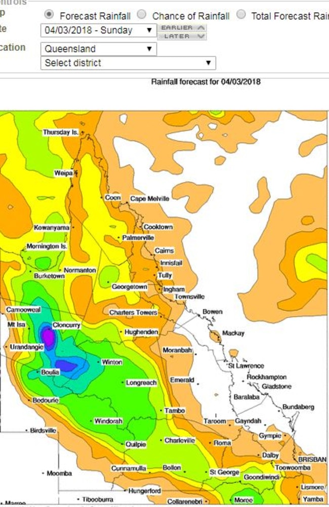
The Bureau of Meteorology’s total forecast rainfall for the next eight days shows more than 400mm of rain is expected to then fall on areas around Mount Isa and Cloncurry.
However, BoM said there is still some uncertainty around the upcoming weather.
“There remains some uncertainty in the strength and movement of the low pressure system and the resulting heavy rain focus,” the weather bureau said in its Queensland forecast.
“A moist and unstable air mass and the chance of storms will persist over the remaining northern half of the state into next week.”
Higgins Storm Chasing – a weather business page, that shares photos, forecasts, alerts and updates in Queensland and across Australia – were less circumspect with their weather prediction.
They described the forecast they had compiled for Queensland as a weather event, “... that could rival anything during the past 44 years. It may even be so significant that nothing has ever been experienced like it in this state.”
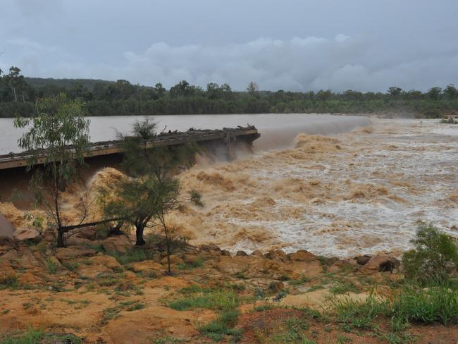
Higgins Storm Chasing posted on their site and Facebook page on March 1: “All of Western Queensland need to prepare for a potential Major Record Flood which is forecast to impact the area during the next 5 days. It could rival anything during the past 44 years (since the 1974 flood), it may also be so significant that nothing has ever been experienced like it in this state. Widespread rainfall totals of 200 to 400mm is likely with up to 550mm possible!”
The Bureau of Meteorology said they have been made aware of reports of potential record flooding in the west but said it’s too early to say where the low pressure system will go.
BoM forecaster David Crock said the weather bureau was monitoring the movements of the low pressure system, which is currently sitting around Georgetown.
“What we do know, is that the low pressure driving that (rain) will move west towards the northwest, Mount Isa region over the next day or two,” he said.
“There should be a fair bit of rain in the northwest district which includes places right from the border to Winton and Boulia on Saturday. And then after that, it starts to become a bit uncertain as to where the focus moves with all that rain.
“Obviously there’s plenty of moisture there, a lot in the west, and then the models we look at diverge a bit. Some take it more north, some take the focus of it further south, (where it will) dump a whole lot of rain on the west and central-west parts of Queensland.
“There will be plenty of rain somewhere, but it’s too early to pinpoint where that might all end up.”
Click here for BoM Rainfall Forecast

Feels like -5.3C: Icy blast sends temps plummeting again
South East Queensland has again shivered through a freezing start to the day, as a brutal cold front continues to blast the region with subzero temperatures, made worse by chilling winds.

Feels like MINUS 7.1C: Brutal cold front blasts southern Qld
A brutal cold front is blasting across southern Queensland with subzero temperatures and widespread frost.