
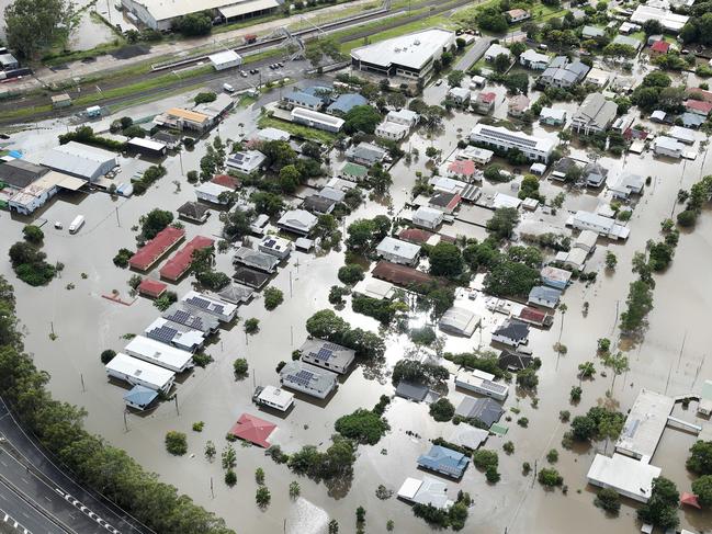
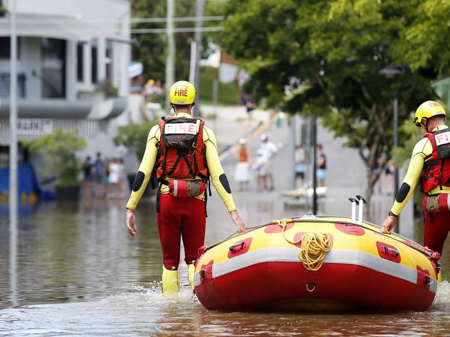
Flooding chaos set to continue as SEQ clean up begins
The floods wreaking havoc on the region are expected to worsen again within the next 48 hours as the bureau predicts another wave of dangerous storms.
QLD weather news
Don't miss out on the headlines from QLD weather news. Followed categories will be added to My News.
Authorities have warned South East Queensland could be lashed with further flash flooding throughout the week with the likely arrival of severe thunderstorms creating another heavy drenching.
Bureau of Meteorology Meteorologist Pieter Claassen said showers are expected overnight with rainfall between 10-25mm, particularly over parts of the Gold Coast, the Gold Coast hinterland and some Brisbane suburbs.
“Heavy rainfall is definitely unlikely [overnight] at this point,” Mr Claassen said.
However, Mr Claassen said the weather may start to ramp up again on Wednesday, particularly on Thursday as another trough approaches Southeast Queensland.
“It’s the right set up to see severe thunderstorms in the afternoon develop around that trough line. That trough might be in the region for a few days at least, over the weekend and into early next week potentially as well,” Mr Claassen said.
“We could see another few days of showers and storms around Brisbane. It doesn’t look the same as the last even though.”
“It is still a bit concerning for us seeing as it will be in the region for a few days.”
Mr Claassen said they are not expecting major river flooding levels to be exacerbated, but more localised flash flooding from the next incoming trough of rain.
“We get a second, potential wave on the weekend with the next upper trough. That one we are watching closely because that one could be a little bit heavier, potentially,” Mr Classen said.
“Still, looking more like isolated to scattered heavier falls rather than the one, widespread rain that we saw with the last event.”
A severe thunderstorm warning was issued by the Bureau of Meteorology at 3.30pm today, with heavy rainfall that may lead to flash flooding the Logan, Scenic Rim and Gold Coast areas.
BOM said the next wave of damaging storms was expected on Wednesday and could continue into the weekend, as the region remains on high alert amid numerous active flood warnings.
Major alerts are current for several rivers across the region including the Upper and Lower Brisbane rivers, Logan and Albert rivers, Bremer River and Warrill Creek, the Mary River, the Noosa River, and Condamine and Balonne rivers.
The weekend’s devastating drenching had created emergency conditions for populated communities including Gympie, Maryborough, Sunshine Coast, Ipswich and Brisbane, and Lismore and Grafton.
Senior Meteorologist Dean Narramore said many areas had been lashed with up to 1000mm of rain with severe storms creating cyclone-like conditions.
“It was all thanks to a very slow moving upper level low pressure system combining with the very moist conditions off the Coral Sea bringing this widespread and prolonged heavy rainfall event to parts of Southeast Queensland,” he said on Monday.
“The flood warning for the Brisbane River continues to consider the releases from Wivenhoe Dam, being managed by SEQ Water.”
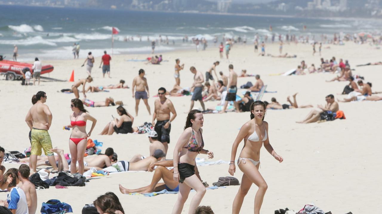
SEQ sunshine for Easter break as inland ocean inches toward border
Showers are clearing after a wet weekend in south east Queensland, with a forecast of sunny days ahead of the Easter break.

Outback dream wiped out by flood disaster as repair bill tops $1m
The owners of an outback motel face a $1m repair bill in the wake of the once-in-a-generation flood in Thargomindah.