
Cyclone swell to reach Queensland coast as showers dampen Easter holidays
Wet weather is expected to return to South East Queensland ahead of Easter after Tropical Cyclone Fili formed over the eastern Coral Sea this morning.
QLD weather news
Don't miss out on the headlines from QLD weather news. Followed categories will be added to My News.
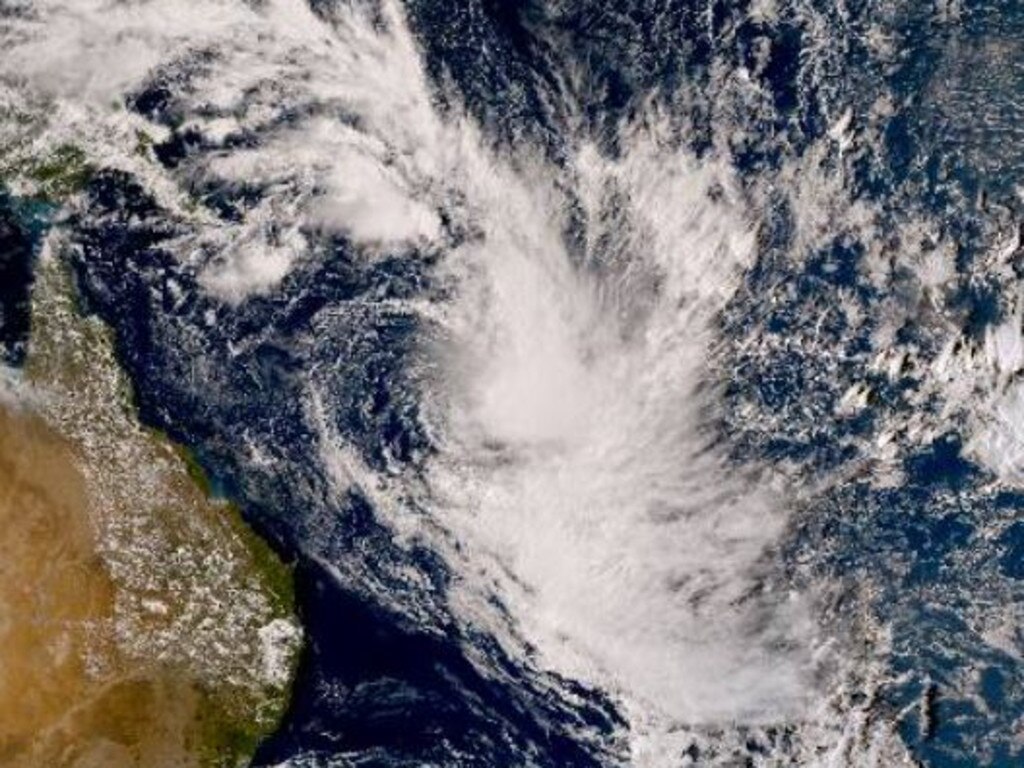
Wet weather is expected to return to the southeast ahead of Easter as a cyclone which formed over the eastern Coral Sea this morning could generate big swell for the Queensland coast.
Tropical Cyclone Fili developed just outside the Eastern Region of Australia’s area of responsibility for tropical cyclone monitoring and is expected to move south over the coming days.
While Cyclone Fili, named by the Fiji Meteorological Service, should remain well to the east of the Australian mainland, it could contribute to rough surf conditions along the south coast from Friday afternoon.
“Swells are expected to be an easterly 3m with long period, generated by a combination of Tropical Cyclone Fili and a high moving into the Tasman Sea,” meteorologist Helen Reid, from the Bureau of Meteorology, said.
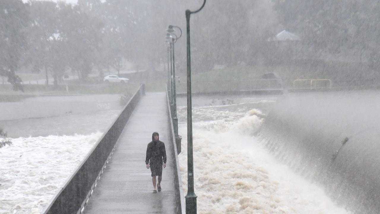
Showers are expected to increase across the southeast from late Thursday, resulting from moisture and wind off the ocean combining with an upper trough.
Showers are expected to stick around on Friday and Saturday, particularly for coastal parts of southeast Queensland, before easing on Sunday.
“In terms of totals, it’s not looking like flooding rains at this point but certainly we could see up to 20mm or so at many locations and isolated high totals with that,” meteorologist Harry Clark said.
“We’re not concerned from a flooding point of view but certainly it’s going to be a bit of a wet end to the week and start of the weekend.”
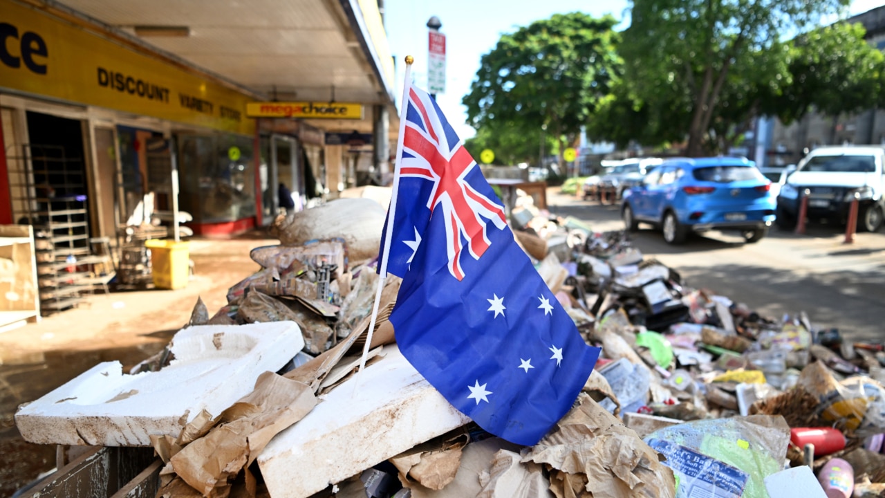
Other parts of southern Queensland are still feeling the impacts of huge rain totals brought by weather systems at the weekend and last month.
Major flooding was occurring at Pratten on Tuesday and Mr Clark said flooding would continue along the Condamine River as slow-moving water made its way down the river.
“It’s going to be a number of weeks of flood warnings in southern Queensland but the highest-impact flooding has already occurred around that Warrick region yesterday,” he said.
Mr Clark said a rainband which parked itself over the Darling Downs and Granite Belt was mostly responsible, after dumping significant rain on already saturated catchments at the weekend.
Showers and thunderstorms are likely to return to the southern interior from Wednesday, potentially falling over flooded catchments later in the week.
The rain is expected to clear for much of southern Queensland early next week but Mr Clark said it was too early to say whether the sunny conditions would remain for the Easter long weekend.
The hazardous surf, expected to pick up this Friday, comes in the middle of the Easter school holidays.
“There will be lots of people at the beach I imagine if the weather does happen to clear up but they will need to take care as it will be quite dangerous,” Mr Clark said.
“And I wouldn’t be surprised if there was a couple of beach closures out of this.”

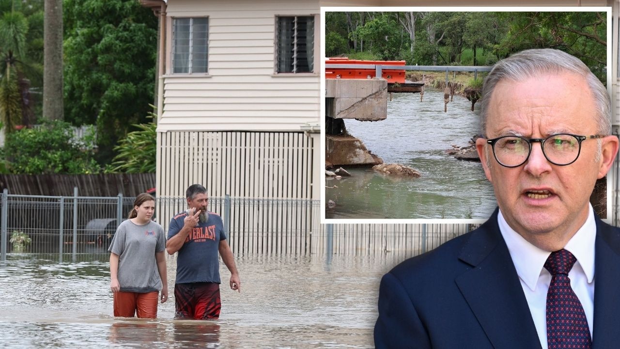
PM slams Bruce Hwy, as military might unleashed on flood clean-up
The Prime Minister hasn’t pulled any punches in his assessment of a critical part of the Bruce Highway as he visits flood-ragaved North Queensland, vowing to provide “whatever support is necessary”.
‘Big impacts’: New 300mm rain bomb, cyclone threat for NQ
Flood-soaked NQ communities have been warned of more heavy rain that could lead to life-threatening flash flooding in coming days – and even the slight chance of a tropical cyclone developing off the coast.