
Current La Nina won’t be as strong as previous events
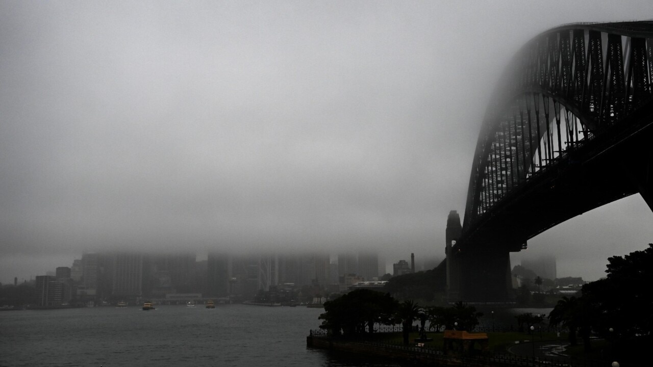
As rains continue to fall throughout southern Queensland – with more on the horizon this week – the Bureau of Meteorology has played down the likely impact of the current La Nina system.
QLD weather news
Don't miss out on the headlines from QLD weather news. Followed categories will be added to My News.
This summer’s La Nina weather phenomenon will be short-lived and not as strong as previous events, according to the latest modelling from the Bureau of Meteorology.
The BOM said on Sunday that La Nina, which typically delivers more cyclones, storms, downpours and cooler temperatures, would persist only until late summer or early autumn in 2022.
Head of Operational Climate Services, Dr Andrew Watkins, said the last “significant” La Nina was between 2010 and 2012, a strong event that saw widespread flooding and resulted in Australia’s wettest two-year periods on record.
“Every La Nina has different impacts, that’s why it is important not to look at it in isolation,” Dr Watkins said.
The bureau’s meteorologist Felim Hanniffy said the current system was “weaker” than previous La Nina events.
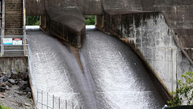
“Usually La Nina savours above-average moisture levels for bigger flooding events, but we already have saturated catchments and the potential for further flooding,” Mr Hanniffy said.
NSW has already copped significant downpours with evacuations under way at Gunnedah and in the Hunter.
Panicked residents in threatened communities were on Sunday organising evacuation plans and guiding livestock to higher ground.
Flood warnings are active for many catchments across southern Queensland with renewed river and creek level rises likely where heavy rainfall is recorded.
On Saturday night, Brigalow Bridge and Booba Sands in the Darling Downs received “a month’s worth of rain in just over an hour”.
“Brigalow Bridge received 120mm while further south in Booba Sands 110mm fell in just over an hour,” he said.
Mr Hanniffy said there is still a risk of storm and “localised heavy rain” particularly across the western Darling Downs for the rest of the week.
“These localised falls with thunderstorms above 100mm will continue throughout the rest of the week and peak on Tuesday and Wednesday morning.”
Mr Hanniffy said recent storm activity has been “isolated but intense” across the state.
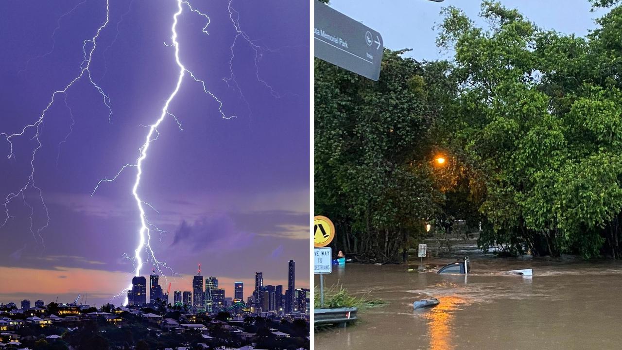
‘Everything was on fire’: Teen recounts being struck by lightning
A Southeast Queensland teen has recounted the horrifying moment she was struck by lightning during last night's wild weather, which saw her and another woman raced to hospital.
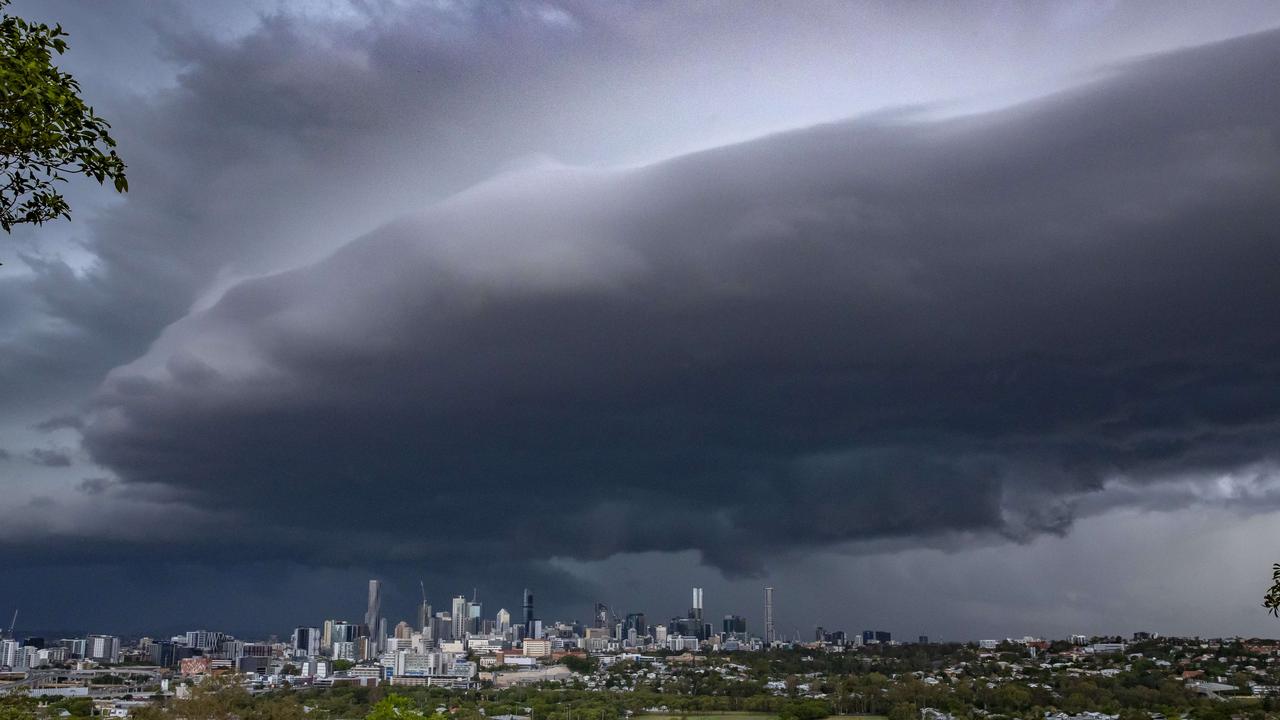
SEQ to be lashed with storms, 100mm downpour ahead of Anzac Day
Showers and storms are forecast to soak South East Queensland on Thursday afternoon with lingering rain expected to fall on Anzac Day Dawn Services and marches.