
Cool, wet weather ahead of Easter break
Brisbane residents have experienced the coldest March day in more than 25 years, as temperatures plummeted over the weekend, while the accompanying wet weather is expected to worsen. FORECAST

QLD weather news
Don't miss out on the headlines from QLD weather news. Followed categories will be added to My News.
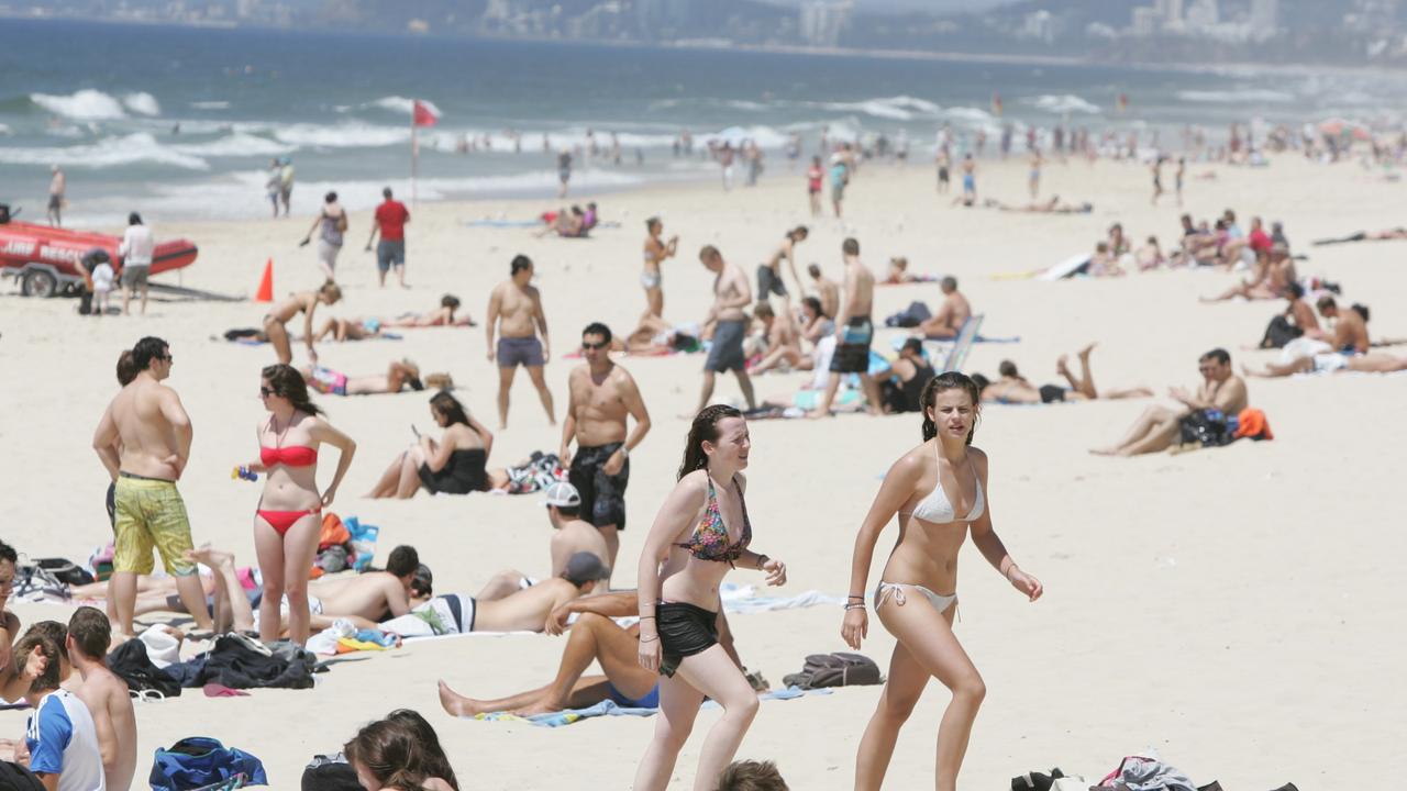
Brisbane experienced its coldest March day on record on Sunday.
The Bureau of Meteorology’s senior meteorologist Angus Hines said statewide temperatures dropped quite significantly over the weekend, when Sunday’s lowest maximum temperature of 21.6C in Brisbane overtook the previous March record of 21.9C, set on March 28, 2022.
Records for that weather station go back 25 years.
“Certainly well below the typical temperatures that we get at this time of the year,” Mr Hines said.
“The thick band of clouds and an undercutting southerly wind flow combining to bring much cooler temperatures to the region, after what had been a pretty warm run through summer and into the start of autumn.”
Mr Hines also said the thick cloud cover over the weekend brought light showers – only between 10-20mm in areas experiencing the heaviest falls – but more rainfall could be expected over the next week.
Brisbane is in for more of the same on Monday, but conditions are expected to get wetter in the coming days.
“It’s another cloudy cool day on the way for today, similar to yesterday … maximum temperature of Brisbane forecast only to be about 22 degrees today,” Mr Hines said.
“The rainfall will still be around and it could get a bit heavier over the next couple of days, probably Tuesday and Wednesday are the two days this week where we could see some slightly more notable rainfall tallies.
“Maybe 25 to 30mm in some places on Tuesday and perhaps even a touch more than that on Wednesday and maybe even up to 40mm in some areas [of southeast Queensland].”
In good news ahead of the Easter long weekend, the wet weather is looking to clear up towards the end of the week, bringing warmer temperatures and more sunshine.
“So we’re back to about 26 or 27 degrees from tomorrow onwards … there’s still the odd shower or two but should be longer, brighter, sunnier stretches of weather, and those high temperatures will stay around 27 or 28 degrees,” Mr Hines said.
“The prospects for the long weekend still likely to see a lot of onshore winds which is going to mean passing showers.
“I would say probably little change from the second half of this week when we’re looking at 27-28 degree temperatures and a few passing showers.
“That overall weather situation looks like it will hold firm through most of the long Easter weekend so expect similar forecasts for those days.”
FORECAST
BRISBANE
Monday Shower or two 19-26C
Tuesday Showers 21-26C
Wednesday Shower or two 21-27C
SURFERS PARADISE
Monday Shower or two, 19-26C
Tuesday Showers, 21-26C
Wednesday Shower or two, 21-27C
MAROOCHYDORE
Monday Showers, 19-26C
Tuesday Showers, 21-26C
Wednesday Showers, 21-27C
TOOWOOMBA
Monday Light rain, max 18C
Tuesday Rain, 17-20C
Wednesday Shower or two, 17-22C
ROCKHAMPTON
Monday Shower or two, 22-29C
Tuesday Shower or two, 23-30C
Wednesday Shower or two, 23-30C
TOWNSVILLE
Monday Showers, 25-30C
Tuesday Showers, 25-30C
Wednesday Showers, 25-29C
CAIRNS
Monday Showers, 24-31C
Tuesday Showers, 25-31C
Wednesday Showers, 25-31C
SEQ sunshine for Easter break as inland ocean inches toward border
Showers are clearing after a wet weekend in south east Queensland, with a forecast of sunny days ahead of the Easter break.

Outback dream wiped out by flood disaster as repair bill tops $1m
The owners of an outback motel face a $1m repair bill in the wake of the once-in-a-generation flood in Thargomindah.