
Bureau of Meteorology predicts the end of La Nina
The Bureau of Meteorology has revealed when La Nina will end, with the wettest weather set to peak next month.
QLD weather news
Don't miss out on the headlines from QLD weather news. Followed categories will be added to My News.
The Bureau of Meteorology has revealed when Australia’s third consecutive La Nina season will likely come to an end.
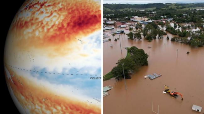
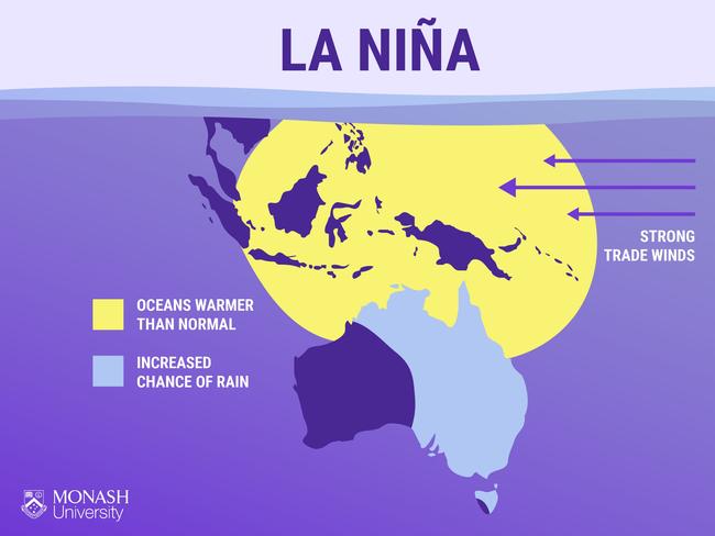
La Nina is continuing in the tropical Pacific and will likely persist into early 2023, increasing the chance of above average rainfall for northern and eastern Australia.
The negative Indian Ocean Dipole (IOD) event is also continuing, which means it’s more likely there will be above average spring rainfall for most of the eastern two thirds of the country.
When La Nina and negative IOD conditions combine, this also raises the likelihood of above average rainfall.
While the rain is set to continue for the time being, the BOM has predicted it will decline over spring before transitioning into neutral El Niño – Southern Oscillation (ENSO) conditions as summer comes to a close.
Based on current modelling, the BOM believes the phenomenon will be “a relatively short-lived event”.

Dr Agus Santoso of the UNSW Science’s Climate Change Research Centre said current modelling shows La Nina will likely peak sometime in November.
“In general, La Nina or, and also El Nino, tends to peak in summer itself and then starts to decay in autumn,” Dr Santoso told 7 News.
“But this particular La Nina event (will) peak next month, in November, and then, it starts decaying from there on.
“We should expect wetter than normal conditions.
“If we have extreme weather systems coming in, like what we had in March earlier this year, then that would lead to flooding because … dams are already full and the catchments are already saturated.”
In its most recent Climate Driver Update on Tuesday, the Bureau of Meteorology said La Nina, a negative Indian Ocean Dipole (IOD), Southern Annular Mode (SAM) and approaching Madden-Julian Oscillation (MJO) were all contributing to the country’s torrential conditions this month.
“The Southern Annular Mode (SAM) is currently in a positive phase and is likely to remain generally positive throughout spring into early summer,” the BOM said in a statement.
“During the spring and summer months, a positive SAM increases the chance of above average rainfall for parts of eastern NSW, eastern Victoria and southeastern Queensland, and increases the chance of below average rainfall for western Tasmania.
“The MJO is moving into the western Pacific Ocean and is forecast to strengthen further in the coming fortnight as it tracks further east.
“Its influence at this time of the year may lead to above-average rainfall for parts of eastern Australia, and briefly reduce the strength of equatorial trade winds west of the Date Line.”
It comes as residents on the country’s east coast have been smashed by a massive 400m wide rain band.
Victorian towns were told to evacuate overnight as swollen rivers threaten communities and floods threaten the state.
Residents in central and northeastern parts of the state were those most affected.
Premier Daniel Andrews estimated on ABC Radio on Friday morning that 500 homes had been isolated, while another 500 had been isolated.
He later confirmed around 200 people had driven into flood waters.
Around 95 flood warnings have been issued across the state, with five evacuation orders in place.
Seymour in the Mitchell Shire broke flood records not experienced since May 1974 after the Goulburn River peaked at 8.26m around 3am on Friday.
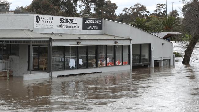
Around 60 properties in Maribyrnong in Melbourne were under threat, while the iconic Anglers Tavern was under water.
In NSW’s Central West, an evacuation order was issued for around 600 Forbes residents on Thursday night.
Anyone who has yet to evacuate is being urged not to leave as evacuation routes will be closed due to floodwater.
In Tasmania, three evacuation with lives at risk from fast-moving and spreading floodwaters.
Acting Tasmanian Premier Michael Ferguson said the heavy flooding and rainfall were similar to the devastating conditions of 2016, which caused three deaths and required more than 100 rescues.
Monster rainfall totals have been recorded at Great Lake East (398mm), Lake Mackenzie (320mm) and Fisher River (312mm) since the event started.
Originally published as Bureau of Meteorology predicts the end of La Nina

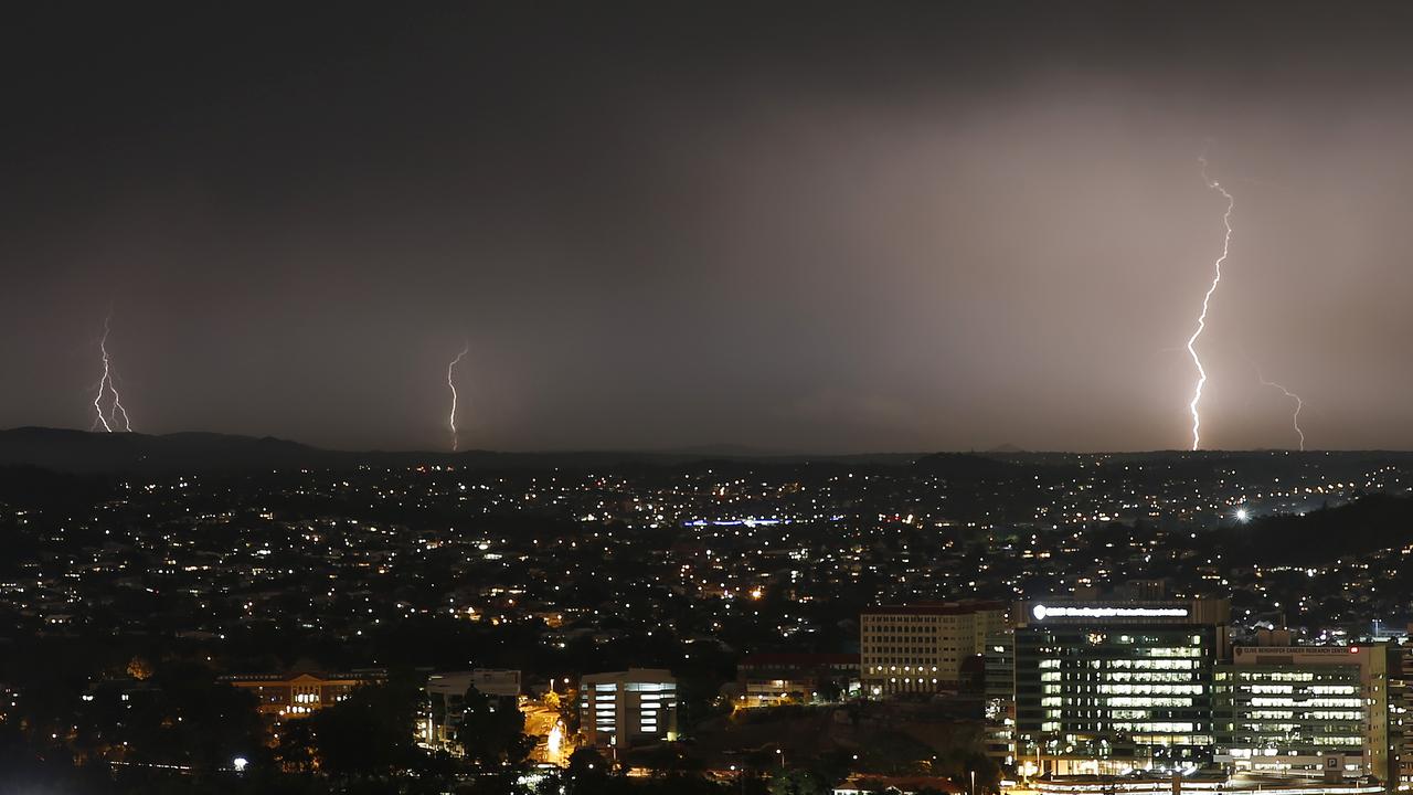
Heavy rain, hail as massive storm front menaces parts of Qld
Heavy rain and hail have been recorded as a severe storm system moved across parts of the state on Thursday afternoon.
Large hail, damaging wind as storms forecast to lash state
Storms producing large hail and damaging winds are tipped to rock southern Queensland, with wild weather expected from Thursday.