BOM issues an El Nino watch as La Nina comes to an end
Queensland is set for a period of weather extremes as authorities call an end to La Nina and monitor a developing El Nino event.
QLD weather news
Don't miss out on the headlines from QLD weather news. Followed categories will be added to My News.
Queensland is set for a period of weather extremes from freak frosts to bushfires as La Nina ends and focus switches to a potential El Nino system.
The Bureau of Meteorology declared on Tuesday this week an end to La Nina, which had triggered record rainfall over much of eastern Australia.
Authorities are now monitoring a potential El Nino system which could form before the end of the year.
What does El Nino Mean for Queensland
Queensland is expected to experience below average rainfall across autumn ahead of a potential El Nino weather system developing.
A Bureau of Meteorology spokesman said if it developed, impacts felt across the state could include reduced rainfall, warmer day time temperatures, shift in temperature extremes and increased frost risk.

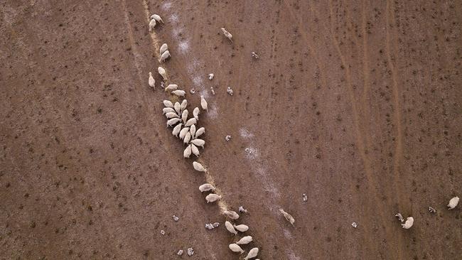
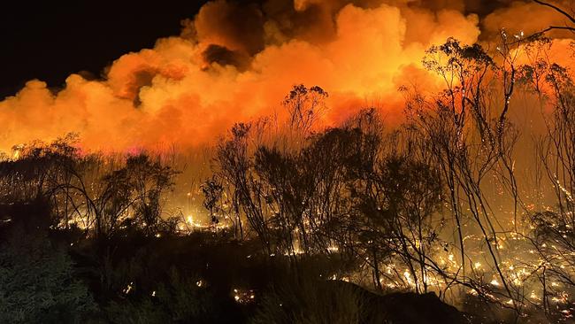
Queensland could also see less cyclones and increased risks of bushfires and drought.
However, drought may not occur for a number of years due to the high rainfall experienced during La Nina.
“Droughts take a long time to develop and as we have been experiencing wetter than usual conditions, it should hold off things for a while,” forecaster Justin Noonan said.
“However, there is a lot of grass vegetation and when they dry up they can burn very quickly. We saw this in the Western Downs fires earlier in the year.”

The Bureau’s Dr Andrew Watkins said the majority of Australia is set to experience warmer than average temperatures and a drier climate.
However, the northern wet season and tropical cyclone season will continue over the coming months.
“The northern wet season, including the tropical cyclone season, for Northern Australia continues during March and April, so there remains the chance of tropical weather systems bringing heavy rains at times to the north,” he said.
What is El Nino
El Nino and La Nina are conflicting climate drivers which influence Australia’s weather.
They are a part of a natural cycle known as the El Nino-Southern Oscillation or ENSO for short.
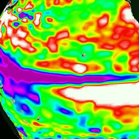
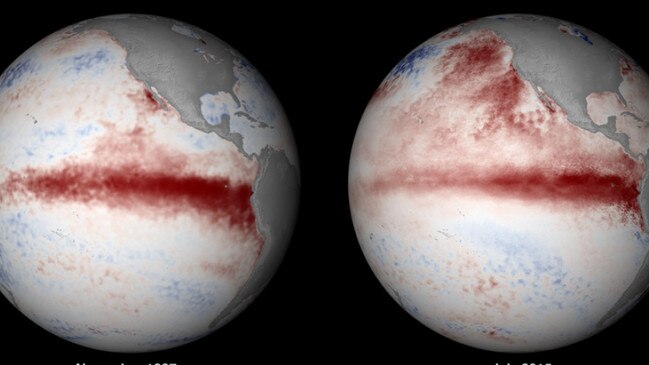
They describe sustained periods of warming (El Nino) or cooling (La Nina) in the central and eastern tropical Pacific.
Since 1900 Australia has experienced 27 periods of El Nino.
An El Nino weather pattern is most commonly associated with hotter than average temperatures (usually 0.8C warmer) as well as a continuous dry period. However, BOM has ensured that despite reduced rainfall predicted, a drought is not on the cards for the near future.
Reduced rainfall during El Nino systems are most commonly experienced in winter through to spring.

Weather typically associated with El Nino
- Reduced rainfall
- Warmer temperatures
- Increased frost risk
- Shift in temperature extremes
- Reduced tropical cyclone numbers
- Later monsoon onset
- Increased fire danger (especially in southeast Australia)
- Decreased alpine snow depths
What causes El Nino
El Nino is caused by warming sea surface temperatures in the central and eastern tropical Pacific Ocean. This causes a shift in atmospheric circulation.
BOM monitors the change in ENSO patterns to determine whether Australia is experiencing a

La Nina or El Nino through sea temperatures, both at the surface and sub-surface, variations in trade wind and strengths, atmospheric pressure and ocean currents.
The occurrence of an El Nino requires ocean and atmospheric anomalies to come together and become self-reinforcing.
In this case, BOM are reporting a 50 per cent chance of a El Nino weather event occurring by the end of the year and therefore have declared an El Nino watch.
The significant impacts that El Nino and La Nina can have across Australia make forecasting these events important for agriculture, businesses and communities.


