
Summer swelter as temps soar past 40C, storms ready to strike
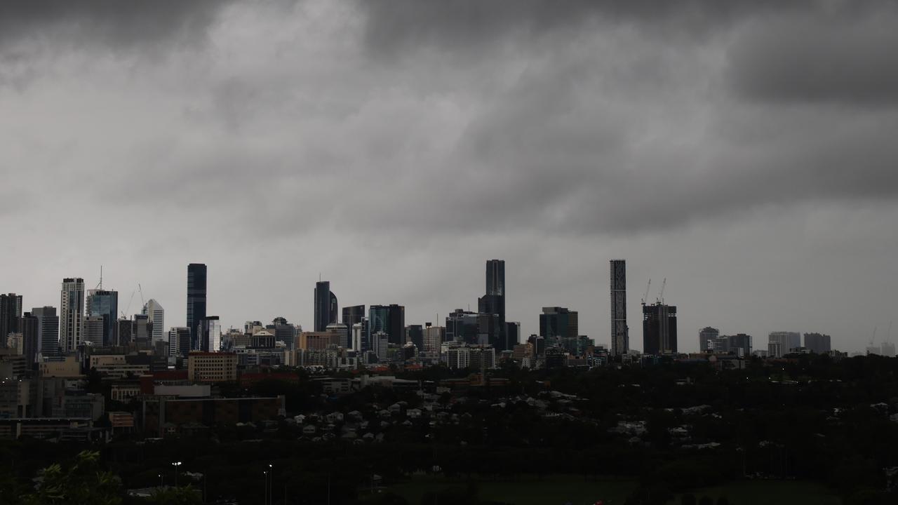
Storms rolled through parts of Queensland on Tuesday, with more than 50mm of rain falling in half an hour in the north and inland temperatures surpassing 40C. The southeast remains on storm watch Wednesday.
QLD weather news
Don't miss out on the headlines from QLD weather news. Followed categories will be added to My News.
Storms rolled through parts of Queensland on Tuesday including the southeast, with more than 50mm of rain falling in half an hour in the north and inland temperatures surpassing 40C.
The southeast remains on storm watch Wednesday.
Severe thunderstorm warnings for large hailstones and damaing winds had been issued for Somerset, Brisbane, Moreton Bay and Ipswich council areas after storms first started rolling through from about 5.30pm.
A more general warning for large hailstones and damaging winds for the southeast coast, Northern Goldfields and Upper Flinders and Central Highlands and Coalfields forecast districts was also cancelled Tuesday night.
The Bureau said 53mm of rain was recorded at Doongarra Rd (south of Charters Towers) in the 30 minutes to 5.47pm.
Severe thunderstorms are possible for Wednesday in multiple areas including the southeast, Capricornia and Wide Bay and Burnett regions, according to the Bureau.
It comes as other regions sweltered through 40C+ temperatures amid heatwave conditions.
The highest temperature in the state on Tuesday was 44.5C at Birdsville, which was recorded at 3.25pm.
Multiple other regions reached maximum temperatures of more than 40C including Longreach, Winton, The Monument, Urandangi, Thargomindah, Ballera and Windorah.
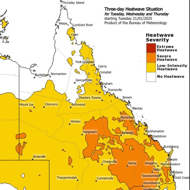
It comes as the Bureau of Meteorology has formally issued a heatwave warning for Queensland.
An Extreme Heatwave Warning is currently active for the Southeast Coast district, while a Severe Heatwave Warning is active for the Northern Goldfields and Upper Flinders, North Tropical Coast and Tablelands, Herbert and Lower Burdekin, Central Coast and Whitsundays, Capricornia, Central Highlands and Coalfields, Central West, Maranoa and Warrego, Darling Downs and Granite Belt, and Wide Bay and Burnett Districts.
The bureau warned for heavy rain to be the main hazard amid the heatwave conditions.
Maximum temperatures in the low to mid 40s were forecast across the centre and west of the state and are likely to persist for several days.
High fire danger ratings are also likely to be forecasted across southern parts of the state later this week.
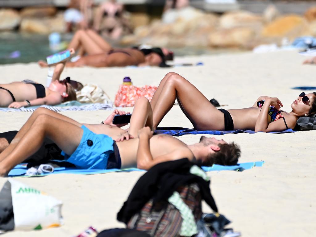
Meanwhile in SEQ, maximum temperatures are forecast to hit the mid to high 30Cs from Wednesday to Friday.
There is the reduced chance of some areas having temperatures in the high 30Cs, due to a south-easterly change which could move into the region on Thursday.
Along with the heat, several regions across Queensland also face the threat of severe thunderstorms throughout the week.
Severe thunderstorms are possible from the inland central coast to Atherton Tablelands and the tropical north on Tuesday, with a chance of heavy rainfall that may lead to flash flooding.
There is a chance of isolated severe thunderstorms with large hail and damaging winds forming along the east coast from Rockhampton to the Sunshine Coast on Wednesday. The southeast faces a peak in shower and thunderstorm activity on Thursday and Friday, as a low pressure trough approaches.

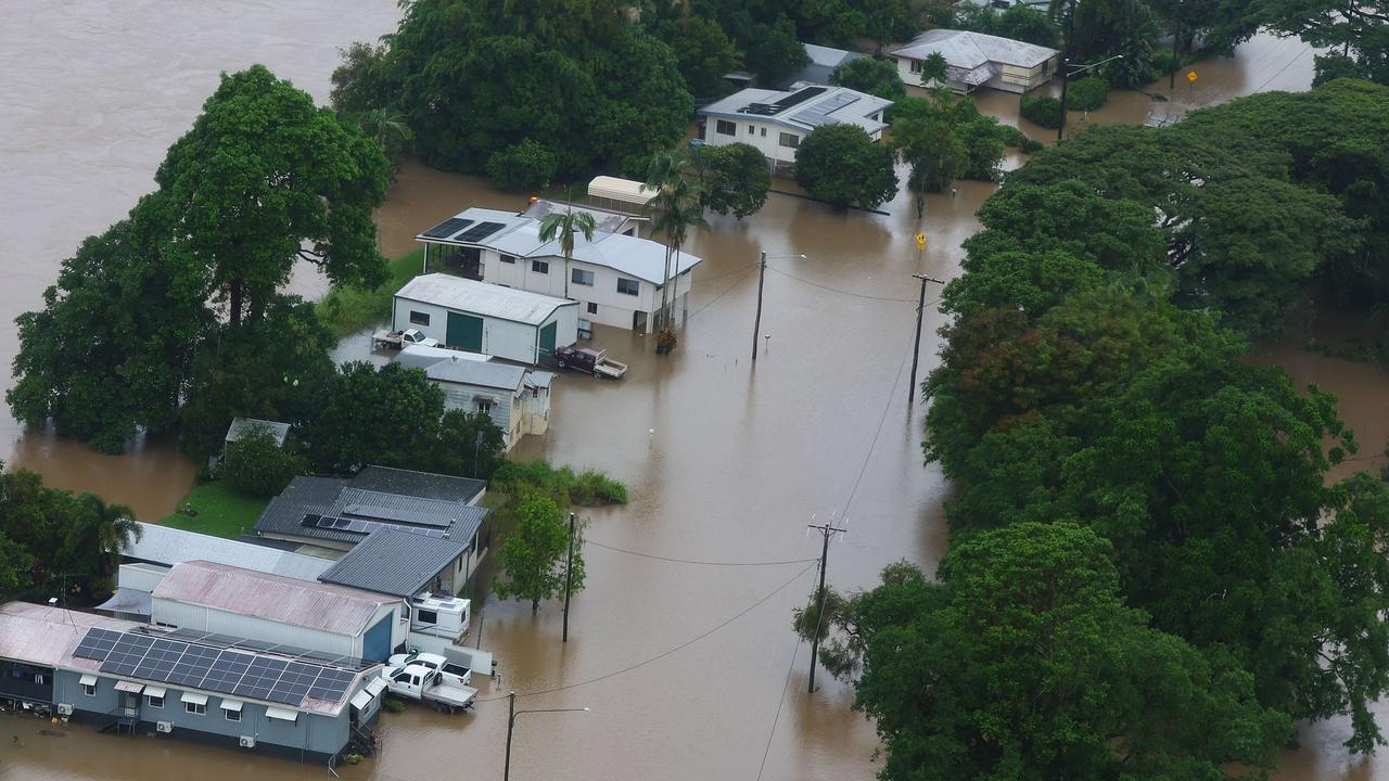
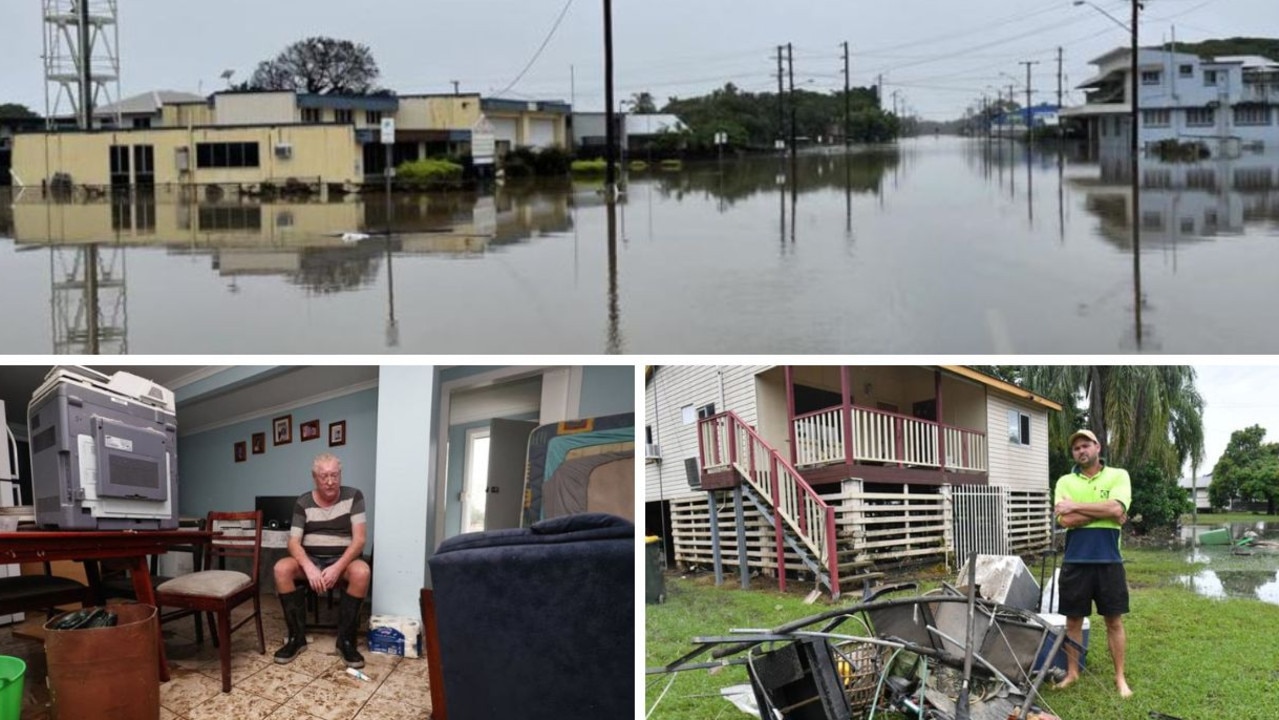
Insurance claims soar as residents return to flood-ravaged homes
Hundreds of homeowners across North Queensland have already filed claims for flood damage, but insurance companies say it’s only the tip of the iceberg with many yet to return home and some not likely to have insurance at all.
Flooded towns brace for 270mm deluge as devastating clean-up begins
Far north Queensland residents are bracing for more torrential rain in already inundated regions as they struggle to secure supplies and start the massive clean-up effort.