
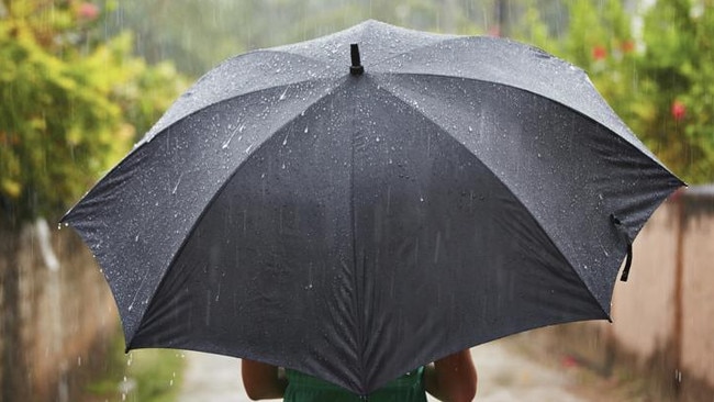
Weather: More rain, cooler conditions forecast
SUPERCELL storms have brought in good rainfall and triggered cooler conditions for the southeast corner, with more showers predicted into the weekend.
QLD News
Don't miss out on the headlines from QLD News. Followed categories will be added to My News.
EXPECT more rain around the southeast today with showers forecast around the region for the rest of the day.
Wednesday’s supercell storms have triggered cooler conditions for the rest of the week, though rainfall was patchy overnight.
The Bundaberg area collected the best falls on Wednesday and into the evening, with St Agnes collecting 47mm and Woodgate 40mm.
On the Sunshine Coast Bli Bli picked up most of the rain, recording 21mm.
It was hit and miss on the Gold Coast, with Molendinar receiving the best rainfall of around 36mm while parts of the Hinterland picked up as much as 27mm.
While the heavy downfalls are now moving out to sea, Brisbane is still likely to get some showers throughout the day, with up to 15mm forecast for Thursday.
Along the coastline suburbs could see up to 20mm, while inland Ipswich and Toowoomba are also expecting showers.
Saturday is still predicted to be the big rainfall day, with up to 35mm forecast for Brisbane. The maximum temperature is set to reach just 19C.

Woman behind woodchip murder fighting for part of victim’s estate
A Queensland woman serving life behind bars for the shocking woodchipper murder of her former partner wants a slice of his life’s net worth.
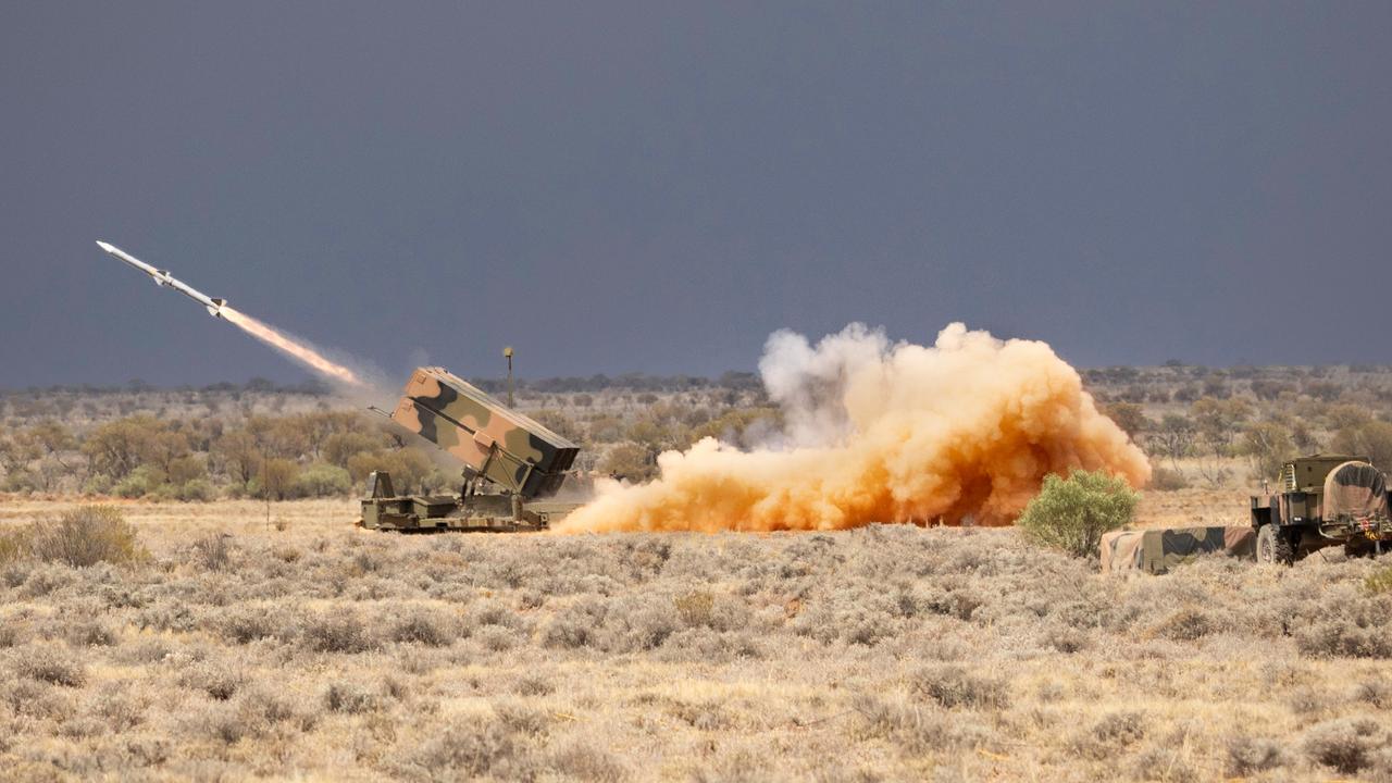
Australian army to debut new firepower in annual exercise
The Australian Defence Force is preparing to show off the nation’s new long-range missiles during the largest military exercise in the southern hemisphere in July.