
Lightning, hail and flash floods as more storms hit the South Burnett
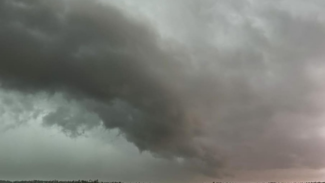
A supercell storm hit the South Burnett again on Thursday, with more reports of flash flooding, large trees down, intense lightning strikes and mass blackouts. And storm season is far from over. Latest photos, information:

South Burnett
Don't miss out on the headlines from South Burnett. Followed categories will be added to My News.
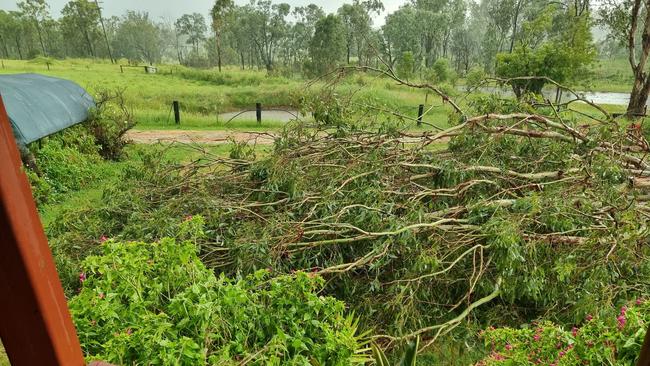
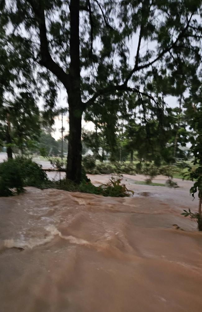
The South Burnett was hit with more severe storms on Thursday afternoon with reports of flash flooding, trees down, hail, strong winds and intense lightning strikes across the region.
The supercell hit around 4:30pm after a blistering hot day.
Proston was one of the areas hit hardest, and recorded the highest rainfall in the region - 79mm in an hour - and hail measuring 3cm across.
A total of 99mm of rain was recorded over 24 hours.
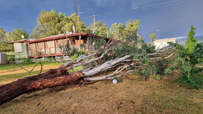
Wind gusts of 67kp/h were recorded in Kingaroy, the strongest in the region.
Ergon reported more than 280,000 lightning strikes within a 100km radius of Nanango, and more than 300,000 within a 100km radius of Gayndah.
More than 2000 properties in the South and North Burnett were impacted by power outages between 5pm and 7pm on Thursday, most experiencing “relatively brief outages”.
On Friday, there were still 245 properties in the South Burnett without power, most near Murgon, Proston and areas around the Bunya Mountains. Twenty three properties in the North Burnett region were also impacted.
Ergon area manager Liam Stephenson thanked residents for their support during the storm season, and acknowledged the “rough” weather the region had been experiencing.
“It’s already been a rough storm season in this area and it’s not over yet, so we are really grateful for your patience when our crews are working to get the power back on,” Mr Stephenson said.
“Rest assured we’ve got your back, rain, hail or shine, but it does take time to find faults and fix them so it pays to be prepared for power outages.”
Experts weigh in on Fraser Coast UFOs
D’Aguilar Highway upgrade announced, community feedback sought
A Bureau of Meteorology spokesman said more isolated storms are expected on Friday afternoon and over the weekend, with a risk of rain, large hail and damaging winds.
However, the storm front was tracking towards the coast on Friday evening and expected to move north of the South Burnett, towards Central Queensland, over the weekend.
Temperatures are expected to cool down over the weekend, with maximums in the low 30s expected.


League community rocked by sudden death of young player
The sudden death of a talented rugby league player has shattered the hearts of sporting fans with friends describing him as a ‘bloody good mate’ and ‘tremendous young man’.

Thick cloud cover to take sting out of cold snap
It has been a chilly start to winter with below average June temperatures across much of the Darling Downs and Lockyer Valley. While we have a brief reprieve today, how long it will last depends on the clouds.