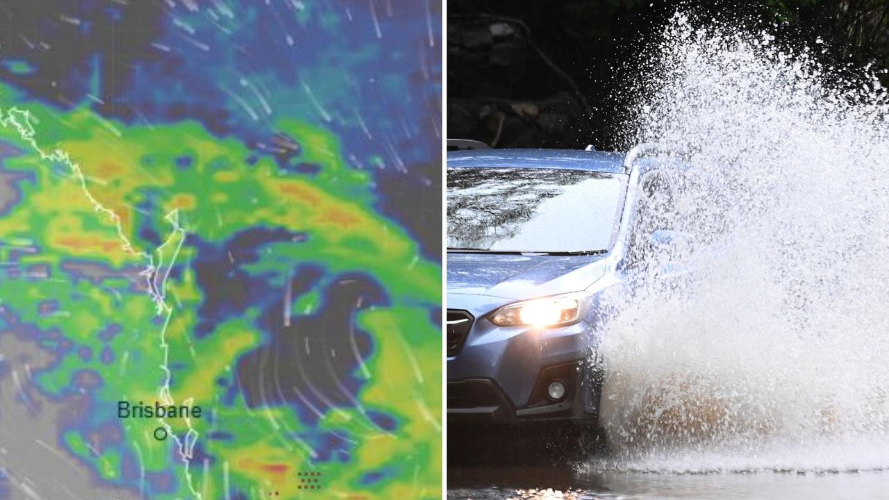
Roads closed across Brisbane after slow moving 97mm rain bomb
Several roads across Brisbane are closed off to traffic on Wednesday morning, after the heavy rainfall caused flash flooding after a slow moving rain bomb.

QLD News
Don't miss out on the headlines from QLD News. Followed categories will be added to My News.
Drier, cooler conditions were expected for the Brisbane region on Wednesday after the region was smashed by heavy rainfall on Tuesday afternoon.
On Tuesday afternoon, the Brisbane and Ipswich regions were in the firing line for widespread, heavy rain with the city recording up to 73mm.
Since 9am on Tuesday, East Brisbane and Bulimba also copped 70mm, Rosalie 72mm, Carbrook 76mm, and Steiglitz Wharf with 75mm.
Holland Park West saw the highest rainfall totals with 97mm.
The Bureau of Meteorology’s Sarah Scully said drier conditions were tipped for the coastal and Brisbane regions on Wednesday afternoon, with isolated showers and storms expected inland.
Several roads across Brisbane are closed off to traffic on Wednesday morning, after the heavy rainfall caused flash flooding including in Pullenvale, Bardon and Kenmore Hills.
The rain from Tuesday was expected to bring cooler conditions for Wednesday across the Brisbane and coastal regions.
“There’s moderate to heavy rain areas that are currently moving across, particularly about the Sunshine Coast this morning, those rain areas and showers across the south east coast will gradually ease and clear northwards throughout today,” the senior meteorologist said.
“However, there is a chance of an afternoon storm bubbling up again, most likely inland, though away from the coast.
“Most of the storm activity is actually expected around the Darling Downs and in the Granite Belt.”
Ms Scully said recent weeks of wet weather had river systems primed for flash flooding.
“The grounds across South East Queensland at the moment are very wet, so they’re responding really quickly to any rainfall,” she said.
“Even short bursts of moderate rainfall will be able to result in flash flooding just due to the soils being so wet.
“There was heavy rainfall across the Warrill creek catchment, now that has caused the creek levels to rise to minor flooding.
”An initial minor flood boarding has been issued, but it is expected to peak below the minor flooding level later this morning.
“But what it does highlight is just how swollen the catchments and the creek systems are at the moment, and the grounds are very wet due to recent rainfall over the last few weeks.”
On Thursday, Ms Scully said there was a slight chance of showers, with more active storm activity going into Friday and Saturday.


