
How drones can map farmers’ path to success
Project Catalyst breaks down benefits of high-tech drones to boost farmers’ bottom lines.

Mackay
Don't miss out on the headlines from Mackay. Followed categories will be added to My News.
PRECISION agriculture is taking to the skies with drones giving farmers a technological edge by taking photographs to produce detailed crop maps.
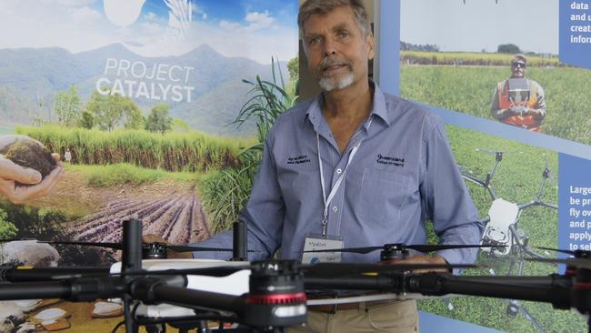
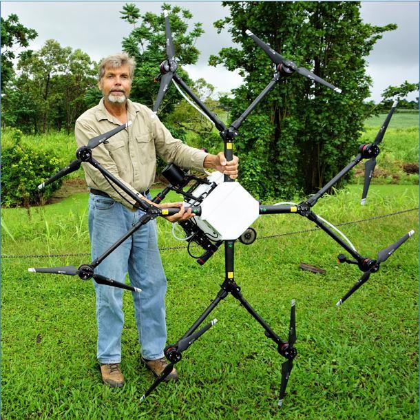
Department of Agriculture and Fisheries cane extension officer Marcus Bulstrode said off-the-shelf drones costing about $2500 were capable of capturing highly detailed photographs.
“One photograph can be interesting, but the most powerful tool is when I get all of those photographs – it can be hundreds from a flight – and I stitch them altogether into a single map of the block,” Mr Bulstrode said.
He said the maps were detailed enough to see an object 2cm in length and they allowed farmers to visually discern crop variabilities and work out the reasons as to why.
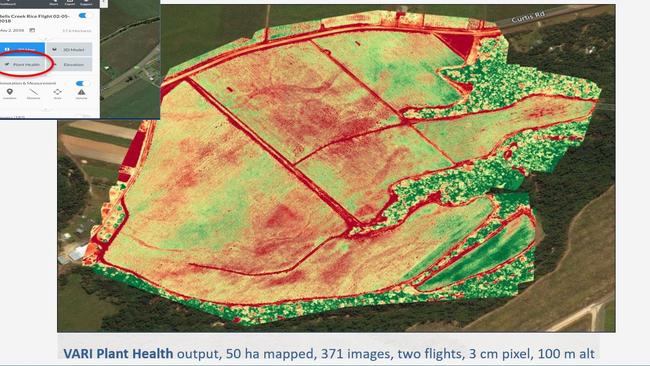
“Some of the benefits that can come from it are identifying poor yielding areas, low and poorly drained zones, identifying pest and disease problems and helping to select where to take soil samples,” Mr Bulstrode said.
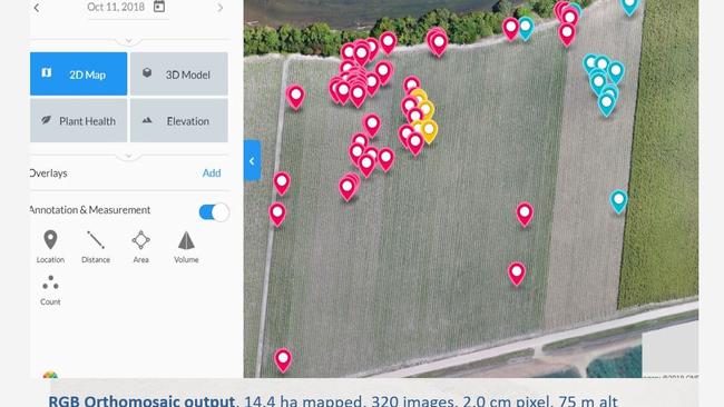
Another way drones were being used on farms was to map weeds and then apply precision spraying.
He cited an example where Panama disease (TR4) was detected among a banana plantation without anyone entering the farm by launching the drone from an adjacent hillside.
Mr Bulstrode said DAF was conducting a three year trial of a spray drone that can fly straight over the target weed to precisely deliver herbicide.
“It’s a very smart and accurate machine,” he said.
“Though you’re only flying for 10 minutes which seems a very short period of time, you’ve done a lot of the background work to reduce the amount of time the machine’s in the air.”
Mr Bulstrode was a keynote speaker at the Project Catalyst event held at the Mackay Entertainment and Convention Centre last week.
Project Catalyst is a partnership between more than 70 Queensland cane growers, Natural Resource Management groups, the Australian Government, WWF and the Coca-Cola Foundation.
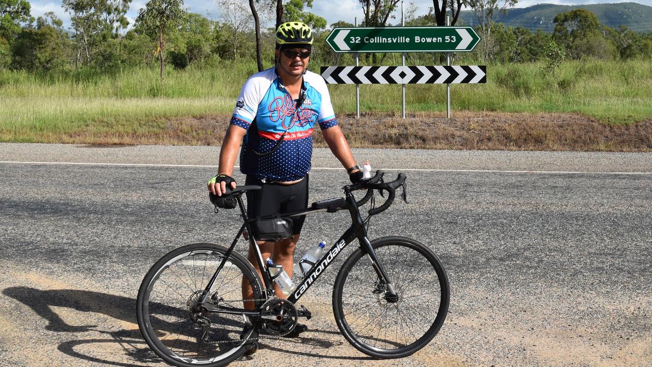
‘Hard on the family’: Cancer hits home for charity bike rider
Riders will peddle 1000km of the North Queensland coast to help ease the anxiety, isolation regional cancer patients can face.
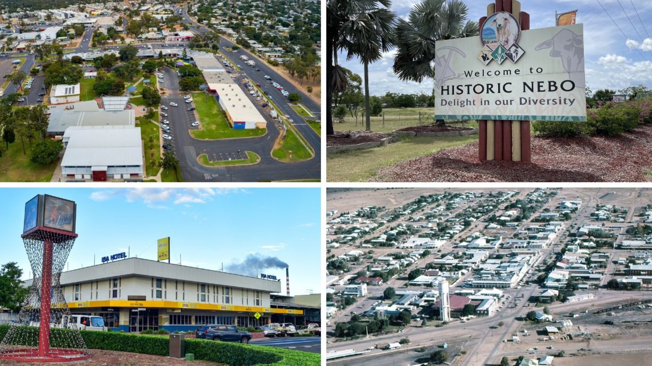
Tiny Qld towns where you can earn up to $1500 a week more than average Queenslander
These are the remote and regional Queensland towns where locals are making up to almost double what the average Queenslander makes in a week. MAPPED