
Cyclone’s devastation hits 800+ homes in rezoning push
Cyclone Debbie’s flood zone legacy: ‘Mother nature can do amazing things when it comes to dumping water’
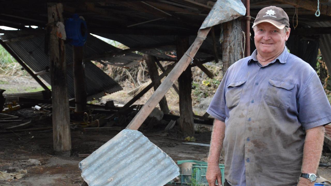
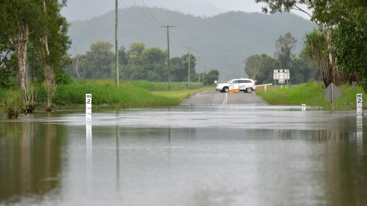
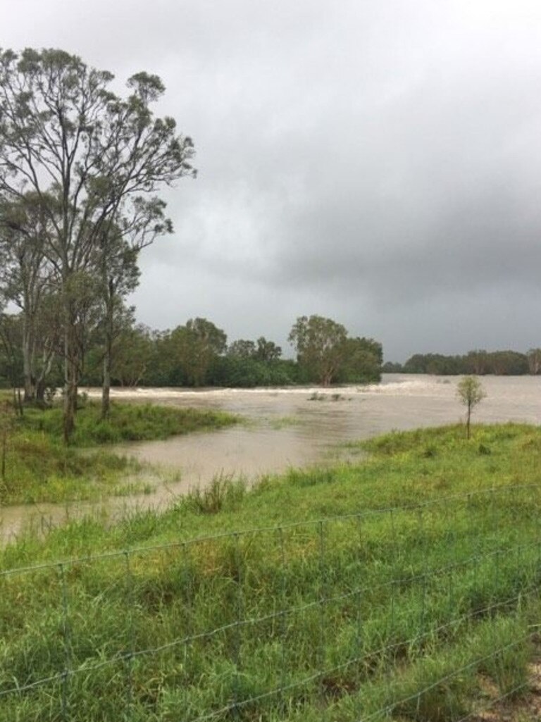
AS CYCLONE Debbie battered down, Mackay residents watched as water spewed from flooded creeks.
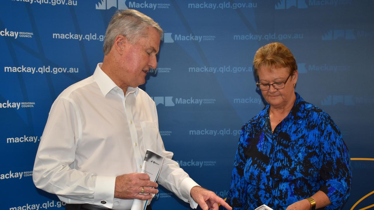
Mackay Regional Council Mayor Greg Williamson said residents at Sandy Creek and Rocky Dam Creek were hit with the full force of mother nature's fury.
"Mother nature can do amazing things when it comes to dumping water," Cr Williamson said.
"We live in north Queensland and it rains and sometimes it rains a heck of a lot.
"We just need to be prepared for it."
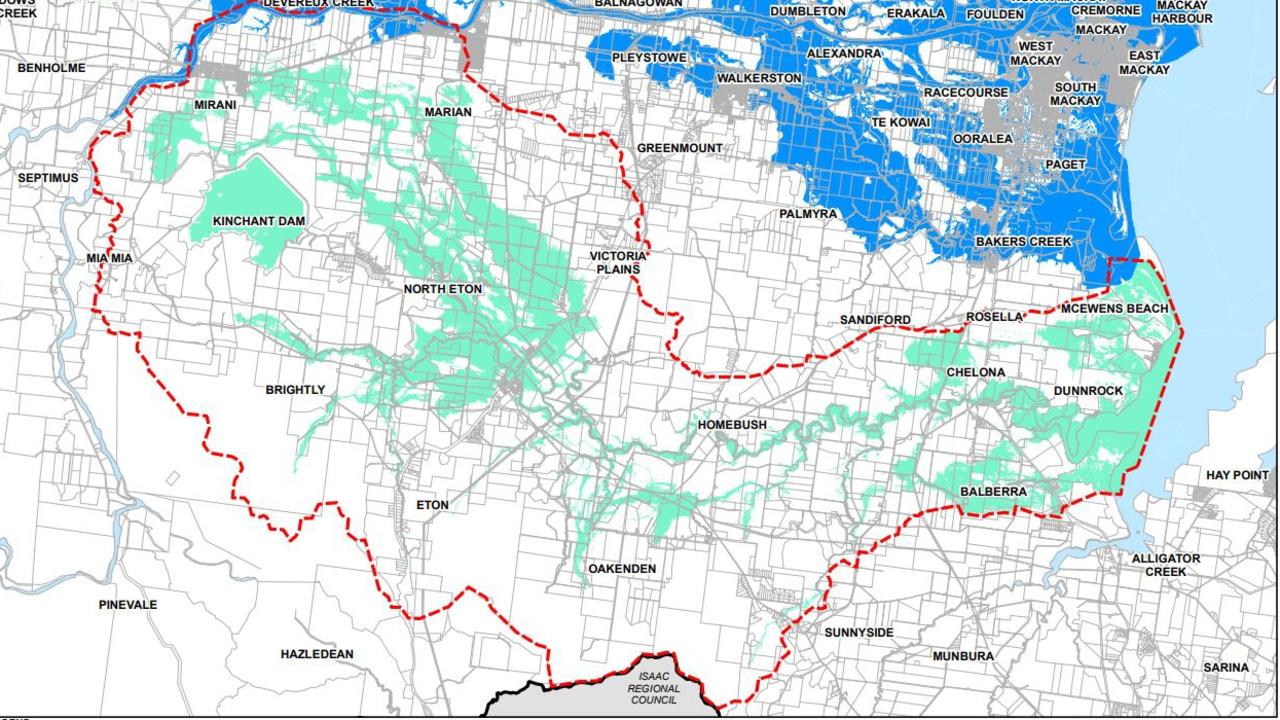
At Wednesday's meeting new flood mapping data was incorporated into the council planning scheme to cement warnings for 872 land owners of the flood risks on their properties.
The new flood zones identified 712 Sandy Creek properties and 160 Rocky Dam Creek homes and businesses that would be at risk if the region was hit by a one in 100 year flooding event.
Read more:
HOMES AT RISK: 800+ properties rezoned as flood area
15 things you missed from Mackay council meeting
Leaders set out competing $23m manufacturing promises
Cr Williamson said when Cyclone Debbie hit, only basic flood mapping covered the Sandy Creek and Rocky Dam Creek districts, meaning the council was unprepared for its wrath.
"(It flooded in) areas that had never flooded in a lifetime," he said.
"We'd never seen it to that extent before.
"That really had us back to the drawing boards about what we needed to do as a council to safeguard out community in the future."
Three wet seasons later and he said the council had finally incorporated the lessons of Cyclone Debbie into the planning scheme.
The flood zone means new residential care facilities, libraries, museums, ambulance stations, hospitals, disaster management facilities, waste and water plants and power stations would not be built on the land.
And any new developments would also need to pass hydraulic and hydrology reports before they were approved.
Subscriber benefits:
Your daily dose of Harry Bruce cartoons
Five ways to get more from your digital subscription
WATCH: Your guide to reading the Daily Mercury online
Cr Williamson said residents had not yet complained to the council about the rezoning and its potential impact on property prices or insurance costs.
"We consulted, we've taken into account their feedback on the flood studies and the flood impact in the last flood that we had," he said.
Cr Williamson said flood monitors would also track the waters at Sandy Creek and Rocky Dam Creek.
"It gives us an ability for early warning, which we didn't have in Tropical Cyclone Debbie," he said.
"The earlier you can get the warnings to people the more people we can save, the more animals we can save by getting them out."
Cr Williamson said all major urban areas had been mapped, but the flood maps were a living document and would have to be amended as the flood plains changed.
He said Mackay's flood mapping program factored in the impact of climate change, modelling for rising sea levels and more severe storm seasons.

‘I leave this darkness with you’: Survivor’s powerful words to brutal rapist
