
BOM issues early flood warning for Mackay, Issac and Whitsunday regions
A severe weather warning for Mackay and Whitsundays has been cancelled as access to a number of roads is blocked because of flooding. Read the latest.
Community News
Don't miss out on the headlines from Community News. Followed categories will be added to My News.
A severe weather warning for Central Region and Whitsundays has been cancelled as access to a number of roads is blocked because of flooding.
The Bureau of Meteorology says the immediate threat of severe weather has passed, but the situation will continue to be monitored and further warnings will be issued if necessary.
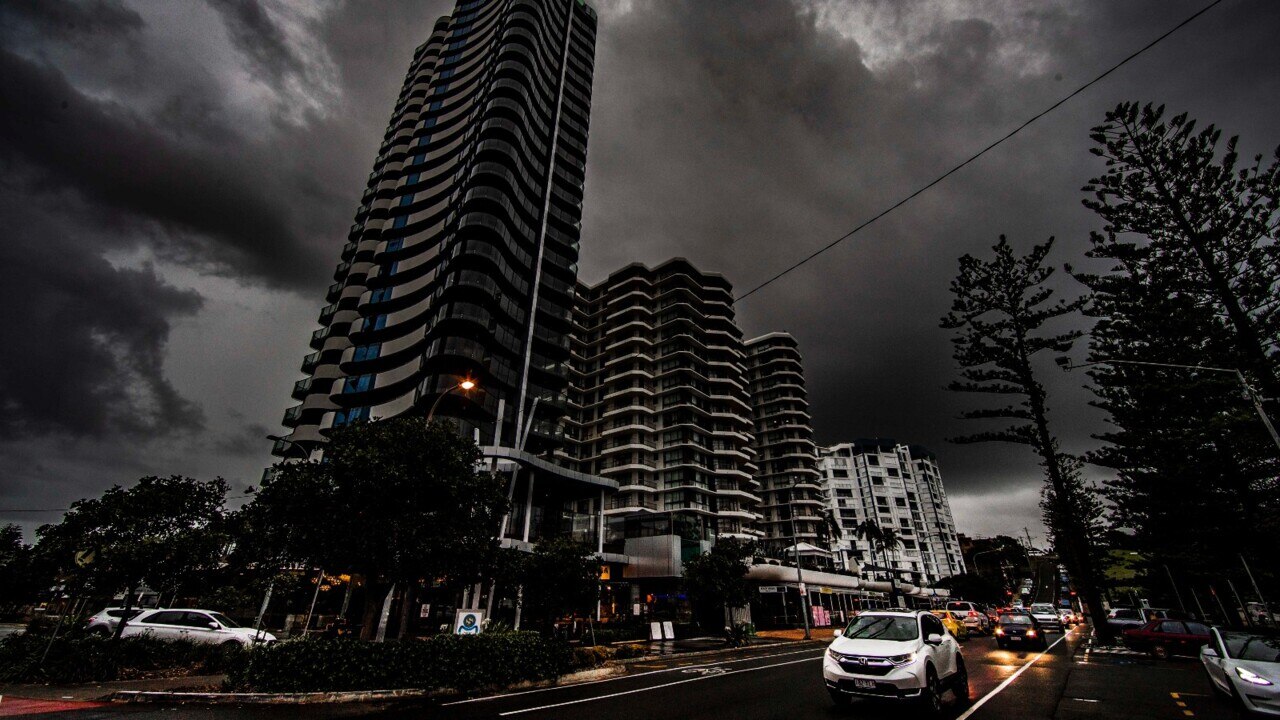
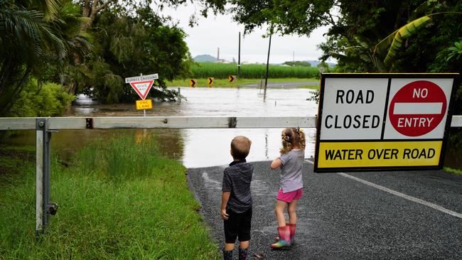
A number of roads across Mackay and the Whitsundays are closed after heavy rain overnight.
Golf Links Road and Primavera Boulevard at Beaconsfield and Hicks Road and Windmill Crossing at Glenella are closed to all traffic because of flooding.
Marian Eton Road at Sandy Creek Floodway is closed to all traffic and there is water over Neills Road at Reliance Creek at Habana. It is also closed to all traffic.
>FLOOD TRAGEDY: Woman dies, passengers escape car submerged in floodwaters
Mt Ossa Seaforth Road is closed to all traffic and motorist are urged to avoiding driving in floodwaters. Emergency crews are currently searching for a suspected missing person after a vehicle was washed away in floodwaters.
As of Tuesday afternoon Farleigh Dumbleton Road at the Maraju Yakapari Rd end were impacted by flooding.
There is also flooding at Bakers Creek at Walkerston and Cattle Creek at Frank Neilsen Bridge.
Crofton Creek Bridge under water impacting Gregory Cannon Valley Rd at Sugarloaf. Lanes are blocked in both direction and drivers are urged to use a different route.
And Collingvale Rd is flooded at the crossing at Gregory River. As a result the road is closed to all traffic.
Up to 250mm of rain was predicted to hit the Mackay, Isaac and Whitsundays region on Wednesday and as much as 80mm on Thursday with moderate to major flooding now considered likely.
The Bureau of Meteorology’s Mackay rainfall gauge recorded 28.8 mm from 9am Monday (May 9) to 9am Tuesday (May 10), but across the region, community members reported as much as 60mm.
The Hicks Road/Windmill Crossing in Glenella, and Golf Links Road/ Primavera Boulevard in Beaconsfield are the first two local roads to be closed from flash flooding.
More Mackay and Whitsunday news:
>> Dawson electorate: Everything you need to know for Election 2022
>> Three generations of bowmen prove archery is for everyone
>> ‘Mr Sugar’ says Mackay set for another century of green
>> ‘Fed him to the sharks’: Witness describes alleged boat murder
Bureau of Meteorology hazard response co-ordinator Brooke Pagel said it would “be a significant event”.
“It will be quite intense, heavy rainfall and it’s over such a broad area as well, it’s quite widespread,” Ms Pagel said.
“There’s potential for prolonged and significant rainfall from Tuesday next week, particularly over eastern and central Queensland.
“The whole eastern seaboard from about Cairns down to Gladstone could see scattered, widespread rainfall of about 20 to 40mm but isolated 100 to 200mm is possible.”
St Francis Xavier Catholic Primary School West Mackay advised it would be open Wednesday but parents who felt more comfortable keeping children at home should do so.
Students attending school could wear joggers or wellies.
“Don’t panic if your child is doing NAPLAN, we have time for make up tests,” the school said.
“Please ensure you have your phone with you in case the school needs to send a text.
“We do have a plan ready for the pick up zone if we receive heavy rain at that time, but it will require patience from parents.”
Alligator Creek State School on Wednesday morning said there was no changes to bus routes by the provider.
Proserpine State School cancelled its fete and P&C meeting for Wednesday night, and parents of students are urged to check their child’s bus emergency plan was in place.
Moranbah State School cancelled its planned Year 4 camp at Fairbairn Dam outside Emerald because of the weather.
“We really want the students to have the best possible time on camp,” a letter to parents read.
“As families we wouldn’t camp in these conditions with just a couple of kids.
“It would be unfair on the staff to manage a camp in these conditions for a whole year level.”
The camp is expected to be rescheduled to potentially term four.
Organisers of next weekend’s Italian Street Party, which has not been held since 2019 because of Covid, will be hoping the rain clears up before the weekend.

Ms Pagel said a localised flash flooding risk would increase in those areas that experienced the more intense thunderstorms.
She advised the community should be on the lookout for creeks, streams or waterfalls that were already saturated, as they were likely the areas to respond quickly in the case of heavy rainfall.
A flood watch is being considered at multiple catchments across the region and will likely be declared over the weekend.
The Bureau of Meteorology warned heavy rainfall may lead to flash flooding over parts of the Herbert and Lower Burdekin, Central West and Central Highlands and Coalfields for the remainder of Wednesday.
“Locally intense rainfall which may lead to dangerous and life-threatening flash flooding is also possible with thunderstorms during this period over southeastern parts of the Northern Goldfields and Upper Flinders,” the Bureau of Meteorology warned.
“Six-hourly rainfall totals up to 150mm are possible.”
Ms Pagel said there were two central factors contributing to the rainfall projections across the state.
“We’ve got a blocking-high, a high pressure system down in the Tasman Sea and it’s extending a ridge over the state,” she said.
“What that’s doing is enhancing that onshore flow from the ocean along that eastern coastline and that’s interacting with a deepening trough over Central Queensland, basically drawing all that moisture well inland.
“That moist air mass is basically streaming in from the ocean and it’s going to bring all that rain onto the land.”
The Mackay Local Disaster Management Group provided the following reminders for the community:
Tune in to warnings for information and advice.
Regularly check the Bureau of Meteorology website, council’s emergency dashboard and council’s Facebook page for updates.
Be prepared to act immediately.
Check for road closures by calling Transport and Main Roads on 131 940 or visit 131940.qld.gov.au and visit council’s emergency dashboard.
Fill as many water containers as possible, including the bath and sinks.
If your property is in a low-lying area, prepare sandbags. A list of sites can be found on the council's website and the emergency dashboard under Emergency News
Top up your vehicle’s fuel tank.
Prepare your property. Move household items up high.
Make sure you have an emergency kit, pet emergency kit and evacuation kit ready (find friends and relatives in high places). Checklists and advice can be found in the Emergency Action Guide through the council’s website and emergency dashboard
Check on elderly or disabled neighbours. Make sure all neighbours are aware of what’s happening.
Ensure all chemicals that may react with water are within a waterproof container and are moved to a higher level.
In the case of an emergency, Queensland SES’ number is 132 500.


Join the conversation

‘He is free now’: Family mourns beloved father, adventurer
A beloved fisherman and father died after sustaining critical injuries in a crash on the Bruce Highway. Now his family need support to give him a special send off.
Read more
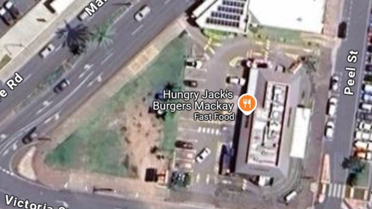
Why burger spot is ditching kids’ playground
A Mackay CBD fast-food restaurant is ditching its playground despite growing larger. Does Mackay need more fast food developments? VOTE NOW.
Read more