La Nina comes to an end, but experts say not for long
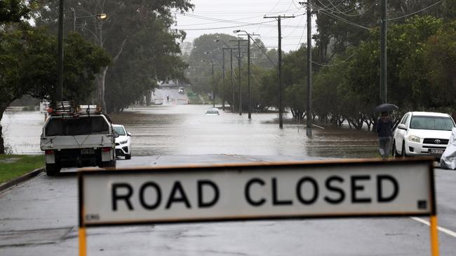
It’s the weather phenomenon that’s caused so much personal pain and hundreds of millions of dollars in damage in Queensland and interstate. La Nina is now officially over, but experts say there could be a sting in the tale.
QLD News
Don't miss out on the headlines from QLD News. Followed categories will be added to My News.
The weather pattern responsible for record rain and floods across Australia has officially ended, but there are warnings that it could soon return.
With observations from across the Pacific region indicating a neutral El Nino-Southern Oscillation (ENSO) level, neither La Nina nor El Nino are likely to persist during the southern hemisphere’s winter.
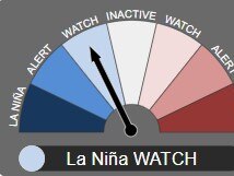
The Bureau of Meteorology’s head of long-range forecasting, Dr Andrew Watkins, said the Bureau has been monitoring the weakening La Niña conditions over several weeks, downgrading from a current La Nina to a La Nina Watch.

The declaration of a La Nina Watch means that while the 2021-22 La Nina has officially ended, there is a 50 per cent chance of it reforming before the end of the year – approximately double the normal likelihood.
“A La Niña WATCH does not change the outlook of above average rainfall for most of Australia over coming months,” Dr Watkins said.
“The Bureau‘s long-range outlook remains wetter-than-average, consistent with model outlooks from other global forecast centres, reflecting a range of climate drivers including a developing negative Indian Ocean Dipole (IOD) and warmer-than-average waters around Australia.”

While a La Nina spanning two years is relatively common, a system spanning three years has only occurred three times before, in 1954-57, 1973-76 and 1998-2001.
The most recent La Nina, which kicked off in November 2021, has been held responsible for a number of severe weather events across the eastern seaboard in the time since, including the recent devastating Queensland and New South Wales flooding emergencies.


