
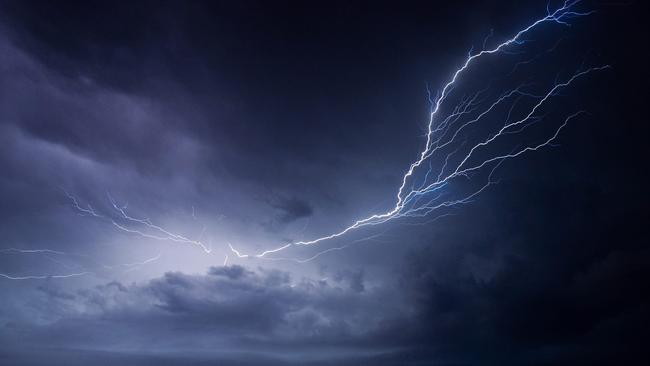
More storms are forecast to hit Ipswich and the southeast this week
Falls up to 20mm were recorded as storms rolled through the region late Monday night
Ipswich
Don't miss out on the headlines from Ipswich. Followed categories will be added to My News.
IPSWICH and the surrounding region could be in for more storms this week, following on from some isolated heavy showers on Monday evening.
Falls ranging from 10-20mm were recorded as thunderstorms rolled through the southeast late Monday and into early Tuesday morning.
Areas closer to Ipswich generally received the best of the downpour, with Karalee recording 20mm, and Goodna 19mm.
Gatton and Wivenhoe Dam copped a bit of a shower, each recording about 15mm.
The good news is that Monday’s storms were not the last of the wet weather.
The Bureau of Meteorology’s current forecast is for more storms to hit the region late Tuesday and again from Wednesday morning.
At this stage, Wednesday appears to be our best chance of solid rain, with the forecast indicating a 95 per cent chance of rain and falls up to 35mm at this stage.
Forecasters say storms on Tuesday and Wednesday could be severe.
A cooler change looks likely to come through on the back of the storms, with overnight minimum temperatures set to drop below 10 degrees from Saturday morning.
Originally published as More storms are forecast to hit Ipswich and the southeast this week

The Sunday Quiz: What is the tallest waterfall in the world?
Peter Dutton became Opposition Leader in what year? Which car firm makes the Camaro model? Put your knowledge of trivia to the test with The Sunday Quiz.
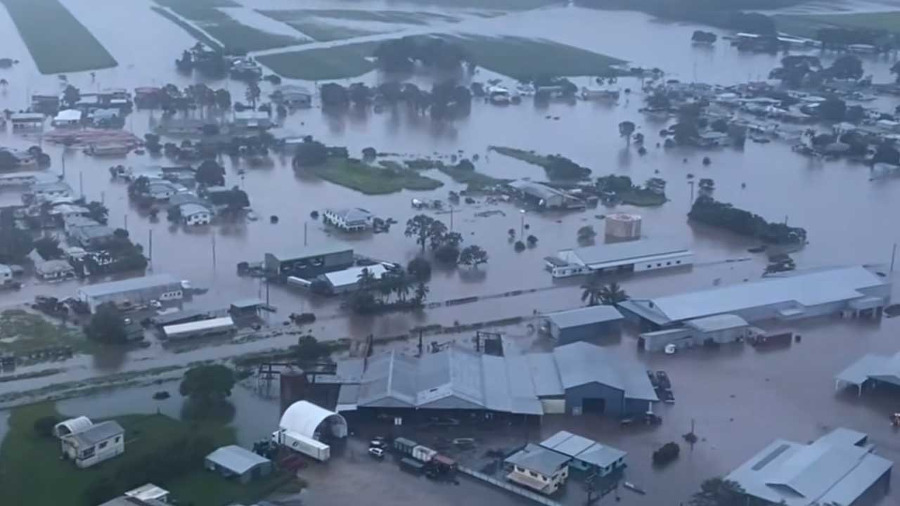
Hell and high water: Inside ground zero of North Qld’s flood nightmare
In the dead of night, as most of Ingham slept, a torrent descended. Nothing will ever be the same again. This is the untold story of how the North Qld spirit conquered unimaginable tragedy and heartbreak.