
Ipswich dodged the worst of severe storms after ‘golf ball-sized’ hail fell in the Lockyer Valley
More than 40mm of rainfall was recorded at one Ipswich suburb after late-night storms
Ipswich
Don't miss out on the headlines from Ipswich. Followed categories will be added to My News.
FROSTY mornings and cooler days are in store after storms descended on Ipswich on Tuesday night, bringing a smattering of hail.
It was the second night in a row the region received storms and, according to Bureau of Meteorology’s Shane Kennedy, the risk of severe storms remained on Wednesday.
Although the worst of it hit the Lockyer Valley’s western corners, hail reached some parts of Ipswich.
LOCAL NEWS: Woman’s leg crushed by car
“The thunderstorms moved over the Lockyer Valley but luckily weakened a bit by the time they moved over Ipswich itself,” Mr Kennedy said.
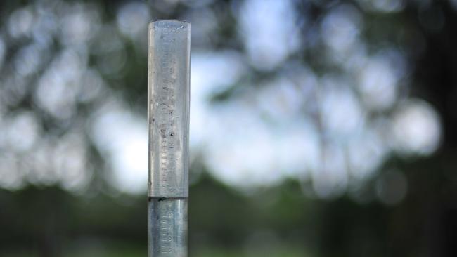
“We saw golf ball-sized hail recorded at Helidon up to 4cm around 8.30pm last night.”
Mr Kennedy said two bouts of wild weather rippled across the region.
“The first came through about 9pm and a second, stronger one went through about midnight and hung around for an hour or two, clearing by 1am,” he said.
LOCAL NEWS: Big name sets up shop at Yamanto
Ipswich recorded rainfall mostly in the 5mm to 20mm range, with Springfield Lakes receiving the most in the region, recording 44mm.
Temperatures are expected to drop by the weekend, with Sunday morning likely to reach a low of 6C.
“We’re expecting it to clear off overnight by midmorning tomorrow,” Mr Kennedy said.
“It will still be a bit warm over the next day or two but, by the weekend, it should really start to cool down in Ipswich.
Friday is expected to drop to 25C, with temperatures cooling to the low 20s on the weekend and a low of 6C on Sunday morning.
Read more news by Ebony Graveur.
Originally published as Ipswich dodged the worst of severe storms after ‘golf ball-sized’ hail fell in the Lockyer Valley

Queensland’s gifted students thwarted by lack of options
Queensland’s most gifted students are being held back by a lack of selective schools, particularly for regional students, education experts say.
Ipswich sale and auction results, week ending February 15
See the latest auction and sales results in Ipswich for last week.