
WARNING: Gympie on flood watch this weekend
BOM predicts flash flooding, damaging winds, heavy rainfall, abnormally high tides and dangerous surf for Saturday
Gympie
Don't miss out on the headlines from Gympie. Followed categories will be added to My News.
UPDATE:
GYMPIE is one of nine locations on flood watch this weekend after the Bureau of Meterology has issued a severe weather warning for the Southeast Coast and parts of the Wide Bay.
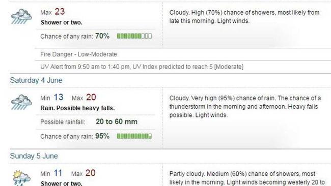
Flash flooding, damaging winds, heavy rainfall, abnormally high tides and dangerous surf are expected on Saturday when a 24 hour total of 30 to 150mm rainfall is likely over inland parts of the southeast, with falls in excess of 250mm possible at the coast.
Damaging winds, with peak gusts of around 90km/h, are possible near coastal areas and heavy falls are also possible today with thunderstorms, the BOM warns.
The severe weather comes on the back of a strong upper trough moving east into the southern interior of the state today, shifting into the southeast on Saturday, before moving off the southern coast during Sunday.
RELATED: Southeast Queensland will be first to receive deluge
The heavy rain areas should contract southeast during Saturday, gradually clearing the Gold Coast late Saturday night or very early Sunday.
The trough or low will also generate large swells as it slips southwards during Saturday, with dangerous surf conditions and significant beach erosion developing about exposed beaches between Fraser Island and the Gold Coast during Saturday, contracting southwards out of the Fraser Coast waters by Sunday.
Water levels on the high tide are likely to exceed the highest tide of the year about exposed beaches between Fraser Island and the Gold coast on Saturday and Sunday, particularly on the high tide Saturday night and Sunday morning.
RELATED: How to drive in the wet
A Flood Watch is current for southeast Queensland from Fraser Island to the NSW-QLD border. The BOM said locations which may be affected are Gympie, Hervey Bay, Warwick, Gold Coast, Toowoomba, Brisbane, Maroochydore, Gympie, Stanthorpe and Caboolture.
Queensland Fire and Emergency Services advises that people should:
* Move your car under cover or away from trees.
* Secure loose outdoor items.
* Seek shelter, preferably indoors and never under trees.
* Beware of fallen trees and powerlines.
* Never drive, walk or ride through flood waters. If it's flooded, forget it.
* Keep clear of creeks and storm drains.
* Surf Life Saving Australia recommends that you stay out of the water and stay well away from surf-exposed areas.
* Check your property regularly for erosion or inundation by sea water, and if necessary raise goods and electrical items.
* For emergency assistance contact the SES on 132 500.
Severe thunderstorm warnings will be issued as necessary.
THURSDAY:
GYMPIE could be in for up to 60mm of rain and possible flash flooding over the next couple of days as it sits on the perimeter of some heavy predicted rainfall for the south-east.
According to forecasters, Saturday is set for a drenching with an upper trough soaking Queensland from Rockhampton to St George.
Bureau of Meteorology forecaster Gordon Banks said the entire south east corner of the state was going to be "reasonably wet".
"Most of the rain will be south but I'd certainly include (the Gympie region) in the area that needs to be wary of some very heavy rainfall," he said.
"The storms will be a part of it, but it's a much bigger event.
"It's very unstable so we may see some thunderstorms mixed in with the rain and that could lead to flash flooding," he said.
Mr Banks said one trough had already moved through the region, bringing light rain overnight.
But the news isn't all bad for the weekend.
"The good news is that by Sunday we should have seen the weather clear off, then we're in for a period of westerly winds and dry, sunny weather that will go through most of the week."
Boaties should be cautious as the Bureau of Meteorology has issued a Marine Wind Warning.
The warning was issued at 8.25am EST and lasts until midnight tonight.
The warning is for the whole of Queensland, but it has been cancelled for the Peninsula and Cooktown Coasts.
The next Marine Wind Warning summary will be issued when required - keep an eye on bom.gov.au/qld/warnings
The total forecast rainfall map below shows rainfall predictions over the next 4 days, from today to Sunday.

Watch: Veteran’s heartbreak after pitbull kills loved pet at park
A Qld family is distraught after their jack russell-pomeranian cross was killed by a pitbull which also attacked and left one of them covered in blood at a popular dog park. VIDEO, PHOTOS.

Keith Pitt made Ambassador to the Holy See in shock announcement
Outgoing Federal MP for Hinkler Keith Pitt announced he would exit politics late last year citing “frustration” and policy disagreements, and hinted at the time that an undisclosed new job opportunity was among the reasons for his decision. Now we know what that was.