
The Gympie Regional Council has shut down flood level change rumours
The council stopped short of reviewing any details surrounding ongoing reviews of local flood mapping, which have been in talks for “over a year”.

Gympie
Don't miss out on the headlines from Gympie. Followed categories will be added to My News.
The Gympie Regional Council has shut down rumours of impending changes to the region’s flood levels, but stopped short of revealing any details about ongoing reviews of local flood mapping.
Rumours surfaced on social media last week that the council was in talks about potentially lowering the Gympie region’s flood levels, drawing plenty of commentary on community Facebook pages.
While a strong percentage of commentators seemed to support the idea of lowering flood levels, the rumours were denied outright by the council’s communications manager Sharna Rowley.
Ms Rowley said the council was instead in the middle of a review regarding the region’s flood mapping.
“No decisions regarding flood levels are being made within Council. Council is currently in the process of reviewing the region’s flood mapping, a long-term project which has been running for well over a year,” Ms Rowley said.
“It is too early in the review to make any statements.
“Should any decisions be made in the future, these need to be based on evidence and research, which is what Council is gathering by reviewing the flood mapping.”

Ms Rowley could not give a time frame on the expected conclusion of the flood map review, or when the issue would likely be presented to the council at a future meeting.
“The review will be taken to Council, however the review is still ongoing and needs to be completed before a date is considered for a Council meeting,” she said.
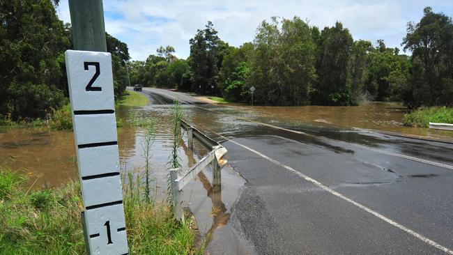
A copy of the Gympie region’s 100 year Average Recurrence Interval (ARI) flood map is available on the council’s website, while further flood maps are available for purchase.

‘Aussie legend’ claims dramatic Tour de France stage win
Gympie celebrates after one of their own, cyclist Kaden Groves, claims a major victory in stage 20 of the Tour de France.

‘Do something now’: Fire ants blamed for river banks collapse
Logan River residents want the state to investigate possible links between deadly fire ants and accelerating river bank erosion as property owners live in fear of landslips.