How Gympie Bypass is going to change the region
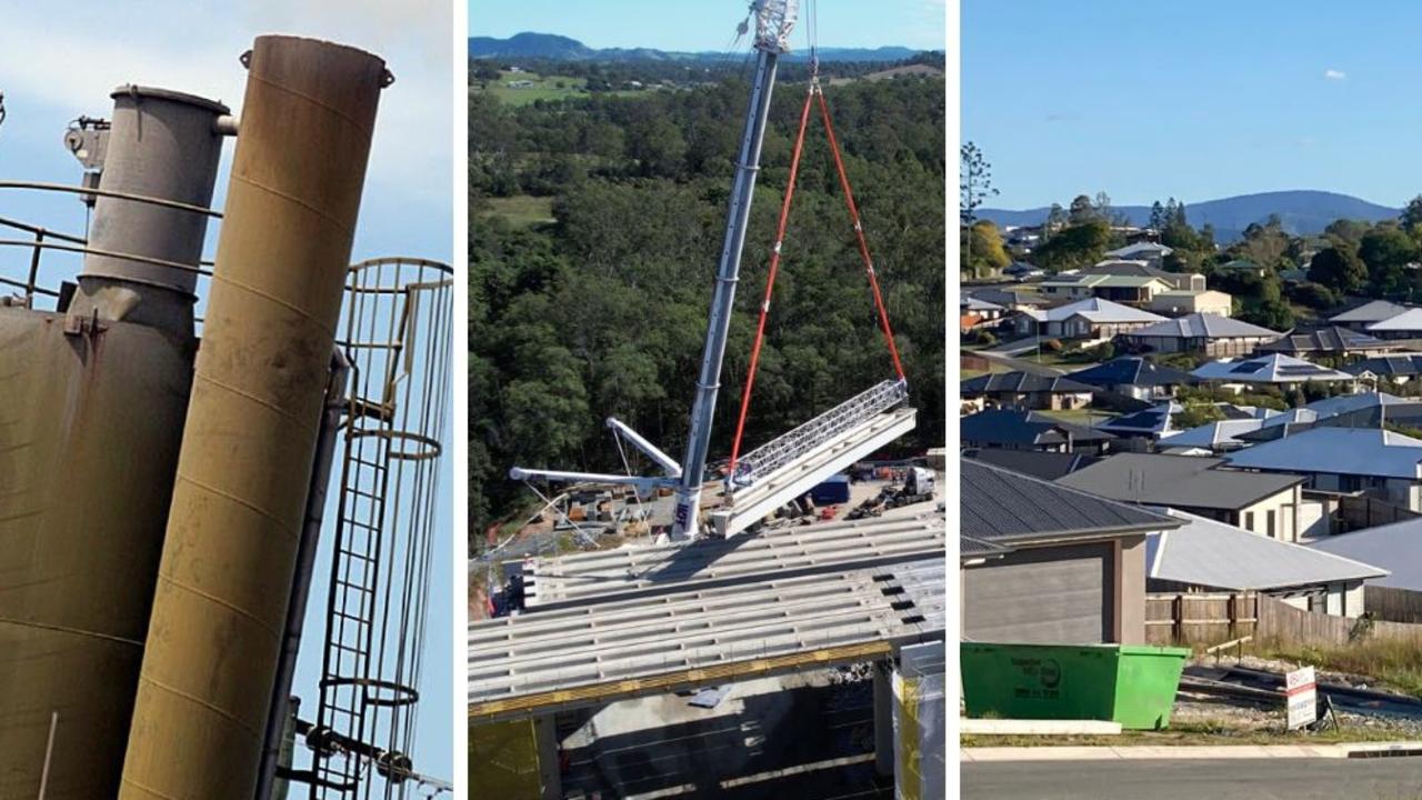
It is no secret the $1bn Gympie Bypass will transform the city centre by getting rid of thousands of polluting cars and trucks, but the mammoth project will also change how the region will develop and grow.

It is no secret the Gympie Bypass will transform the region by taking cars out of the city.
The transformation will go much further than that though.
A raft of new reports released by Gympie Regional Council as part of its work creating a new town plan for 2024, have revealed the $1 billion project will reshape Gympie in multiple ways beyond travel, good and bad.
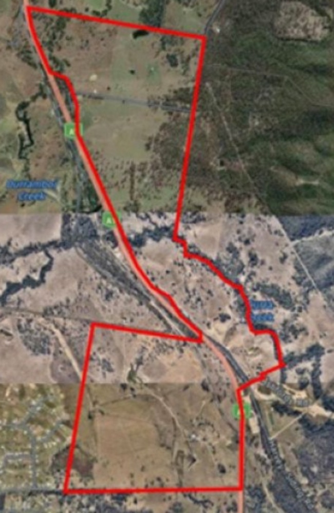
The biggest of these is the potential for the northern tip of the new 26km stretch at Curra to become home to a new industrial park of up to 300ha in size.
About 500ha of land either side of where the bypass rejoins the Old Bruce Hwy at Curra, and stretching north along it, is under investigation to become a new hub.
The park had originally been envisaged at Kybong.
The report says a major hurdle at that location was the flood-prone Old Bruce Hwy, with its risk of being cut in disasters a problem “that could not feasibly be overcome”.
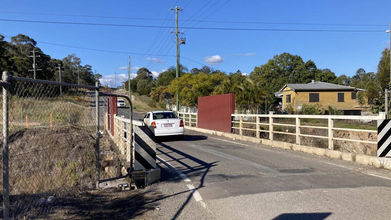
Flipping the coin over, one looming downside of the bypass was the creation of new traffic headaches.
The reports say once opened, Section D of the Cooroy to Curra Bypass will shift about one third of Gympie’s peak hour traffic from the city centre and reroute it east, likely bringing a new set of headaches which are suggested to be urgently fixed.
These included the “pinch point” single lane timber bridge at Hall Rd, the intersection at Horseshoe Bend and Stewart Tce (which is a key link between Gympie Connection Rd and Channon St), and the Noosa and Brisbane roads T-junction.
Other changes wrought by the bypass include the need for thousands of new houses to cater for a growing number of people motoring up the stretch to call Gympie home.
ABS figures reveal between 2016-2021 the three main locations new residents had moved from were all south of the region.
In that period more than 2000 new residents came to Gympie from the Sunshine Coast, while another 1000-plus came from Noosa.
The Gold Coast provided the third highest total of new residents, with more than 300 people shifting from the city for a regional lifestyle.
This influx was not likely to slow down in the coming years either.
More than 7100 new homes will reportedly be needed to cater to a population expected to reach almost 70,000 by 2046.
The reports say the existing planning scheme had a number of shortfalls.
Among these was a lack of diversity in the housing market with the majority of homes being detached and sitting on large blocks, the continual use of medium-density housing areas for low density developments, and agricultural land being used for subdivisions.
Increased duplex, triplex and townhouse development has been identified by the state government as a solution to the lingering housing crisis gripping the region and Queensland.
These houses would need to be built away from the farming and industrial developments the council also needs to protect, to say nothing of the environmental protection which is expected to be delivered under the new scheme.
ABS data from 2021-22 show the agriculture industry is worth more than $600 million to the region, yet reports lay bare that the existing planning scheme falls short of protecting the land it needs to grow and function on.
Arable land along the Mary River and out toward Goomboorian were identified aa prefered locations for the continued growth of nature-based and culinary tourism operations, with the bypass directing more traffic and tourists towards and through those areas.