
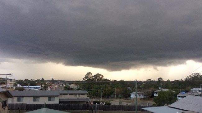
Current modelling indicates the Gympie region could receive 100mm or more over the next two weeks
Current modelling indicates the Gympie region could receive 100mm or more of rain over the next two weeks

Gympie
Don't miss out on the headlines from Gympie. Followed categories will be added to My News.
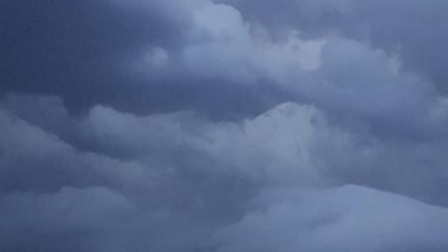
Higgins Storm Chasers have published a weather outlook indicating Gympie region could be in for more than 100mm of rain over the next two weeks based on current modelling.
“Maybe March is going to actually have a crack... something the past four months has failed to do for a lot of people,” Higgins administrator Jeffrey Higgins commented alongside the visual.
Woman assaulted in late night erratic attack at Goldfields
Showers and thunderstorms have been forecast for parts of the Gympie region this week, according to the official weather bureau outlook.
Activate your FREE Courier Mail subscription and you could win $20,000
The bureau has forecast Monday and Tuesday to be relatively “benign” thanks to a high pressure ridge but there was likely to be a change from Wednesday to Friday. There will be a slight chance of showers and storms on Wednesday rising to medium chance on Thursday and Friday, and 90% chance of rain on Saturday and Sunday.
The change is due to a combination of an inland surface trough that‘s currently unstable and a series of upper troughs moving north.
“The inland trough is slowly moving east and it‘s quite moist and unstable, then we also have a series of upper troughs,” a Bureau spokesman said.
“It depends how amplified they are, but there‘s plenty of moisture in the atmosphere to trigger storms.”
Humidity levels are rising which would likely fire up any storm potential.
Above average temperatures of 34C have been forecast for Gympie over the next two days, up on the March long term average of 29.2C.
Thursday is expected to reach a slightly cooler 31C before the temps climb again on Friday and Saturday to 33C and back to 34C on Sunday.
Overnight temperatures of 19-20C are expected.
Ms Wong said despite no hazardous surf warnings a large southerly swell remained offshore which would impact any open beaches, particularly north of Noosa Heads.
Originally published as Current modelling indicates the Gympie region could receive 100mm or more over the next two weeks

‘Skilled mechanic, beautiful soul’: Tributes flow for dad killed in horror crash
Tributes have flowed for a much-loved father and businessman from the Gympie region, who tragically died in a crash near Murgon.
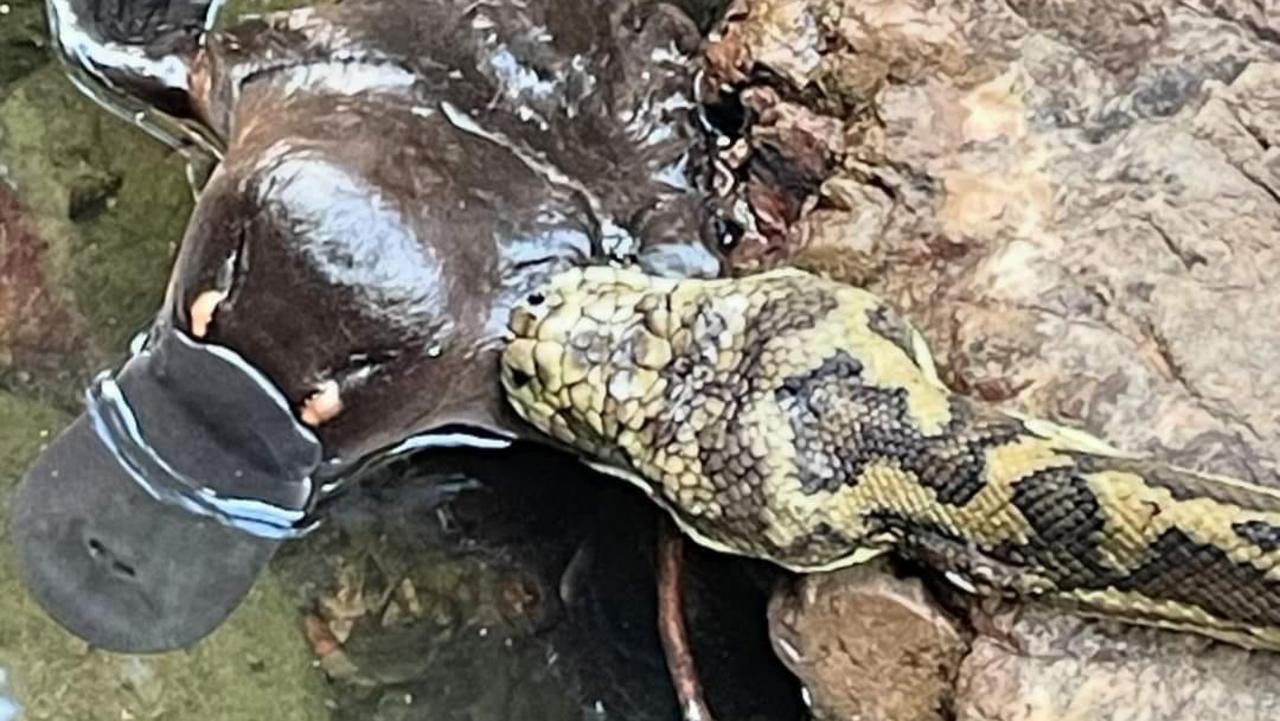
Platypus’ rare encounter with python caught on camera
A platypus in a creek north of Brisbane has had a rare and unfortunate encounter with a hungry carpet python, and the entire thing was caught on film by a photographer out taking a walk in the country.VIDEO, PHOTOS